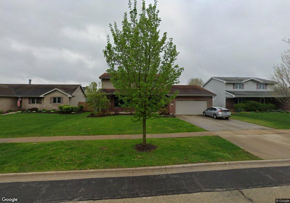
2826 Sharon Dr New Lenox, IL 60451
Estimated Value: $406,341 - $485,000
--
Bed
--
Bath
--
Sq Ft
10,019
Sq Ft Lot
About This Home
This home is located at 2826 Sharon Dr, New Lenox, IL 60451 and is currently estimated at $461,585. 2826 Sharon Dr is a home located in Will County with nearby schools including Nelson Prairie School, Lincoln Way West, and Providence Catholic High School.
Ownership History
Date
Name
Owned For
Owner Type
Purchase Details
Closed on
Jul 12, 2000
Sold by
Nlsb
Bought by
Slowiak Matthew D and Slowiak Patricia K
Current Estimated Value
Home Financials for this Owner
Home Financials are based on the most recent Mortgage that was taken out on this home.
Original Mortgage
$177,649
Interest Rate
8.31%
Create a Home Valuation Report for This Property
The Home Valuation Report is an in-depth analysis detailing your home's value as well as a comparison with similar homes in the area
Home Values in the Area
Average Home Value in this Area
Purchase History
| Date | Buyer | Sale Price | Title Company |
|---|---|---|---|
| Slowiak Matthew D | $51,500 | Chicago Title Insurance Co |
Source: Public Records
Mortgage History
| Date | Status | Borrower | Loan Amount |
|---|---|---|---|
| Closed | Slowiak Matthew D | $177,649 |
Source: Public Records
Tax History Compared to Growth
Tax History
| Year | Tax Paid | Tax Assessment Tax Assessment Total Assessment is a certain percentage of the fair market value that is determined by local assessors to be the total taxable value of land and additions on the property. | Land | Improvement |
|---|---|---|---|---|
| 2024 | $10,323 | $135,210 | $33,732 | $101,478 |
| 2023 | $10,323 | $123,254 | $30,749 | $92,505 |
| 2022 | $9,306 | $113,546 | $28,327 | $85,219 |
| 2021 | $8,833 | $106,787 | $26,641 | $80,146 |
| 2020 | $8,581 | $102,976 | $25,690 | $77,286 |
| 2019 | $8,213 | $99,783 | $24,893 | $74,890 |
| 2018 | $8,022 | $96,344 | $24,035 | $72,309 |
| 2017 | $7,622 | $93,574 | $23,344 | $70,230 |
| 2016 | $7,399 | $91,069 | $22,719 | $68,350 |
| 2015 | $7,127 | $88,203 | $22,004 | $66,199 |
| 2014 | $7,127 | $87,114 | $21,732 | $65,382 |
| 2013 | $7,127 | $88,288 | $22,025 | $66,263 |
Source: Public Records
Map
Nearby Homes
- 450 Kingston Dr
- 519 Kingston Dr
- 200 Montieth St
- 1701 Grand Prairie Dr
- 309 SE Circle Dr
- 2116 Hanover St
- 137 Independence Ave
- 1 NE Circle Dr
- 1500 Ramp
- 120 Anderson Ave
- 506 Navajo Dr
- 1858 David Ave
- Vacant W Maple St
- 810 Peale St
- 4 Peale St
- 2 Peale St
- 302 S Briggs St
- 2208 Fiesta Dr
- 1516 E Washington St
- 2412 Fleetwood Dr