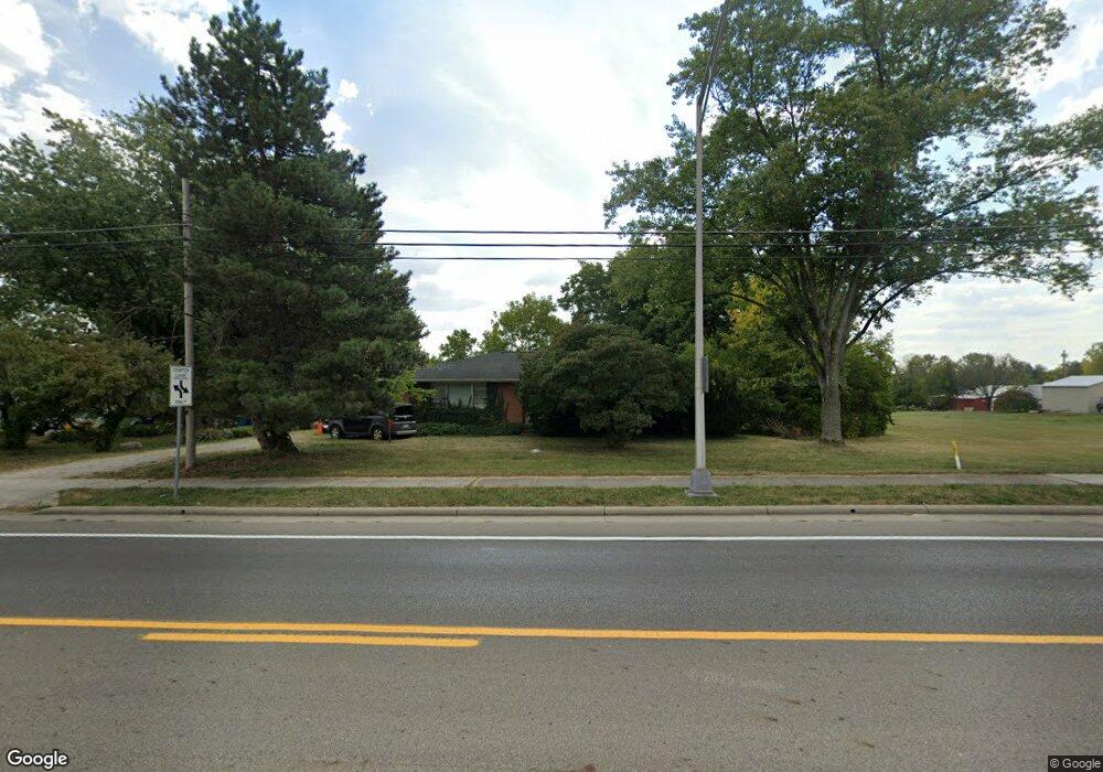
2827 Clime Rd Columbus, OH 43223
Riverbend NeighborhoodEstimated Value: $231,000 - $271,000
3
Beds
1
Bath
1,306
Sq Ft
$191/Sq Ft
Est. Value
About This Home
This home is located at 2827 Clime Rd, Columbus, OH 43223 and is currently estimated at $249,855, approximately $191 per square foot. 2827 Clime Rd is a home located in Franklin County with nearby schools including James A Harmon Elementary School, Franklin Woods Intermediate School, and Finland Middle School.
Ownership History
Date
Name
Owned For
Owner Type
Purchase Details
Closed on
May 3, 2007
Sold by
Beard Jeanette M
Bought by
Franklin County Commissioners
Current Estimated Value
Purchase Details
Closed on
Jan 2, 1963
Bought by
Beard Richard C
Create a Home Valuation Report for This Property
The Home Valuation Report is an in-depth analysis detailing your home's value as well as a comparison with similar homes in the area
Home Values in the Area
Average Home Value in this Area
Purchase History
| Date | Buyer | Sale Price | Title Company |
|---|---|---|---|
| Franklin County Commissioners | $7,764 | None Available | |
| Beard Richard C | -- | -- |
Source: Public Records
Tax History
| Year | Tax Paid | Tax Assessment Tax Assessment Total Assessment is a certain percentage of the fair market value that is determined by local assessors to be the total taxable value of land and additions on the property. | Land | Improvement |
|---|---|---|---|---|
| 2025 | $3,208 | $72,700 | $19,080 | $53,620 |
| 2024 | $3,208 | $72,700 | $19,080 | $53,620 |
| 2023 | $3,223 | $72,695 | $19,075 | $53,620 |
| 2022 | $2,632 | $44,420 | $12,320 | $32,100 |
| 2021 | $2,500 | $44,420 | $12,320 | $32,100 |
| 2020 | $2,496 | $44,420 | $12,320 | $32,100 |
| 2019 | $2,114 | $35,850 | $10,260 | $25,590 |
| 2018 | $2,123 | $35,850 | $10,260 | $25,590 |
| 2017 | $2,200 | $35,850 | $10,260 | $25,590 |
| 2016 | $2,305 | $36,720 | $7,910 | $28,810 |
| 2015 | $2,140 | $36,720 | $7,910 | $28,810 |
| 2014 | $2,142 | $36,720 | $7,910 | $28,810 |
| 2013 | $1,205 | $40,775 | $8,785 | $31,990 |
Source: Public Records
Map
Nearby Homes
- 1360 Hafton Woods Dr
- 1335 Hafton Woods Dr
- 0 Glencreek Rd
- 2856 Chesfield Dr
- 3116 Musket Ridge Dr
- 2937 Rundell Dr
- 1638 Tall Meadows Dr
- 2112 Sondra Ln
- 2800 Alkire Rd
- 0 S Central Ave
- 2600 Plainview Ave
- 1168 Racine Ave
- 1147 Parma Ave
- 2255 Harrisburg Pike
- 1641 Greenville Rd
- 1295 Woodbrook Ln Unit 223
- 1258 Woodbrook Cir W Unit 199
- 1521 October Ridge Ct
- 1605 Greenville Rd
- 2103 Keller Place W
Your Personal Tour Guide
Ask me questions while you tour the home.