2829 Andreason Rd Clinton, WA 98236
Estimated Value: $834,000 - $1,067,000
4
Beds
4
Baths
1,976
Sq Ft
$473/Sq Ft
Est. Value
About This Home
This home is located at 2829 Andreason Rd, Clinton, WA 98236 and is currently estimated at $935,056, approximately $473 per square foot. 2829 Andreason Rd is a home with nearby schools including South Whidbey Elementary School, South Whidbey Middle School, and South Whidbey High School.
Ownership History
Date
Name
Owned For
Owner Type
Purchase Details
Closed on
Apr 12, 2018
Sold by
En Avant Wa Llc
Bought by
White Taylor and White Tiffany
Current Estimated Value
Home Financials for this Owner
Home Financials are based on the most recent Mortgage that was taken out on this home.
Original Mortgage
$60,000
Interest Rate
4.43%
Mortgage Type
New Conventional
Purchase Details
Closed on
Apr 11, 2018
Sold by
En Avent Wa Llc
Bought by
White Taylor and White Tiffany
Home Financials for this Owner
Home Financials are based on the most recent Mortgage that was taken out on this home.
Original Mortgage
$60,000
Interest Rate
4.43%
Mortgage Type
New Conventional
Purchase Details
Closed on
Jun 4, 2009
Sold by
Hooper Cathy Beath and Hooper Steve W
Bought by
En Avant Wa Llc
Purchase Details
Closed on
Oct 13, 2008
Sold by
Riley William James and Murphy Martha M
Bought by
Hooper Cathy Beth and Hooper Steve W
Create a Home Valuation Report for This Property
The Home Valuation Report is an in-depth analysis detailing your home's value as well as a comparison with similar homes in the area
Home Values in the Area
Average Home Value in this Area
Purchase History
| Date | Buyer | Sale Price | Title Company |
|---|---|---|---|
| White Taylor | -- | Stewart Title | |
| White Taylor | $110,000 | Premier Title Of Island Coun | |
| En Avant Wa Llc | -- | None Available | |
| Hooper Cathy Beth | $180,000 | Land Title Co Of Island Co |
Source: Public Records
Mortgage History
| Date | Status | Borrower | Loan Amount |
|---|---|---|---|
| Closed | White Taylor | $60,000 | |
| Closed | White Taylor | $60,000 |
Source: Public Records
Tax History
| Year | Tax Paid | Tax Assessment Tax Assessment Total Assessment is a certain percentage of the fair market value that is determined by local assessors to be the total taxable value of land and additions on the property. | Land | Improvement |
|---|---|---|---|---|
| 2025 | $5,405 | $756,944 | $310,000 | $446,944 |
| 2024 | $5,141 | $750,548 | $300,000 | $450,548 |
| 2023 | $5,141 | $784,153 | $330,000 | $454,153 |
| 2022 | $4,420 | $684,500 | $270,000 | $414,500 |
| 2021 | $4,271 | $554,222 | $190,000 | $364,222 |
| 2020 | $2,401 | $546,103 | $190,000 | $356,103 |
| 2019 | $746 | $311,711 | $200,000 | $111,711 |
| 2018 | $691 | $100,000 | $100,000 | $0 |
| 2017 | $628 | $85,000 | $85,000 | $0 |
| 2016 | $985 | $85,000 | $85,000 | $0 |
| 2015 | $976 | $120,510 | $100,000 | $20,510 |
| 2013 | -- | $115,808 | $95,000 | $20,808 |
Source: Public Records
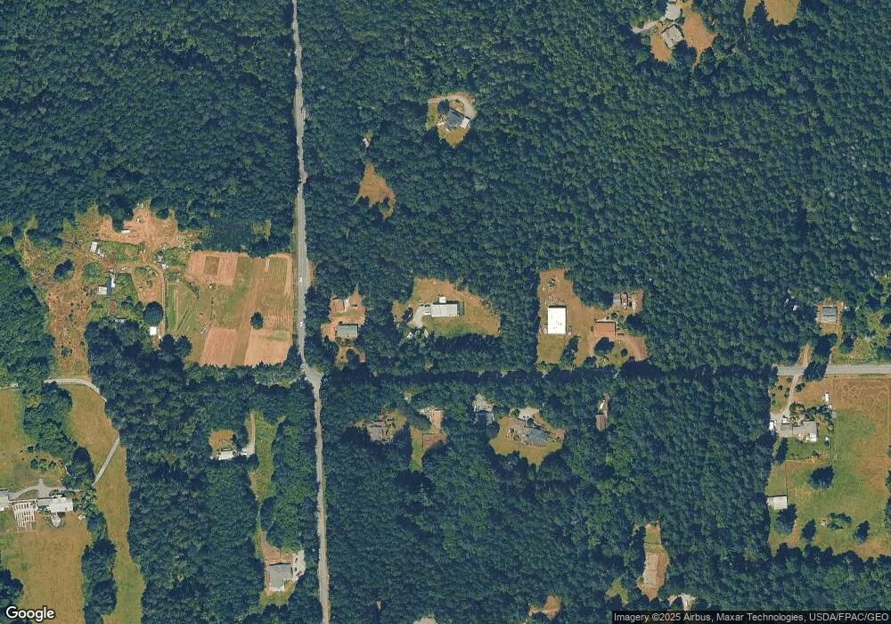
Map
Nearby Homes
- 4958 Wheel Dr
- 4955 Wheel Dr
- 4976 Carlie Dr
- 0 April Dr
- 5427 Bayview Rd
- 4887 Lakeside Dr
- 5265 Lakeside Dr
- 4935 Helppie Ln
- 4610 Cedar Hill Rd
- 0 xxx S Farmers Ln
- 4865 Saratoga Rd
- 0 XXX Coles Rd
- 5777 Kramer Rd
- 0 Primavera Place
- 5504 Emil Rd
- 0 Kramer Rd Unit NWM2475719
- 2150 Newman Rd
- 0 Goss Lake Rd Unit NWM2478591
- 1991 E Beachwood Dr
- 0 Captain Vancouver Dr Unit NWM2442158
- 2859 Andreason Rd
- 2811 Andreason Rd
- 5021 Lone Lake Rd
- 2864 Andreason Rd
- 5025 Lone Lake Rd
- 0 Lot 2 Salal & Lone Lake
- 0 Lot 1 Salal & Lone Lake
- 4987 Lone Lake Rd
- 5044 Lone Lake Rd
- 2782 Salal Ln
- 5053 Lone Lake Rd
- 2850 Andreason Rd
- 2910 Andreason Rd
- 2879 Twin Pine Dr
- 2911 Andreason Rd
- 2870 Andreason Rd
- 2771 Salal Ln
- 2760 Salal Ln
- 4933 Lone Lake Rd
- 2852 Andreason Rd
Your Personal Tour Guide
Ask me questions while you tour the home.