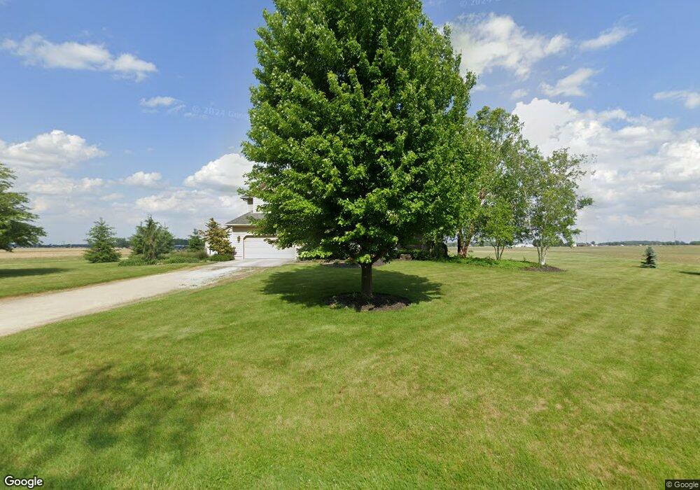
2829 Darr Rd Fremont, OH 43420
Estimated Value: $346,000 - $466,004
3
Beds
3
Baths
3,283
Sq Ft
$128/Sq Ft
Est. Value
About This Home
This home is located at 2829 Darr Rd, Fremont, OH 43420 and is currently estimated at $420,001, approximately $127 per square foot. 2829 Darr Rd is a home with nearby schools including Fremont Ross High School.
Ownership History
Date
Name
Owned For
Owner Type
Purchase Details
Closed on
May 17, 2024
Sold by
Michael Gregory L and Michael Jenifer L
Bought by
Michael Family Trust and Michael
Current Estimated Value
Purchase Details
Closed on
Jul 11, 2022
Sold by
Michael Richard M and Michael Suzanne M
Bought by
Michael Gregory L and Michael Jenifer L
Purchase Details
Closed on
May 28, 2008
Sold by
Michael Richard and Michael Suzanne M
Bought by
Michael Gregory L and Michael Jenifer L
Create a Home Valuation Report for This Property
The Home Valuation Report is an in-depth analysis detailing your home's value as well as a comparison with similar homes in the area
Home Values in the Area
Average Home Value in this Area
Purchase History
| Date | Buyer | Sale Price | Title Company |
|---|---|---|---|
| Michael Family Trust | -- | None Listed On Document | |
| Michael Gregory L | -- | Chudzinski Anthony A | |
| Michael Gregory L | -- | Chudzinski Anthony A | |
| Michael Gregory L | -- | Attorney |
Source: Public Records
Tax History Compared to Growth
Tax History
| Year | Tax Paid | Tax Assessment Tax Assessment Total Assessment is a certain percentage of the fair market value that is determined by local assessors to be the total taxable value of land and additions on the property. | Land | Improvement |
|---|---|---|---|---|
| 2024 | $5,237 | $131,680 | $15,790 | $115,890 |
| 2023 | $5,237 | $102,170 | $12,500 | $89,670 |
| 2022 | $4,387 | $101,610 | $11,940 | $89,670 |
| 2021 | $4,445 | $101,610 | $11,940 | $89,670 |
| 2020 | $4,293 | $96,220 | $11,480 | $84,740 |
| 2019 | $4,289 | $96,220 | $11,480 | $84,740 |
| 2018 | $4,176 | $96,220 | $11,480 | $84,740 |
| 2017 | $3,957 | $90,690 | $11,480 | $79,210 |
| 2016 | $3,480 | $90,690 | $11,480 | $79,210 |
| 2015 | $3,426 | $90,690 | $11,480 | $79,210 |
| 2014 | $3,381 | $85,720 | $10,850 | $74,870 |
| 2013 | $3,312 | $85,720 | $10,850 | $74,870 |
Source: Public Records
Map
Nearby Homes
- 855 Rambo Ln
- 43 Sun Valley Dr Unit 43
- 2484 Buckland Ave
- 350 Conner Dr
- 1970 Morrison Rd
- 1818 Finley Dr
- 41 Brookview Dr
- 10 Meadowbrook Dr
- 10 Meadowbrook Ln
- 64 River Run Dr Unit J
- 64 River Run Dr
- 1832 Myrtle St
- 135 Briarwood Cir
- 2020 Elm Dr
- 1826 Morrison Rd
- 822 Upton Rd
- 1719 Buckland Ave
- 1485 Autumn Woods Dr
- 880 Cleveland Ave
- 18 Katlyn Dr