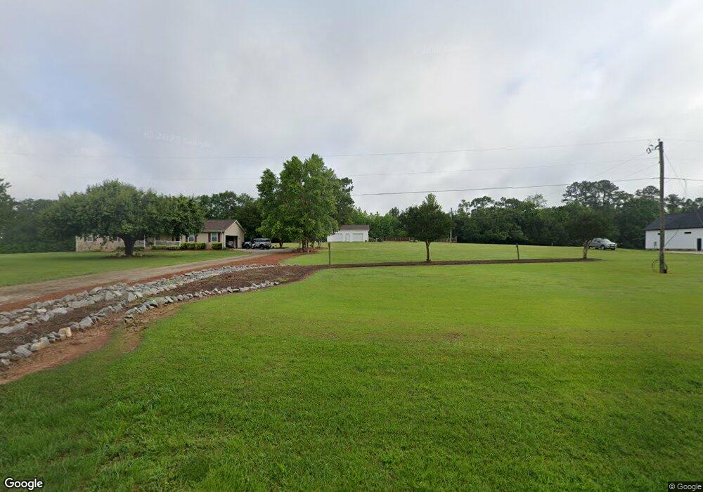
2829 Highway 417 Woodruff, SC 29388
Estimated Value: $240,000 - $330,433
2
Beds
1
Bath
1,213
Sq Ft
$223/Sq Ft
Est. Value
About This Home
This home is located at 2829 Highway 417, Woodruff, SC 29388 and is currently estimated at $270,358, approximately $222 per square foot. 2829 Highway 417 is a home with nearby schools including Woodruff Primary School, Woodruff Elementary School, and Woodruff Middle School.
Ownership History
Date
Name
Owned For
Owner Type
Purchase Details
Closed on
Feb 23, 2023
Sold by
Brown Charles B
Bought by
Brown Charles B and Brown Bobbie
Current Estimated Value
Purchase Details
Closed on
Feb 22, 2023
Sold by
Brown Charles B
Bought by
Duncan Brian D and Duncan Mary E
Purchase Details
Closed on
Feb 10, 2020
Sold by
Brown John W and Brown Wayne Brown
Bought by
Bell Kathryn E and Bell Paul J
Home Financials for this Owner
Home Financials are based on the most recent Mortgage that was taken out on this home.
Interest Rate
3.45%
Purchase Details
Closed on
Dec 18, 2009
Sold by
Brown Wayne
Bought by
Brown Charles B and Duncan Mary Elaine Brown
Purchase Details
Closed on
Dec 16, 2009
Sold by
Brown Charles B and Duncan Mary Elaine Brown
Bought by
Brown Wayne
Purchase Details
Closed on
May 31, 2005
Sold by
Wood Mary Ada Rogers
Bought by
Brown Wayne
Create a Home Valuation Report for This Property
The Home Valuation Report is an in-depth analysis detailing your home's value as well as a comparison with similar homes in the area
Home Values in the Area
Average Home Value in this Area
Purchase History
| Date | Buyer | Sale Price | Title Company |
|---|---|---|---|
| Brown Charles B | -- | -- | |
| Brown Charles B | -- | -- | |
| Duncan Brian D | -- | None Listed On Document | |
| Duncan Brian D | -- | -- | |
| Duncan Brian D | -- | -- | |
| Bell Kathryn E | $8,120,000 | -- | |
| Brown Charles B | -- | -- | |
| Brown Wayne | -- | -- | |
| Brown Wayne | -- | -- |
Source: Public Records
Mortgage History
| Date | Status | Borrower | Loan Amount |
|---|---|---|---|
| Previous Owner | Bell Kathryn E | -- |
Source: Public Records
Tax History Compared to Growth
Tax History
| Year | Tax Paid | Tax Assessment Tax Assessment Total Assessment is a certain percentage of the fair market value that is determined by local assessors to be the total taxable value of land and additions on the property. | Land | Improvement |
|---|---|---|---|---|
| 2025 | $1,493 | $3,858 | $942 | $2,916 |
| 2024 | $1,493 | $3,858 | $942 | $2,916 |
| 2023 | $1,493 | $3,871 | $955 | $2,916 |
| 2022 | $1,183 | $3,097 | $811 | $2,286 |
| 2021 | $1,187 | $3,097 | $811 | $2,286 |
| 2020 | $1,144 | $3,097 | $811 | $2,286 |
| 2019 | $1,144 | $3,097 | $811 | $2,286 |
| 2018 | $1,123 | $3,148 | $823 | $2,325 |
| 2017 | $1,017 | $2,755 | $715 | $2,040 |
| 2016 | $1,019 | $2,755 | $715 | $2,040 |
| 2015 | $1,011 | $2,755 | $715 | $2,040 |
| 2014 | $1,006 | $2,755 | $715 | $2,040 |
Source: Public Records
Map
Nearby Homes
- 737 Rockhurst Way
- 2991 S Carolina 417
- 129 Owings Rd
- 217 Castlebar St St
- 1771 Odessa Ln
- 565 Fenwick Dr
- 488 Fenwick Dr
- 561 Fenwick Dr
- 521 Fenwick Dr
- 569 Fenwick Dr
- 110 Chicken Foot Creek Rd
- 134 Layken Ln
- 190 Layken Ln
- 210 Castlebar St St
- 210 Castlebar St
- 213 Castlebar St
- 214 Castlebar St St
- 214 Castlebar St
- 217 Castlebar St
- 221 Castlebar St
- 2912 Highway 417
- 2815 Highway 417
- 201 Magnolia St
- 209 Magnolia St
- 2819 Highway 417
- 2809 Highway 417
- 2770 Highway 417
- 2771 Highway 417
- 2775 Highway 417
- 2730 Highway 417
- 2765 Highway 417
- 2735 Highway 417 Unit 2739
- 2740 Highway 417 Unit 2720
- 105 Workman Rd
- 2950 Highway 417
- 1864 Sourwood Dr
- 1860 Sourwood Dr
- 1482 Talley Ridge Dr
- 1409 Talley Ridge Dr
- 1405 Talley Ridge Dr