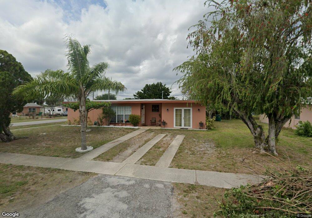
2829 Starlite Ln Port Charlotte, FL 33952
Estimated Value: $141,000 - $167,000
2
Beds
1
Bath
928
Sq Ft
$165/Sq Ft
Est. Value
About This Home
This home is located at 2829 Starlite Ln, Port Charlotte, FL 33952 and is currently estimated at $153,576, approximately $165 per square foot. 2829 Starlite Ln is a home located in Charlotte County with nearby schools including Peace River Elementary School, Port Charlotte Middle School, and Charlotte High School.
Ownership History
Date
Name
Owned For
Owner Type
Purchase Details
Closed on
Jan 16, 2003
Sold by
Brannick Albert and Brannick Ruth A
Bought by
Davis Lisa A
Current Estimated Value
Home Financials for this Owner
Home Financials are based on the most recent Mortgage that was taken out on this home.
Original Mortgage
$54,150
Outstanding Balance
$23,337
Interest Rate
6.16%
Mortgage Type
Purchase Money Mortgage
Estimated Equity
$130,239
Purchase Details
Closed on
May 6, 1994
Sold by
Housing & Urban Dev Washington
Bought by
Brannick Albert and Brannick Ruth A
Home Financials for this Owner
Home Financials are based on the most recent Mortgage that was taken out on this home.
Original Mortgage
$26,150
Interest Rate
8.27%
Purchase Details
Closed on
Nov 22, 1993
Sold by
Source 1 Mtg Svc Corp
Bought by
Housing & Urban Dev
Purchase Details
Closed on
Oct 27, 1993
Sold by
Clerk Circuit Court
Bought by
Source 1 Mtg Svc Corp
Create a Home Valuation Report for This Property
The Home Valuation Report is an in-depth analysis detailing your home's value as well as a comparison with similar homes in the area
Home Values in the Area
Average Home Value in this Area
Purchase History
| Date | Buyer | Sale Price | Title Company |
|---|---|---|---|
| Davis Lisa A | $55,000 | -- | |
| Brannick Albert | $32,700 | -- | |
| Housing & Urban Dev | -- | -- | |
| Source 1 Mtg Svc Corp | -- | -- |
Source: Public Records
Mortgage History
| Date | Status | Borrower | Loan Amount |
|---|---|---|---|
| Open | Davis Lisa A | $54,150 | |
| Previous Owner | Brannick Albert | $26,150 |
Source: Public Records
Tax History Compared to Growth
Tax History
| Year | Tax Paid | Tax Assessment Tax Assessment Total Assessment is a certain percentage of the fair market value that is determined by local assessors to be the total taxable value of land and additions on the property. | Land | Improvement |
|---|---|---|---|---|
| 2023 | $807 | $30,627 | $0 | $0 |
| 2022 | $752 | $29,735 | $0 | $0 |
| 2021 | $730 | $28,869 | $0 | $0 |
| 2020 | $692 | $28,470 | $0 | $0 |
| 2019 | $620 | $27,830 | $0 | $0 |
| 2018 | $558 | $27,311 | $0 | $0 |
| 2017 | $543 | $26,749 | $0 | $0 |
| 2016 | $529 | $26,199 | $0 | $0 |
| 2015 | $502 | $26,017 | $0 | $0 |
| 2014 | $478 | $25,811 | $0 | $0 |
Source: Public Records
Map
Nearby Homes
- 3155 Key Ln
- 21536 Holdern Ave
- 3413 Westlund Terrace
- 3124 Crestwood Dr
- 3132 Crestwood Dr
- 3157 Crestwood Dr
- 21456 Holdern Ave
- 3420 Croton Terrace
- 21455 Mallory Ave
- 3341 Croton Terrace
- 21422 Mallory Ave
- 21448 Kenyon Ave
- 3107 Easy St
- 3436 Lucerne Terrace
- 3246 Oswego St
- 3197 Normandy Dr
- 3213 Normandy Dr
- 21904 Beverly Ave
- 1492 Birchcrest Blvd
- 3421 Maple Terrace