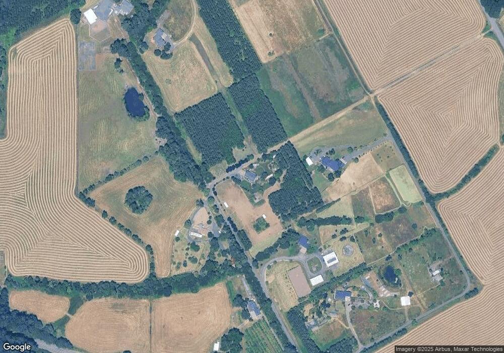
28293 Andrews Ln Corvallis, OR 97330
Estimated Value: $919,000 - $1,319,000
4
Beds
4
Baths
3,207
Sq Ft
$339/Sq Ft
Est. Value
About This Home
This home is located at 28293 Andrews Ln, Corvallis, OR 97330 and is currently estimated at $1,086,526, approximately $338 per square foot. 28293 Andrews Ln is a home located in Benton County with nearby schools including Mt. View Elementary School, Cheldelin Middle School, and Crescent Valley High School.
Ownership History
Date
Name
Owned For
Owner Type
Purchase Details
Closed on
Jun 27, 2008
Sold by
Clarke Timothy A and Clarke Carolynn K
Bought by
Gowing Peter D and Gowing Erin K
Current Estimated Value
Home Financials for this Owner
Home Financials are based on the most recent Mortgage that was taken out on this home.
Original Mortgage
$417,000
Outstanding Balance
$267,925
Interest Rate
5.99%
Mortgage Type
Purchase Money Mortgage
Estimated Equity
$818,601
Create a Home Valuation Report for This Property
The Home Valuation Report is an in-depth analysis detailing your home's value as well as a comparison with similar homes in the area
Home Values in the Area
Average Home Value in this Area
Purchase History
| Date | Buyer | Sale Price | Title Company |
|---|---|---|---|
| Gowing Peter D | $685,000 | Lawyers Title Insurance Corp |
Source: Public Records
Mortgage History
| Date | Status | Borrower | Loan Amount |
|---|---|---|---|
| Open | Gowing Peter D | $417,000 |
Source: Public Records
Tax History Compared to Growth
Tax History
| Year | Tax Paid | Tax Assessment Tax Assessment Total Assessment is a certain percentage of the fair market value that is determined by local assessors to be the total taxable value of land and additions on the property. | Land | Improvement |
|---|---|---|---|---|
| 2024 | $6,225 | $421,041 | -- | -- |
| 2023 | $8,524 | $408,775 | $0 | $0 |
| 2022 | $4,940 | $344,583 | $0 | $0 |
| 2021 | $4,771 | $334,549 | $0 | $0 |
| 2020 | $4,736 | $324,804 | $0 | $0 |
| 2019 | $4,336 | $315,345 | $0 | $0 |
| 2018 | $4,370 | $306,160 | $0 | $0 |
| 2017 | $3,978 | $297,242 | $0 | $0 |
| 2016 | $3,952 | $288,584 | $0 | $0 |
| 2015 | $3,874 | $280,179 | $0 | $0 |
| 2014 | $3,779 | $272,017 | $0 | $0 |
| 2012 | -- | $254,745 | $0 | $0 |
Source: Public Records
Map
Nearby Homes
- 0 Unassigned Unit 21274407
- 39027 Trillium Ln
- 0 Highway 99w Unit 23169928
- 1163 SW 11th Ave
- 27494 S Boundary Rd
- Lot 900 NE Hibiscus Dr
- 37524 Soap Creek Rd
- 37524 NW Soap Creek Rd
- 7120 SE Andrea Ln
- 7173 SE Cheryl Ct
- 7274 SE Ronelle Ct
- 7257 SE Berg Dr
- 7080 Pinot Noir Dr
- 3981 SE Weigel St
- 7063 Pinot Noir Dr
- 7061 Pinot Noir Dr
- 7071 SE Pinot Noir Dr
- 7065 Pinot Noir Dr
- 7064 Pinot Noir Dr
- Lot 6 NW Earliblue Dr
- 28238 Andrews Ln
- 28175 Andrews Ln
- 28273 Tampico Rd
- 28323 Tampico Rd
- 28230 Yvette Ln
- 28250 Yvette Ln
- 28192 Yvette Ln
- 28215 Yvette Ln
- 28107 Tampico Rd
- 28245 Yvette Ln
- 38993 Rifle Range Rd
- 0 Unassigned Unit 22021991
- 0 Unassigned Unit 22649271
- 0 Unassigned Unit 22616884
- 0 Unassigned Unit 21538748
- 0 Unassigned Unit 9028100
- 0 Unassigned Unit 18688663
- 0 Unassigned Unit 20131110
- 0 Unassigned Unit 18012924
- 39021 Rifle Range Rd