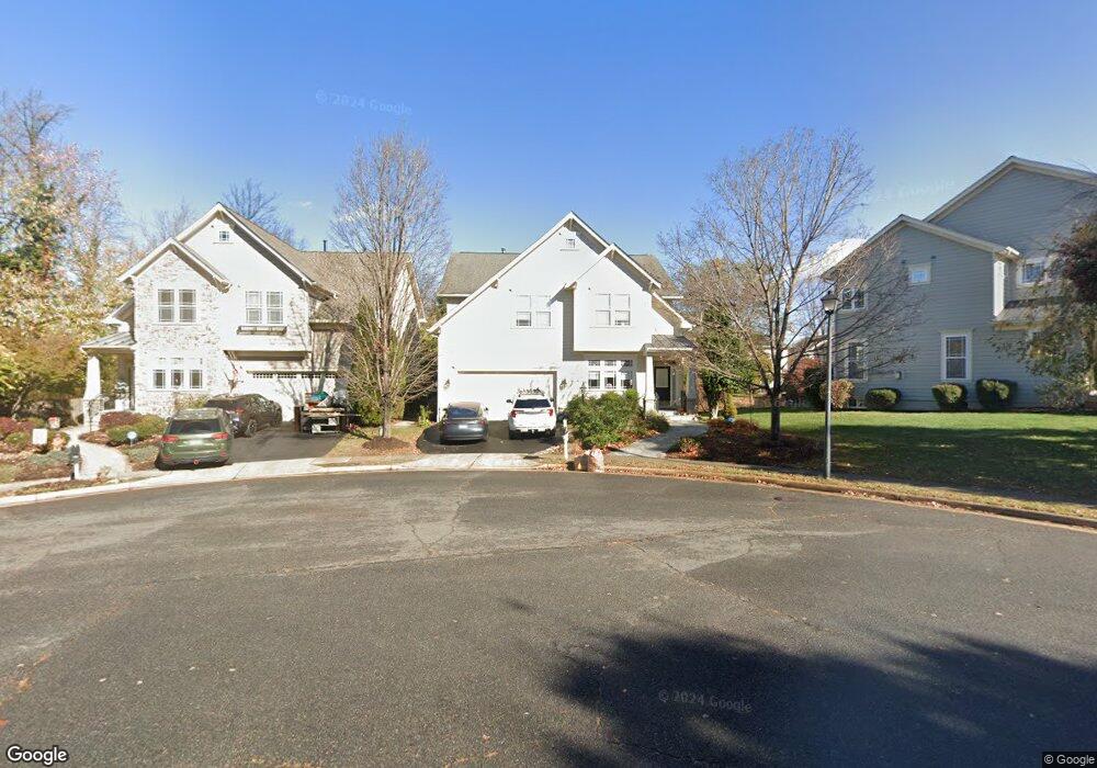
283 Ariel Dr NE Leesburg, VA 20176
Estimated Value: $845,368 - $942,000
4
Beds
3
Baths
2,874
Sq Ft
$316/Sq Ft
Est. Value
About This Home
This home is located at 283 Ariel Dr NE, Leesburg, VA 20176 and is currently estimated at $908,842, approximately $316 per square foot. 283 Ariel Dr NE is a home located in Loudoun County with nearby schools including Leesburg Elementary School, Smart's Mill Middle School, and Tuscarora High School.
Ownership History
Date
Name
Owned For
Owner Type
Purchase Details
Closed on
Jan 21, 2021
Sold by
Tester Earl L and Brandts Amy A
Bought by
Tster Earl L and Brandts Amy A
Current Estimated Value
Purchase Details
Closed on
May 18, 2004
Sold by
Tester Earl L and Tester Amy A
Bought by
Tester Brandts Family Trust and Tester
Home Financials for this Owner
Home Financials are based on the most recent Mortgage that was taken out on this home.
Original Mortgage
$333,700
Interest Rate
5.47%
Mortgage Type
New Conventional
Purchase Details
Closed on
May 17, 2004
Sold by
Centex Homes
Bought by
Tester Earl L and Brandts,Amy A
Home Financials for this Owner
Home Financials are based on the most recent Mortgage that was taken out on this home.
Original Mortgage
$333,700
Interest Rate
5.47%
Mortgage Type
New Conventional
Create a Home Valuation Report for This Property
The Home Valuation Report is an in-depth analysis detailing your home's value as well as a comparison with similar homes in the area
Home Values in the Area
Average Home Value in this Area
Purchase History
| Date | Buyer | Sale Price | Title Company |
|---|---|---|---|
| Tster Earl L | -- | None Available | |
| Tester Brandts Family Trust | -- | Oreilly Margaret A | |
| Tester Earl L | $477,160 | -- |
Source: Public Records
Mortgage History
| Date | Status | Borrower | Loan Amount |
|---|---|---|---|
| Previous Owner | Tester Earl L | $333,700 |
Source: Public Records
Tax History Compared to Growth
Tax History
| Year | Tax Paid | Tax Assessment Tax Assessment Total Assessment is a certain percentage of the fair market value that is determined by local assessors to be the total taxable value of land and additions on the property. | Land | Improvement |
|---|---|---|---|---|
| 2025 | $6,830 | $848,450 | $254,000 | $594,450 |
| 2024 | $6,869 | $794,150 | $237,000 | $557,150 |
| 2023 | $6,754 | $771,840 | $222,000 | $549,840 |
| 2022 | $6,251 | $702,410 | $197,000 | $505,410 |
| 2021 | $5,964 | $608,600 | $198,800 | $409,800 |
| 2020 | $6,230 | $601,960 | $178,800 | $423,160 |
| 2019 | $6,147 | $588,220 | $178,800 | $409,420 |
| 2018 | $5,845 | $538,680 | $148,800 | $389,880 |
| 2017 | $5,919 | $526,130 | $148,800 | $377,330 |
| 2016 | $6,002 | $524,210 | $0 | $0 |
| 2015 | $948 | $369,330 | $0 | $369,330 |
| 2014 | $879 | $331,650 | $0 | $331,650 |
Source: Public Records
Map
Nearby Homes
- 276 Ariel Dr NE
- 293 Ariel Dr NE
- 216 Wildman St NE
- 222 Wirt St NW
- 2 Stationmaster St SE Unit 302
- 5 Stationmaster St SE Unit 202
- 3 Stationmaster St SE Unit 402
- BIRKHALL Plan at Brickyard
- BALMORAL Plan at Brickyard
- HIGHGROVE Plan at Brickyard
- 710 North St NE
- 414 Madison Ct SE
- 0 Loudoun St SW Unit VALO2106424
- 411 Bicksler Square SE
- 265 High Rail Terrace SE
- 459 Kornblau Terrace SE
- 108 Stoneledge Place NE
- 109 Belmont Dr SW
- 514 Covington Terrace NE
- 314 Rock Spring Dr SW
- 281 Ariel Dr NE
- 285 Ariel Dr NE
- 489 Marshall Dr NE
- 287 Ariel Dr NE
- 487 Marshall Dr NE
- 289 Ariel Dr NE
- 491 Marshall Dr NE
- 274 Ariel Dr NE
- 272 Ariel Dr NE
- 291 Ariel Dr NE
- 270 Ariel Dr NE
- 493 Marshall Dr NE
- 278 Ariel Dr NE
- 280 Ariel Dr NE
- 295 Ariel Dr NE
- 284 Ariel Dr NE
- 286 Ariel Dr NE
- 282 Ariel Dr NE
- 288 Ariel Dr NE
- 486 Marshall Dr NE