283 E Main St Unit 39 Norton, MA 02766
Estimated Value: $420,842 - $539,000
2
Beds
3
Baths
1,296
Sq Ft
$373/Sq Ft
Est. Value
About This Home
This home is located at 283 E Main St Unit 39, Norton, MA 02766 and is currently estimated at $483,211, approximately $372 per square foot. 283 E Main St Unit 39 is a home located in Bristol County with nearby schools including L.G. Nourse Elementary School, Henri A. Yelle Elementary School, and Norton Middle School.
Ownership History
Date
Name
Owned For
Owner Type
Purchase Details
Closed on
Jun 11, 2007
Sold by
Kraus Ft
Bought by
Joseph L Hozid T
Current Estimated Value
Purchase Details
Closed on
Feb 21, 2003
Sold by
Graham Arthur M and Graham Sharon L
Bought by
Michelmore John H and Hughart Joseph M
Home Financials for this Owner
Home Financials are based on the most recent Mortgage that was taken out on this home.
Original Mortgage
$193,250
Interest Rate
5.98%
Mortgage Type
Purchase Money Mortgage
Purchase Details
Closed on
Sep 20, 1988
Sold by
G P Devlp Inc
Bought by
Graham Arthur M
Home Financials for this Owner
Home Financials are based on the most recent Mortgage that was taken out on this home.
Original Mortgage
$122,400
Interest Rate
10.43%
Mortgage Type
Purchase Money Mortgage
Create a Home Valuation Report for This Property
The Home Valuation Report is an in-depth analysis detailing your home's value as well as a comparison with similar homes in the area
Home Values in the Area
Average Home Value in this Area
Purchase History
| Date | Buyer | Sale Price | Title Company |
|---|---|---|---|
| Joseph L Hozid T | -- | -- | |
| Michelmore John H | $254,900 | -- | |
| Graham Arthur M | $85,000 | -- |
Source: Public Records
Mortgage History
| Date | Status | Borrower | Loan Amount |
|---|---|---|---|
| Previous Owner | Michelmore John H | $193,250 | |
| Previous Owner | Graham Arthur M | $84,000 | |
| Previous Owner | Graham Arthur M | $122,400 |
Source: Public Records
Tax History
| Year | Tax Paid | Tax Assessment Tax Assessment Total Assessment is a certain percentage of the fair market value that is determined by local assessors to be the total taxable value of land and additions on the property. | Land | Improvement |
|---|---|---|---|---|
| 2025 | $45 | $348,400 | $0 | $348,400 |
| 2024 | $4,382 | $338,400 | $0 | $338,400 |
| 2023 | $3,932 | $302,700 | $0 | $302,700 |
| 2022 | $3,874 | $271,700 | $0 | $271,700 |
| 2021 | $3,762 | $252,000 | $0 | $252,000 |
| 2020 | $3,818 | $258,000 | $0 | $258,000 |
| 2019 | $3,683 | $247,200 | $0 | $247,200 |
| 2018 | $3,660 | $241,400 | $0 | $241,400 |
| 2017 | $3,504 | $228,000 | $0 | $228,000 |
| 2016 | $3,492 | $223,700 | $0 | $223,700 |
| 2015 | $3,273 | $212,700 | $0 | $212,700 |
| 2014 | $3,177 | $206,700 | $0 | $206,700 |
Source: Public Records
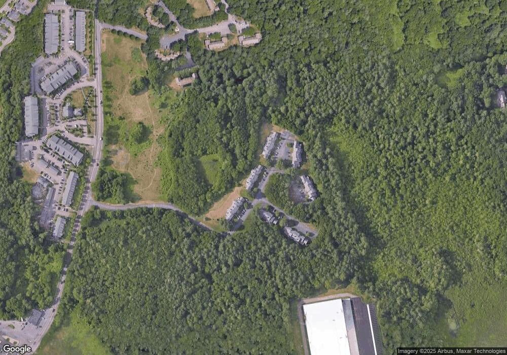
Map
Nearby Homes
- O Leonard St
- 195 E Main St
- 1 Wilbur Terrace Unit 6
- 0 S Washington St Unit 73437419
- 104 Newcomb St Unit E
- 15 S Washington St
- 9 Winnecunnet Dr Unit 9
- 0 Kensington Rd
- 17 Lloyd Cir Unit 36
- 24 Lloyd Cir Unit 34
- 103 King Philip Rd
- 0 Cobb St
- 0 Brook Pkwy
- 34R Pine St
- 90 Pine St
- 268 Reservoir St
- 30 Samoset St
- 13 Lloyd Cir Unit 34
- 11 Lloyd Cir Unit 39
- 29 Germain Way Unit 3
- 283 E Main St Unit 15
- 283 E Main St Unit 20
- 283 E Main St Unit 40
- 283 E Main St Unit 38
- 283 E Main St Unit 37
- 283 E Main St Unit 36
- 283 E Main St Unit 35
- 283 E Main St Unit 34
- 283 E Main St Unit 33
- 283 E Main St Unit 32
- 283 E Main St Unit 31
- 283 E Main St Unit 30
- 283 E Main St Unit 29
- 283 E Main St Unit 28
- 283 E Main St Unit 27
- 283 E Main St Unit 26
- 283 E Main St Unit 25
- 283 E Main St Unit 24
- 283 E Main St Unit 23
- 283 E Main St Unit 22
Your Personal Tour Guide
Ask me questions while you tour the home.