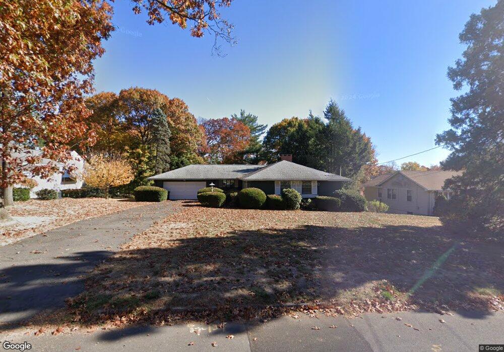
283 Garry Dr New Britain, CT 06052
Estimated Value: $363,879 - $384,000
3
Beds
2
Baths
1,560
Sq Ft
$237/Sq Ft
Est. Value
About This Home
This home is located at 283 Garry Dr, New Britain, CT 06052 and is currently estimated at $369,220, approximately $236 per square foot. 283 Garry Dr is a home located in Hartford County with nearby schools including Lincoln School, Slade Middle School, and Mountain Laurel Sudbury School.
Ownership History
Date
Name
Owned For
Owner Type
Purchase Details
Closed on
Nov 3, 1997
Sold by
Laliberte Andre and Palumbo Valerie
Bought by
Boyek Robin L
Current Estimated Value
Home Financials for this Owner
Home Financials are based on the most recent Mortgage that was taken out on this home.
Original Mortgage
$125,200
Outstanding Balance
$20,602
Interest Rate
7.31%
Mortgage Type
Unknown
Estimated Equity
$348,618
Purchase Details
Closed on
Apr 3, 1987
Sold by
Lisitano Cecilia G
Bought by
Fontana John P
Create a Home Valuation Report for This Property
The Home Valuation Report is an in-depth analysis detailing your home's value as well as a comparison with similar homes in the area
Home Values in the Area
Average Home Value in this Area
Purchase History
| Date | Buyer | Sale Price | Title Company |
|---|---|---|---|
| Boyek Robin L | $126,000 | -- | |
| Fontana John P | $176,500 | -- |
Source: Public Records
Mortgage History
| Date | Status | Borrower | Loan Amount |
|---|---|---|---|
| Open | Fontana John P | $125,200 |
Source: Public Records
Tax History Compared to Growth
Tax History
| Year | Tax Paid | Tax Assessment Tax Assessment Total Assessment is a certain percentage of the fair market value that is determined by local assessors to be the total taxable value of land and additions on the property. | Land | Improvement |
|---|---|---|---|---|
| 2025 | $6,980 | $178,150 | $65,660 | $112,490 |
| 2024 | $7,053 | $178,150 | $65,660 | $112,490 |
| 2023 | $6,820 | $178,150 | $65,660 | $112,490 |
| 2022 | $5,884 | $118,860 | $30,240 | $88,620 |
| 2021 | $5,884 | $118,860 | $30,240 | $88,620 |
| 2020 | $6,002 | $118,860 | $30,240 | $88,620 |
| 2019 | $6,002 | $118,860 | $30,240 | $88,620 |
| 2018 | $6,002 | $118,860 | $30,240 | $88,620 |
| 2017 | $6,292 | $124,600 | $30,800 | $93,800 |
| 2016 | $6,292 | $124,600 | $30,800 | $93,800 |
| 2015 | $6,105 | $124,600 | $30,800 | $93,800 |
| 2014 | $6,105 | $124,600 | $30,800 | $93,800 |
Source: Public Records
Map
Nearby Homes
- 236 Garry Dr
- 149 Pennsylvania Ave Unit 151
- 78 May St
- 84 May St
- 817 W Main St
- 28 Weigands Dr
- 145 Reservoir Rd
- 30 Westerly St
- 80 N Mountain Rd Unit B
- 43 Westerly St
- 65 Torkom Dr
- 300 Lincoln St
- 112 Lincoln St
- 367 Lincoln St
- 42 Fairlane Dr
- 66 Lincoln St
- 423 Monroe St
- 1467 Corbin Ave
- 565 Lincoln St
- 58 Forshaw Ave