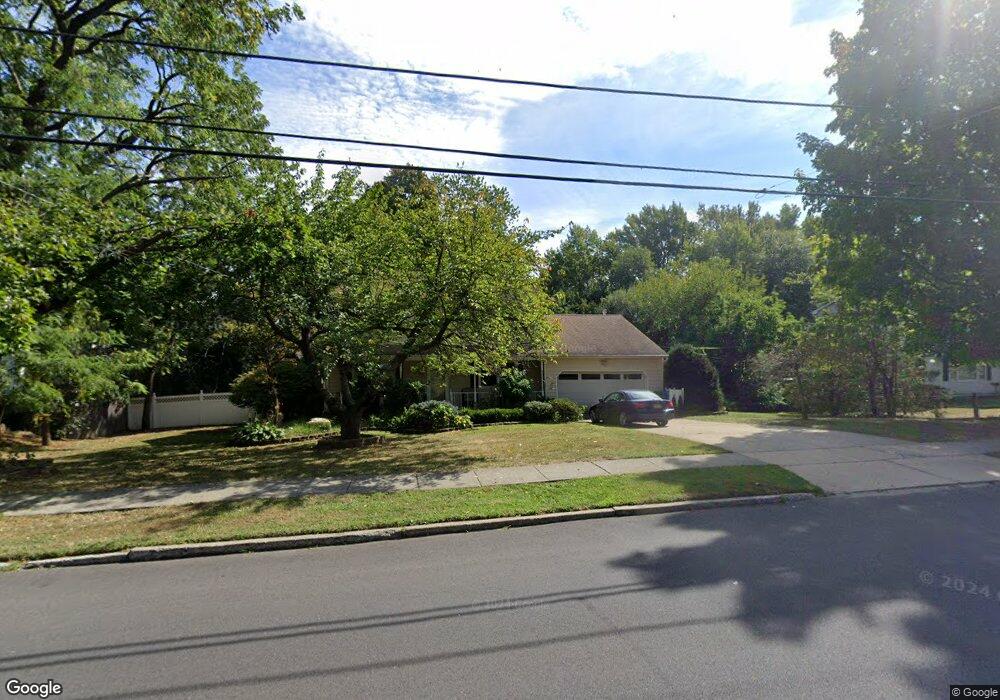
283 Harmony Rd Middletown, NJ 07748
New Monmouth NeighborhoodEstimated Value: $777,208 - $875,000
4
Beds
3
Baths
1,878
Sq Ft
$435/Sq Ft
Est. Value
About This Home
This home is located at 283 Harmony Rd, Middletown, NJ 07748 and is currently estimated at $816,302, approximately $434 per square foot. 283 Harmony Rd is a home located in Monmouth County with nearby schools including Harmony Elementary School, Thorne Middle School, and Middletown High School North.
Ownership History
Date
Name
Owned For
Owner Type
Purchase Details
Closed on
Sep 15, 2021
Sold by
Brown John R and Estate Of Patricia G Brown
Bought by
Brown John R and Brown Ruby Kate
Current Estimated Value
Purchase Details
Closed on
Jul 18, 2006
Sold by
Brown John R
Bought by
Brown Patricia G
Create a Home Valuation Report for This Property
The Home Valuation Report is an in-depth analysis detailing your home's value as well as a comparison with similar homes in the area
Home Values in the Area
Average Home Value in this Area
Purchase History
| Date | Buyer | Sale Price | Title Company |
|---|---|---|---|
| Brown John R | -- | None Available | |
| Brown Patricia G | -- | -- |
Source: Public Records
Tax History
| Year | Tax Paid | Tax Assessment Tax Assessment Total Assessment is a certain percentage of the fair market value that is determined by local assessors to be the total taxable value of land and additions on the property. | Land | Improvement |
|---|---|---|---|---|
| 2025 | $11,614 | $786,800 | $382,500 | $404,300 |
| 2024 | $10,425 | $706,000 | $309,100 | $396,900 |
| 2023 | $10,425 | $599,800 | $266,700 | $333,100 |
| 2022 | $10,418 | $539,800 | $222,700 | $317,100 |
| 2021 | $10,418 | $500,900 | $223,100 | $277,800 |
| 2020 | $10,348 | $484,000 | $212,500 | $271,500 |
| 2019 | $10,262 | $485,900 | $212,500 | $273,400 |
| 2018 | $10,252 | $473,100 | $212,500 | $260,600 |
| 2017 | $9,787 | $447,100 | $191,300 | $255,800 |
| 2016 | $8,925 | $418,800 | $191,300 | $227,500 |
| 2015 | $9,197 | $416,700 | $191,300 | $225,400 |
| 2014 | $8,799 | $388,800 | $182,800 | $206,000 |
Source: Public Records
Map
Nearby Homes
- 42 Bonnie Dr
- 34 Michele Dr
- 20 Hutchinson Dr
- 901 Palmer Ave
- 424 Middlewood Rd Unit 424
- 22 Mercer Ave
- 42 Hialeah Ave
- 375 Middlewood Rd
- 14 Ambrose Ln
- 13 Arthur Place
- 624 Hudson Ave
- 19 Avenue A
- 17 Avenue A
- 17 Avenue A Unit 99
- 248 Main St
- 9 Avenue A
- 18 Avenue A Unit 98
- 14 Avenue A Unit 102
- 8a Avenue A Unit 108
- 8a Avenue A
Your Personal Tour Guide
Ask me questions while you tour the home.