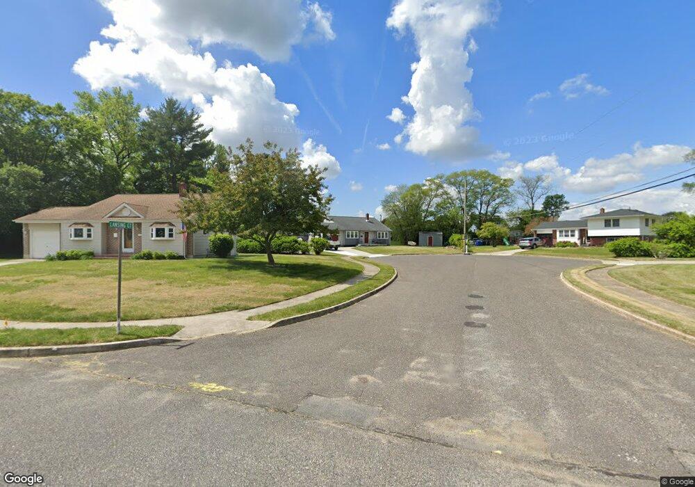
283 Lansing Ct Mantua, NJ 08051
Mantua Township NeighborhoodEstimated Value: $300,145 - $370,000
--
Bed
--
Bath
1,510
Sq Ft
$224/Sq Ft
Est. Value
About This Home
This home is located at 283 Lansing Ct, Mantua, NJ 08051 and is currently estimated at $337,536, approximately $223 per square foot. 283 Lansing Ct is a home located in Gloucester County with nearby schools including Centre City School, Clearview Regional Middle School, and Clearview Regional High School.
Ownership History
Date
Name
Owned For
Owner Type
Purchase Details
Closed on
Sep 30, 2013
Sold by
Bruner Howard W
Bought by
Bruner Howard W and Bruner Dorothy A
Current Estimated Value
Purchase Details
Closed on
Jan 31, 2008
Sold by
Bruner Howard and Bruner Caterhine
Bought by
Bruner Howard W
Home Financials for this Owner
Home Financials are based on the most recent Mortgage that was taken out on this home.
Original Mortgage
$160,000
Interest Rate
5.8%
Mortgage Type
Purchase Money Mortgage
Purchase Details
Closed on
Apr 7, 2003
Sold by
Mcconville Michael and Mcconville Kristine
Bought by
Bruner Howard and Bruner Catherine
Home Financials for this Owner
Home Financials are based on the most recent Mortgage that was taken out on this home.
Original Mortgage
$121,600
Interest Rate
5.75%
Mortgage Type
Purchase Money Mortgage
Purchase Details
Closed on
Nov 11, 2002
Sold by
Herquet George A and Estate Of George A Herquet
Bought by
Mcconville Michael
Create a Home Valuation Report for This Property
The Home Valuation Report is an in-depth analysis detailing your home's value as well as a comparison with similar homes in the area
Home Values in the Area
Average Home Value in this Area
Purchase History
| Date | Buyer | Sale Price | Title Company |
|---|---|---|---|
| Bruner Howard W | -- | -- | |
| Bruner Howard W | $200,000 | Landguard Title Services Llc | |
| Bruner Howard | $152,000 | Congress | |
| Mcconville Michael | $65,500 | Continental Title |
Source: Public Records
Mortgage History
| Date | Status | Borrower | Loan Amount |
|---|---|---|---|
| Previous Owner | Bruner Howard W | $160,000 | |
| Previous Owner | Bruner Howard | $121,600 |
Source: Public Records
Tax History Compared to Growth
Tax History
| Year | Tax Paid | Tax Assessment Tax Assessment Total Assessment is a certain percentage of the fair market value that is determined by local assessors to be the total taxable value of land and additions on the property. | Land | Improvement |
|---|---|---|---|---|
| 2025 | $6,301 | $244,700 | $79,900 | $164,800 |
| 2024 | $6,235 | $244,700 | $79,900 | $164,800 |
| 2023 | $6,235 | $244,700 | $79,900 | $164,800 |
| 2022 | $5,604 | $160,200 | $53,300 | $106,900 |
| 2021 | $5,645 | $160,200 | $53,300 | $106,900 |
| 2020 | $5,601 | $160,200 | $53,300 | $106,900 |
| 2019 | $5,506 | $160,200 | $53,300 | $106,900 |
| 2018 | $5,428 | $160,200 | $53,300 | $106,900 |
| 2017 | $5,346 | $160,200 | $53,300 | $106,900 |
| 2016 | $5,285 | $160,200 | $53,300 | $106,900 |
| 2015 | $5,155 | $160,200 | $53,300 | $106,900 |
| 2014 | $4,982 | $160,200 | $53,300 | $106,900 |
Source: Public Records
Map
Nearby Homes
- 284 Columbus Dr
- 17 Oakton Dr
- 333 Jackson Rd
- 41 Woodbrook Dr Unit C041
- 26 Woodstream Ct
- 290 Montgomery Dr
- 590 Bridgeton Pike
- 119 Monroe Ave
- 485 Harrison Ave
- 36 Bluebird Rd
- 204 W Landing Rd
- 380 Heritage Rd
- 325 Bridgeton Pike
- 190 Mockingbird Ln
- 261 Tony Cir
- 155 Whippoorwill Way
- 1433 Tristram Cir
- 8 Barry Dr
- 19 Marathon Dr
- 131 Firth Dr
- 287 Lansing Dr
- 276 Columbus Dr
- 279 Lansing Ct
- 272 Columbus Dr
- 291 Lansing Ct
- 275 Lansing Dr
- 295 Lansing Dr
- 268 Columbus Dr
- 288 Columbus Dr
- 271 Lansing Dr
- 299 Lansing Dr
- 282 Lansing Dr
- 264 Columbus Dr
- 292 Columbus Dr
- 278 Lansing Dr
- 615 Pierre Ave
- 286 Lansing Dr
- 617 Pierre Ave
- 613 Pierre Ave
- 291 Columbus Dr