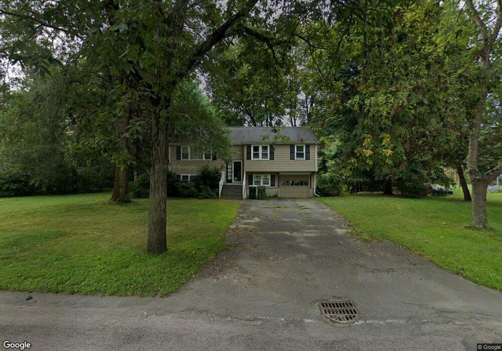
283 Orchard St Millis, MA 02054
Estimated Value: $536,593 - $612,000
3
Beds
2
Baths
1,012
Sq Ft
$564/Sq Ft
Est. Value
About This Home
This home is located at 283 Orchard St, Millis, MA 02054 and is currently estimated at $571,148, approximately $564 per square foot. 283 Orchard St is a home located in Norfolk County with nearby schools including Clyde F Brown, Millis Middle School, and Millis High School.
Ownership History
Date
Name
Owned For
Owner Type
Purchase Details
Closed on
Feb 15, 2007
Sold by
Curtis Scott K
Bought by
Rowean David P
Current Estimated Value
Home Financials for this Owner
Home Financials are based on the most recent Mortgage that was taken out on this home.
Original Mortgage
$229,000
Outstanding Balance
$137,770
Interest Rate
6.24%
Mortgage Type
Purchase Money Mortgage
Estimated Equity
$433,378
Purchase Details
Closed on
Aug 15, 1991
Sold by
Page Edward C
Bought by
Curtis Scott K
Home Financials for this Owner
Home Financials are based on the most recent Mortgage that was taken out on this home.
Original Mortgage
$96,500
Interest Rate
9.56%
Mortgage Type
Purchase Money Mortgage
Purchase Details
Closed on
May 22, 1989
Sold by
Spalding Douglas P
Bought by
Page Edward C
Create a Home Valuation Report for This Property
The Home Valuation Report is an in-depth analysis detailing your home's value as well as a comparison with similar homes in the area
Home Values in the Area
Average Home Value in this Area
Purchase History
| Date | Buyer | Sale Price | Title Company |
|---|---|---|---|
| Rowean David P | $310,900 | -- | |
| Curtis Scott K | $145,000 | -- | |
| Page Edward C | $171,500 | -- |
Source: Public Records
Mortgage History
| Date | Status | Borrower | Loan Amount |
|---|---|---|---|
| Open | Rowean David P | $229,000 | |
| Previous Owner | Page Edward C | $105,000 | |
| Previous Owner | Page Edward C | $95,000 | |
| Previous Owner | Page Edward C | $96,500 |
Source: Public Records
Tax History Compared to Growth
Tax History
| Year | Tax Paid | Tax Assessment Tax Assessment Total Assessment is a certain percentage of the fair market value that is determined by local assessors to be the total taxable value of land and additions on the property. | Land | Improvement |
|---|---|---|---|---|
| 2025 | $7,103 | $433,100 | $187,600 | $245,500 |
| 2024 | $7,207 | $438,900 | $187,600 | $251,300 |
| 2023 | $7,057 | $403,500 | $163,200 | $240,300 |
| 2022 | $6,812 | $360,800 | $163,200 | $197,600 |
| 2021 | $6,757 | $344,400 | $163,200 | $181,200 |
| 2020 | $6,475 | $321,500 | $152,500 | $169,000 |
| 2019 | $5,844 | $312,500 | $143,500 | $169,000 |
| 2018 | $5,397 | $299,500 | $130,500 | $169,000 |
| 2017 | $5,349 | $290,400 | $135,000 | $155,400 |
| 2016 | $5,065 | $290,400 | $135,000 | $155,400 |
| 2015 | $4,830 | $284,100 | $135,000 | $149,100 |
Source: Public Records
Map
Nearby Homes
- 6 Rivendell Ln
- 210 Causeway St
- 324 Union St Unit 6
- 27 Pollard Dr
- 50 Walnut St
- 9 Bogastow Cir
- 2 Towne Lyne Rd
- 22 May Rd
- 2 April Way
- 6 April Way
- 10 April Way
- 21 Spywood Rd
- 27 Spywood Rd
- 1380 Main St
- 6 Glen Ellen Blvd Unit 6
- 54 Spywood Rd
- 20 Lansing Way Unit 20
- 18 Lansing Way Unit 18
- 00000 S Main St and Bullard St
- 38 Bullard St
- 279 Orchard St
- 285 Orchard St
- 280 Orchard St
- 284 Orchard St
- 277 Orchard St
- 278 Orchard St
- 274 Orchard St
- 288 Orchard St
- 10 Middlesex St
- 275 Orchard St
- 292 Orchard St Unit 292
- 272 Orchard St
- 9 Middlesex St
- 268 Orchard St
- 11 Middlesex St
- 294 Orchard St
- 265 Orchard St
- 266 Orchard St
- 15 Middlesex St
- 300 Orchard St