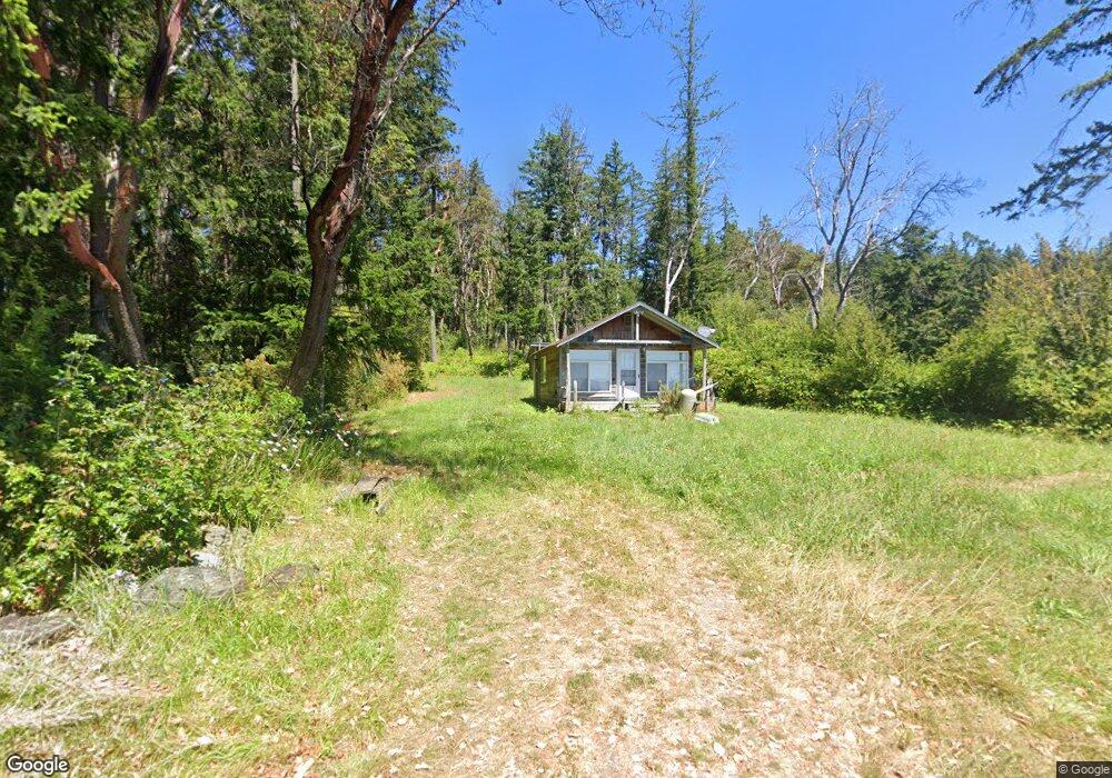
283 S Barnum Rd Camano, WA 98282
Estimated Value: $546,000 - $606,610
1
Bed
1
Bath
360
Sq Ft
$1,578/Sq Ft
Est. Value
About This Home
This home is located at 283 S Barnum Rd, Camano, WA 98282 and is currently estimated at $568,153, approximately $1,578 per square foot. 283 S Barnum Rd is a home located in Island County with nearby schools including Utsalady Elementary School, Port Susan Middle School, and Stanwood High School.
Ownership History
Date
Name
Owned For
Owner Type
Purchase Details
Closed on
Apr 24, 2023
Sold by
Vo Nhan and Vo Dieu
Bought by
Stillaguamish Tribe Of Indians
Current Estimated Value
Purchase Details
Closed on
Feb 24, 2020
Sold by
Bergman Charles A and Mann Susan M
Bought by
Vo Nhan and Dieu Nguyen
Purchase Details
Closed on
Jul 19, 2016
Sold by
Palmer Mark L and Palmer Teresa K
Bought by
Mann Susan M and Bergman Charles A
Purchase Details
Closed on
Oct 15, 2007
Sold by
Neaville Elizabeth C
Bought by
Palmer Mark L and Palmer Teresa K
Home Financials for this Owner
Home Financials are based on the most recent Mortgage that was taken out on this home.
Original Mortgage
$160,000
Interest Rate
6.42%
Mortgage Type
Purchase Money Mortgage
Create a Home Valuation Report for This Property
The Home Valuation Report is an in-depth analysis detailing your home's value as well as a comparison with similar homes in the area
Home Values in the Area
Average Home Value in this Area
Purchase History
| Date | Buyer | Sale Price | Title Company |
|---|---|---|---|
| Stillaguamish Tribe Of Indians | -- | Chicago Title | |
| Vo Nhan | $329,000 | Land T&E Of Island Co | |
| Mann Susan M | $35,280 | None Available | |
| Palmer Mark L | $200,000 | Pacific Northwest Title Comp |
Source: Public Records
Mortgage History
| Date | Status | Borrower | Loan Amount |
|---|---|---|---|
| Previous Owner | Palmer Mark L | $160,000 |
Source: Public Records
Tax History Compared to Growth
Tax History
| Year | Tax Paid | Tax Assessment Tax Assessment Total Assessment is a certain percentage of the fair market value that is determined by local assessors to be the total taxable value of land and additions on the property. | Land | Improvement |
|---|---|---|---|---|
| 2024 | $3,559 | $462,628 | $390,000 | $72,628 |
| 2023 | $3,559 | $453,633 | $380,000 | $73,633 |
| 2022 | $2,912 | $407,588 | $340,000 | $67,588 |
| 2021 | $2,886 | $305,487 | $240,000 | $65,487 |
| 2020 | $2,927 | $293,515 | $230,000 | $63,515 |
| 2019 | $2,631 | $294,142 | $250,000 | $44,142 |
| 2018 | $2,598 | $264,286 | $220,000 | $44,286 |
| 2017 | $1,737 | $241,843 | $200,000 | $41,843 |
| 2016 | $1,260 | $176,125 | $135,000 | $41,125 |
| 2015 | $1,287 | $120,000 | $85,000 | $35,000 |
| 2013 | -- | $120,000 | $85,000 | $35,000 |
Source: Public Records
Map
Nearby Homes
- 289 E Driftwood Shores Rd
- 244 David St
- 245 David St
- 446 Lehman Dr
- 169 Driftwood Shores Rd
- 501 S Vesper Way
- 230 Rocky Mountain High Rd
- 0 E Shumway Rd
- 230 Heather Dr
- 251 Goodrich Rd
- 335 Heather Dr
- 269 E Lochwood Dr
- 355 Selkirk Dr
- 362 N Sunrise Blvd
- 302 Melrose Dr
- 979 Cavalero Rd
- 881 Lawson Rd
- 105 N Sunrise Blvd
- 1005 Cavalero Rd
- 474 Stirling Dr