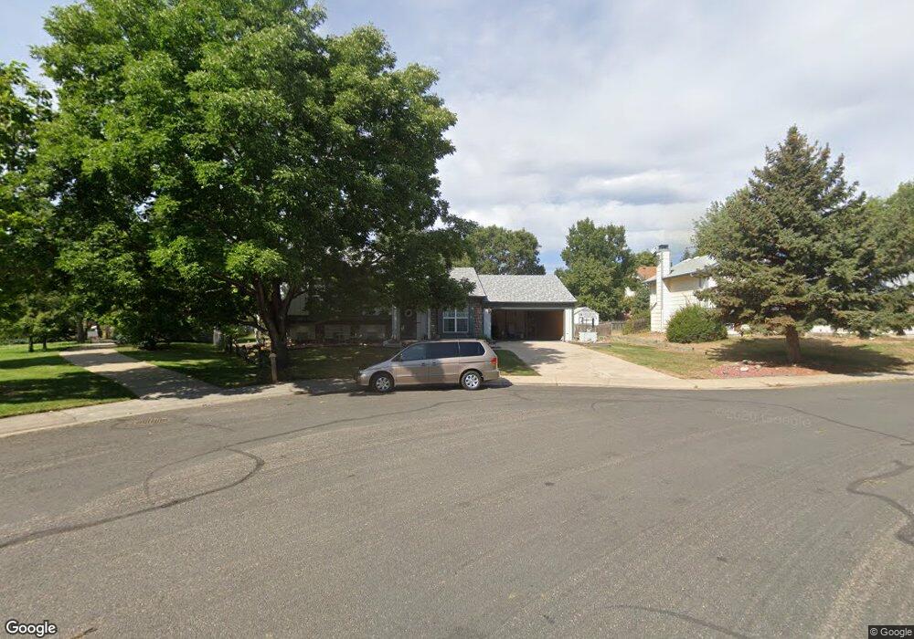
283 S Buchanan Cir Louisville, CO 80027
Estimated Value: $728,000 - $813,000
3
Beds
2
Baths
1,188
Sq Ft
$651/Sq Ft
Est. Value
About This Home
This home is located at 283 S Buchanan Cir, Louisville, CO 80027 and is currently estimated at $773,339, approximately $650 per square foot. 283 S Buchanan Cir is a home located in Boulder County with nearby schools including Fireside Elementary School, Monarch K-8 School, and Monarch High School.
Ownership History
Date
Name
Owned For
Owner Type
Purchase Details
Closed on
Dec 31, 1993
Sold by
Mclendon John B and Mclendon Jacqueline A
Bought by
Newton James L
Current Estimated Value
Home Financials for this Owner
Home Financials are based on the most recent Mortgage that was taken out on this home.
Original Mortgage
$116,000
Interest Rate
6.5%
Purchase Details
Closed on
Apr 3, 1987
Bought by
Newton James L and Newton Sheila A
Purchase Details
Closed on
Sep 21, 1983
Bought by
Newton James L and Newton Sheila A
Purchase Details
Closed on
May 10, 1983
Bought by
Newton James L and Newton Sheila A
Create a Home Valuation Report for This Property
The Home Valuation Report is an in-depth analysis detailing your home's value as well as a comparison with similar homes in the area
Home Values in the Area
Average Home Value in this Area
Purchase History
| Date | Buyer | Sale Price | Title Company |
|---|---|---|---|
| Newton James L | $145,000 | -- | |
| Newton James L | -- | -- | |
| Newton James L | $92,500 | -- | |
| Newton James L | -- | -- |
Source: Public Records
Mortgage History
| Date | Status | Borrower | Loan Amount |
|---|---|---|---|
| Closed | Newton James L | $116,000 |
Source: Public Records
Tax History Compared to Growth
Tax History
| Year | Tax Paid | Tax Assessment Tax Assessment Total Assessment is a certain percentage of the fair market value that is determined by local assessors to be the total taxable value of land and additions on the property. | Land | Improvement |
|---|---|---|---|---|
| 2025 | $3,827 | $50,157 | $22,044 | $28,113 |
| 2024 | $3,827 | $50,157 | $22,044 | $28,113 |
| 2023 | $3,762 | $49,279 | $23,343 | $29,621 |
| 2022 | $2,833 | $36,384 | $16,604 | $19,780 |
| 2021 | $3,189 | $41,584 | $18,976 | $22,608 |
| 2020 | $2,885 | $37,981 | $15,373 | $22,608 |
| 2019 | $2,844 | $37,981 | $15,373 | $22,608 |
| 2018 | $2,163 | $31,406 | $10,296 | $21,110 |
| 2017 | $2,120 | $34,722 | $11,383 | $23,339 |
| 2016 | $2,013 | $30,845 | $12,418 | $18,427 |
| 2015 | $1,908 | $26,459 | $14,567 | $11,892 |
| 2014 | $1,582 | $26,459 | $14,567 | $11,892 |
Source: Public Records
Map
Nearby Homes
- 641 W Dahlia St
- 284 S Taft Ct Unit 76
- 362 S Taft Ct Unit 108
- 279 S Taft Ct Unit 53
- 323 S Taft Ct Unit 26
- 305 S Taft Ct Unit 33
- 159 S Polk Ave
- 539 Coal Creek Ln
- 749 Apple Ct
- 567 Manorwood Ln
- 118 S Tanager Ct
- 590 Manorwood Ln N
- 203 Springs Dr
- 408 Fillmore Ct
- 322 Diamond Cir
- 812 W Mulberry St
- 546 Ridgeview Dr
- 494 Owl Dr Unit 4
- 572 Ridgeview Dr
- 291 W Sycamore Ln
- 271 S Buchanan Cir
- 619 W Juniper Ct
- 622 W Aspen Ct
- 603 W Aspen Ct
- 627 W Juniper Ct
- 281 S Buchanan Cir
- 265 S Buchanan Cir
- 296 S Buchanan Cir
- 636 W Aspen Ct
- 633 W Juniper Ct
- 294 S Buchanan Cir
- 279 S Buchanan Cir
- 259 S Buchanan Cir
- 262 S Buchanan Cir
- 625 W Aspen Ct
- 610 W Juniper Ct
- 620 W Juniper Ct
- 292 S Buchanan Cir
- 644 W Aspen Ct
- 647 W Juniper Ct