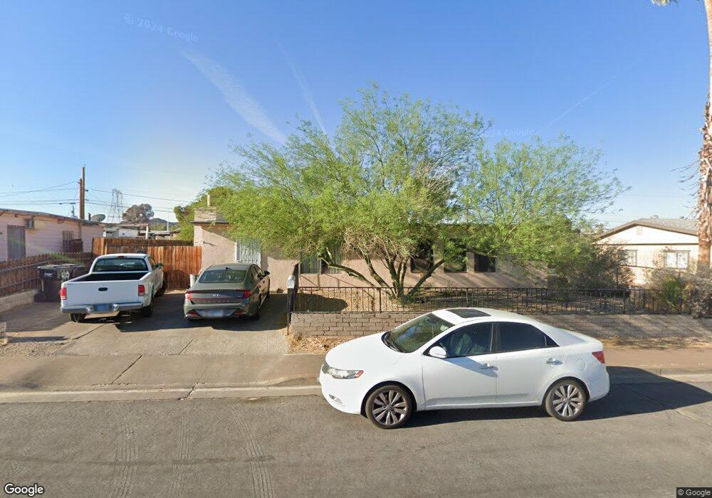
283 Tungsten St Henderson, NV 89015
Downtown Henderson NeighborhoodEstimated Value: $354,340 - $379,000
4
Beds
2
Baths
1,640
Sq Ft
$222/Sq Ft
Est. Value
About This Home
This home is located at 283 Tungsten St, Henderson, NV 89015 and is currently estimated at $363,585, approximately $221 per square foot. 283 Tungsten St is a home located in Clark County with nearby schools including Gordon Mccaw Elementary School, Robert L Taylor Elementary School, and Lyal Burkholder Middle School.
Ownership History
Date
Name
Owned For
Owner Type
Purchase Details
Closed on
Sep 25, 2008
Sold by
Rosa David C and Rosa Roberta E
Bought by
Pogue Cindy J and Glunt Richard J
Current Estimated Value
Home Financials for this Owner
Home Financials are based on the most recent Mortgage that was taken out on this home.
Original Mortgage
$158,304
Outstanding Balance
$105,571
Interest Rate
6.49%
Mortgage Type
FHA
Estimated Equity
$258,014
Create a Home Valuation Report for This Property
The Home Valuation Report is an in-depth analysis detailing your home's value as well as a comparison with similar homes in the area
Home Values in the Area
Average Home Value in this Area
Purchase History
| Date | Buyer | Sale Price | Title Company |
|---|---|---|---|
| Pogue Cindy J | $160,000 | Chicago Title The Pointe |
Source: Public Records
Mortgage History
| Date | Status | Borrower | Loan Amount |
|---|---|---|---|
| Open | Pogue Cindy J | $158,304 |
Source: Public Records
Tax History Compared to Growth
Tax History
| Year | Tax Paid | Tax Assessment Tax Assessment Total Assessment is a certain percentage of the fair market value that is determined by local assessors to be the total taxable value of land and additions on the property. | Land | Improvement |
|---|---|---|---|---|
| 2025 | $558 | $45,124 | $24,255 | $20,869 |
| 2024 | $543 | $45,124 | $24,255 | $20,869 |
| 2023 | $543 | $44,720 | $25,795 | $18,925 |
| 2022 | $527 | $39,216 | $22,330 | $16,886 |
| 2021 | $512 | $38,028 | $22,330 | $15,698 |
| 2020 | $494 | $35,272 | $20,020 | $15,252 |
| 2019 | $479 | $29,340 | $14,630 | $14,710 |
| 2018 | $465 | $28,421 | $14,630 | $13,791 |
| 2017 | $731 | $25,218 | $11,550 | $13,668 |
| 2016 | $442 | $21,315 | $7,350 | $13,965 |
| 2015 | $440 | $18,424 | $4,900 | $13,524 |
| 2014 | $427 | $14,300 | $4,900 | $9,400 |
Source: Public Records
Map
Nearby Homes
- 211 W Atlantic Ave
- 126 Magnesium St
- 206 W Atlantic Ave
- 335 W Basic Rd
- 203 W Pacific Ave
- 27 Magnesium St
- 116 W Victory Rd
- 111 E van Wagenen St
- 211 Viewmont Dr
- 139 E van Wagenen St
- 240 W Fairway Rd
- 130 W Fairway Rd
- 0 None Unit 2690079
- 15 Washington Way
- 379 Morgan Crest Dr
- 357 Powell Crest Dr
- 275 Shasta Crest Ave
- 375 Morgan Crest Dr
- 285 Shasta Crest Ave
- 1 S Water St
- 279 Tungsten St
- 287 Tungsten St
- 275 Tungsten St
- 291 Tungsten St
- 282 W Basic Rd
- 286 W Basic Rd
- 278 W Basic Rd
- 278 Tungsten St
- 282 Tungsten St
- 290 W Basic Rd
- 271 Tungsten St
- 271 Tungsten St
- 286 Tungsten St
- 274 Tungsten St
- 274 W Basic Rd
- 274 W Basic Rd Unit B
- 274 W Basic Rd Unit A
- 274 W Basic Rd Unit C
- 270 Tungsten St Unit Front
- 270 Tungsten St Unit none