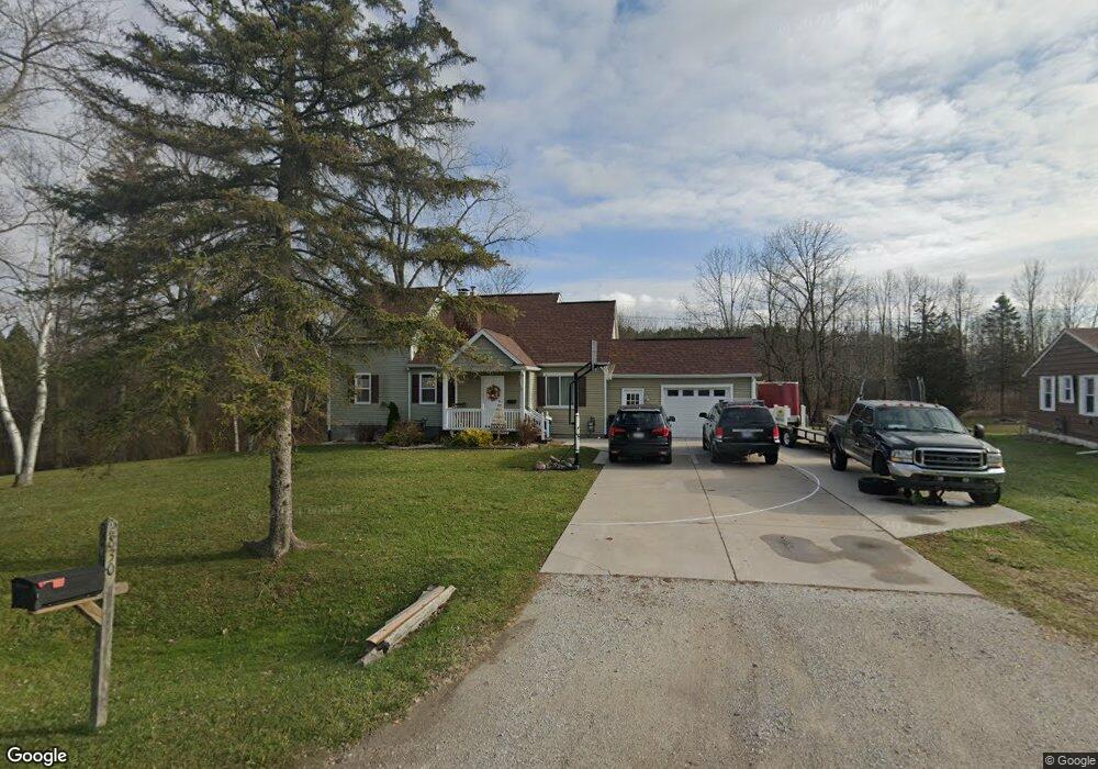
2830 Maywood Dr Port Huron, MI 48060
Estimated Value: $282,000 - $323,000
4
Beds
4
Baths
2,151
Sq Ft
$139/Sq Ft
Est. Value
About This Home
This home is located at 2830 Maywood Dr, Port Huron, MI 48060 and is currently estimated at $299,212, approximately $139 per square foot. 2830 Maywood Dr is a home with nearby schools including Michigamme Elementary School, Central Middle School, and Port Huron High School.
Ownership History
Date
Name
Owned For
Owner Type
Purchase Details
Closed on
Sep 6, 2017
Sold by
Haufschild Enterprises 5 Llc
Bought by
Haufshild Pamela
Current Estimated Value
Purchase Details
Closed on
Oct 31, 2016
Sold by
May Wilkinson Llc
Bought by
Haufschild Enterprises 5 Llc
Purchase Details
Closed on
Dec 23, 2015
Sold by
May Wilkinson Llc
Bought by
May Wilkinson Llc and Cleland Eonald E
Purchase Details
Closed on
Nov 16, 2011
Sold by
May Donald and May Eleanor E
Bought by
May Wilkinson Llc
Purchase Details
Closed on
Oct 27, 2011
Sold by
The Michigan Department Of Transportatio
Bought by
May Donald and Wilkinson Randall
Purchase Details
Closed on
Jan 24, 2006
Sold by
Henderson Robert J and Henderson Darlene D
Bought by
Michigan Department Of Transportation
Create a Home Valuation Report for This Property
The Home Valuation Report is an in-depth analysis detailing your home's value as well as a comparison with similar homes in the area
Home Values in the Area
Average Home Value in this Area
Purchase History
| Date | Buyer | Sale Price | Title Company |
|---|---|---|---|
| Haufshild Pamela | -- | -- | |
| Haufschild Enterprises 5 Llc | $25,000 | Marttime Title | |
| May Wilkinson Llc | $133 | -- | |
| May Wilkinson Llc | -- | None Available | |
| May Donald | $20,000 | None Available | |
| Michigan Department Of Transportation | $185,000 | None Available |
Source: Public Records
Tax History Compared to Growth
Tax History
| Year | Tax Paid | Tax Assessment Tax Assessment Total Assessment is a certain percentage of the fair market value that is determined by local assessors to be the total taxable value of land and additions on the property. | Land | Improvement |
|---|---|---|---|---|
| 2025 | $3,059 | $131,300 | $0 | $0 |
| 2024 | $1,610 | $129,800 | $0 | $0 |
| 2023 | $1,485 | $118,600 | $0 | $0 |
| 2022 | $2,745 | $95,400 | $0 | $0 |
| 2021 | $2,513 | $89,500 | $0 | $0 |
| 2020 | $2,513 | $82,400 | $82,400 | $0 |
| 2019 | $2,466 | $54,200 | $0 | $0 |
| 2018 | $2,633 | $54,200 | $0 | $0 |
| 2017 | $2,793 | $29,800 | $0 | $0 |
| 2016 | $755 | $29,800 | $0 | $0 |
| 2015 | -- | $39,700 | $29,000 | $10,700 |
| 2014 | -- | $38,800 | $29,000 | $9,800 |
| 2013 | -- | $37,200 | $0 | $0 |
Source: Public Records
Map
Nearby Homes
- 3084 Aberdeen Ct
- 2940 Westland Dr
- 2301 Water St
- 3408 N Burwick Dr
- 3409 Ancient Dr
- 2610 Strawberry Ln
- 00 Campau Ave
- 2838 Elmwood St
- 2566 Lewis Dr
- 2549 Riverwood Dr
- V/L #6 Water St
- V/L #3 Water St
- V/L #8 Water St
- V/L #4 Water St
- V/L #5 Water St
- 2636 Locust St
- 2658 Michigan Rd
- 146 Taylor St
- 2527 Spruce St
- 3196 Oakwood Dr
- 2826 Maywood Dr
- 2802 Maywood Dr
- 2809 Maywood Dr
- 0 Maywood Dr
- 0 Maywood Dr Unit 215118171
- 2790 Maywood Dr
- 2836 Maywood Dr
- 2793 Maywood Dr
- 2780 Maywood Dr
- 2865 Maywood Dr
- 2803 Maywood Dr
- 2775 Maywood Dr
- 2771 Maywood Dr
- 2956 Maywood Dr
- 2951 Maywood Dr
- 2966 Maywood Dr
- 2955 Maywood Dr
- 2976 Maywood Dr
- 2971 Maywood Dr
- 2986 Maywood Dr