2830 Welshtown Rd Slatington, PA 18080
Washington Township NeighborhoodEstimated Value: $399,000 - $519,000
3
Beds
2
Baths
1,816
Sq Ft
$242/Sq Ft
Est. Value
About This Home
This home is located at 2830 Welshtown Rd, Slatington, PA 18080 and is currently estimated at $439,221, approximately $241 per square foot. 2830 Welshtown Rd is a home located in Lehigh County with nearby schools including Deep Creek Central Elementary School, Grassfield Elementary School, and Slatington Elementary School.
Ownership History
Date
Name
Owned For
Owner Type
Purchase Details
Closed on
Sep 30, 2009
Sold by
Edwards David L
Bought by
Snyder Scott E
Current Estimated Value
Home Financials for this Owner
Home Financials are based on the most recent Mortgage that was taken out on this home.
Original Mortgage
$336,000
Outstanding Balance
$219,850
Interest Rate
5.12%
Mortgage Type
New Conventional
Estimated Equity
$219,371
Purchase Details
Closed on
Oct 29, 1986
Sold by
Edwards David L and Moser Ann F
Bought by
Edwards David L and Edwards Ann F
Purchase Details
Closed on
Jul 1, 1983
Sold by
Moser Ann F
Bought by
Edwards David L and Moser Ann F
Purchase Details
Closed on
Dec 29, 1980
Bought by
Moser Ann F
Create a Home Valuation Report for This Property
The Home Valuation Report is an in-depth analysis detailing your home's value as well as a comparison with similar homes in the area
Home Values in the Area
Average Home Value in this Area
Purchase History
| Date | Buyer | Sale Price | Title Company |
|---|---|---|---|
| Snyder Scott E | $420,000 | -- | |
| Edwards David L | -- | -- | |
| Edwards David L | $5,000 | -- | |
| Moser Ann F | -- | -- |
Source: Public Records
Mortgage History
| Date | Status | Borrower | Loan Amount |
|---|---|---|---|
| Open | Snyder Scott E | $336,000 |
Source: Public Records
Tax History Compared to Growth
Tax History
| Year | Tax Paid | Tax Assessment Tax Assessment Total Assessment is a certain percentage of the fair market value that is determined by local assessors to be the total taxable value of land and additions on the property. | Land | Improvement |
|---|---|---|---|---|
| 2025 | $6,017 | $204,300 | $69,100 | $135,200 |
| 2024 | $5,914 | $204,300 | $69,100 | $135,200 |
| 2023 | $5,751 | $204,300 | $69,100 | $135,200 |
| 2022 | $5,648 | $204,300 | $135,200 | $69,100 |
| 2021 | $5,552 | $204,300 | $69,100 | $135,200 |
| 2020 | $5,433 | $204,300 | $69,100 | $135,200 |
| 2019 | $5,292 | $204,300 | $69,100 | $135,200 |
| 2018 | $5,165 | $204,300 | $69,100 | $135,200 |
| 2017 | $5,150 | $204,300 | $69,100 | $135,200 |
| 2016 | -- | $204,300 | $69,100 | $135,200 |
| 2015 | -- | $204,300 | $69,100 | $135,200 |
| 2014 | -- | $204,300 | $69,100 | $135,200 |
Source: Public Records
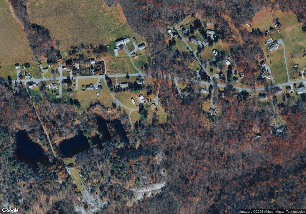
Map
Nearby Homes
- 2836 Welshtown Rd
- 2822 Welshtown Rd
- 2843 Welshtown Rd
- 2842 Welshtown Rd
- 2814 Welshtown Rd
- 2817 Welshtown Rd
- 2846 Welshtown Rd
- 2742 Welshtown Rd
- 2730 Welshtown Rd
- 2739 Welshtown Rd
- 2850 Welshtown Rd
- 8206 Armstrong Ln
- 2835 Welshtown Rd
- 8203 Armstrong Ln
- 2724 Welshtown Rd
- 8201 Armstrong Ln
- 8207 Armstrong Ln
- 2727 Welshtown Rd
- 2853 Welshtown Rd
- 2718 Welshtown Rd