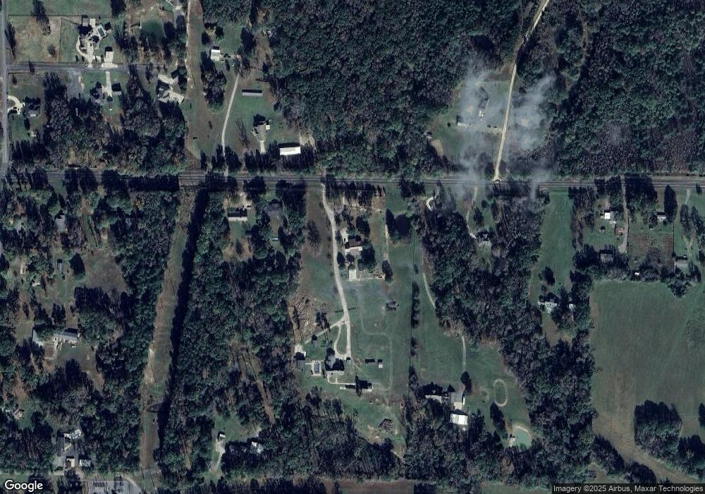
2831 Highway 321 E Austin, AR 72007
Estimated Value: $277,000 - $372,000
Studio
2
Baths
2,154
Sq Ft
$154/Sq Ft
Est. Value
About This Home
This home is located at 2831 Highway 321 E, Austin, AR 72007 and is currently estimated at $332,506, approximately $154 per square foot. 2831 Highway 321 E is a home located in Lonoke County with nearby schools including Southside Elementary School, Cabot Junior High South, and Cabot Middle School South.
Ownership History
Date
Name
Owned For
Owner Type
Purchase Details
Closed on
Jun 15, 2022
Sold by
Traci Ferguson
Bought by
Ferguson Traci
Current Estimated Value
Purchase Details
Closed on
Aug 11, 2008
Sold by
Ferguson Stacie Denise
Bought by
Mobbs Elizabeth Paige and Mobbs Wade A
Home Financials for this Owner
Home Financials are based on the most recent Mortgage that was taken out on this home.
Original Mortgage
$177,600
Interest Rate
6.42%
Create a Home Valuation Report for This Property
The Home Valuation Report is an in-depth analysis detailing your home's value as well as a comparison with similar homes in the area
Purchase History
| Date | Buyer | Sale Price | Title Company |
|---|---|---|---|
| Ferguson Traci | -- | Pulaski County Title | |
| Mobbs Elizabeth Paige | -- | -- |
Source: Public Records
Mortgage History
| Date | Status | Borrower | Loan Amount |
|---|---|---|---|
| Previous Owner | Mobbs Elizabeth Paige | $177,600 |
Source: Public Records
Tax History Compared to Growth
Tax History
| Year | Tax Paid | Tax Assessment Tax Assessment Total Assessment is a certain percentage of the fair market value that is determined by local assessors to be the total taxable value of land and additions on the property. | Land | Improvement |
|---|---|---|---|---|
| 2025 | $2,196 | $47,840 | $4,800 | $43,040 |
| 2024 | $2,196 | $47,840 | $4,800 | $43,040 |
| 2023 | $2,196 | $47,840 | $4,800 | $43,040 |
| 2022 | $2,015 | $44,000 | $4,800 | $39,200 |
| 2021 | $1,483 | $44,000 | $4,800 | $39,200 |
| 2020 | $1,201 | $34,340 | $3,600 | $30,740 |
| 2019 | $1,201 | $34,340 | $3,600 | $30,740 |
| 2018 | $1,226 | $34,340 | $3,600 | $30,740 |
| 2017 | $1,456 | $34,340 | $3,600 | $30,740 |
| 2016 | $1,226 | $34,340 | $3,600 | $30,740 |
| 2015 | $1,315 | $36,280 | $3,600 | $32,680 |
| 2014 | $1,315 | $36,280 | $3,600 | $32,680 |
Source: Public Records
Map
Nearby Homes
- 2 Elcan Dr
- 331 Holly Ln
- 343 N Windwood Heights
- 151 Hardester Dr
- 220 N Windwood Heights
- 4275 Campground Rd
- 215 & 225 Lemay Loop
- 3040 Campground Rd
- 75 Southwood Dr
- 365 Skinner Rd
- 20 Scheffler Cove
- 10 Scheffler Cove
- 75 Daly Dr
- 84 Windsong Dr
- 90 Windsong Cove
- 85 Sarah Alyse Ln
- 114 Bud Ford Cove
- 0 Windwood Dr
- 3709 Sandhill Rd
- 226 Shafer Trail
- 2821 Highway 321 E
- 2825 Highway 321 E
- 0 Ar Hwy 321 E Unit 16013320
- 0 Ar Hwy 321 E Unit 18004343
- 2811 Highway 321 E
- 2811 Highway 321 E
- 2781 Highway 321 E
- 2949 Highway 321 E
- 2954 Highway 321 E
- 2814 Highway 321 E
- 2945 Highway 321 E
- 3003 Highway 321 E
- 2820 Highway 321 E
- 2820 Highway 321 E
- 230 Substation Ln
- 103 Curry Ln
- 2743 Highway 321 E
- 3053 Highway 321 E
- 191 Hanson Dr
- 2741 Highway 321 E
