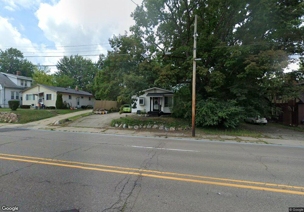
2832 Miller Rd Flint, MI 48503
Chevrolet NeighborhoodEstimated Value: $76,966 - $115,000
3
Beds
1
Bath
889
Sq Ft
$106/Sq Ft
Est. Value
About This Home
This home is located at 2832 Miller Rd, Flint, MI 48503 and is currently estimated at $94,242, approximately $106 per square foot. 2832 Miller Rd is a home located in Genesee County with nearby schools including Durant-Tuuri-Mott Elementary School, Flint Southwestern Classical Academy, and St. Paul Lutheran School.
Ownership History
Date
Name
Owned For
Owner Type
Purchase Details
Closed on
Mar 18, 2014
Sold by
Duckett Hall Janeen J
Bought by
Duckett Hall Janeen J and Duckett Christian A D
Current Estimated Value
Purchase Details
Closed on
Jun 19, 2013
Sold by
Duckett Ellis
Bought by
Duckett Hall Janeen J
Purchase Details
Closed on
Mar 27, 2006
Sold by
Duchett Ellis
Bought by
Duckett Ellis and Duckett Bernadine J
Purchase Details
Closed on
Nov 18, 2002
Sold by
Duckett Dr Bruce Devlon
Bought by
Duckett Ellis
Create a Home Valuation Report for This Property
The Home Valuation Report is an in-depth analysis detailing your home's value as well as a comparison with similar homes in the area
Home Values in the Area
Average Home Value in this Area
Purchase History
| Date | Buyer | Sale Price | Title Company |
|---|---|---|---|
| Duckett Hall Janeen J | -- | None Available | |
| Duckett Hall Janeen J | -- | None Available | |
| Duckett Ellis | -- | First American Title Ins Co | |
| Duckett Ellis | -- | First American Title Ins Co |
Source: Public Records
Tax History
| Year | Tax Paid | Tax Assessment Tax Assessment Total Assessment is a certain percentage of the fair market value that is determined by local assessors to be the total taxable value of land and additions on the property. | Land | Improvement |
|---|---|---|---|---|
| 2025 | $1,666 | $31,300 | $0 | $0 |
| 2024 | $1,532 | $29,400 | $0 | $0 |
| 2023 | $1,487 | $24,300 | $0 | $0 |
| 2022 | $0 | $21,700 | $0 | $0 |
| 2021 | $1,514 | $20,700 | $0 | $0 |
| 2020 | $1,380 | $20,000 | $0 | $0 |
| 2019 | $1,340 | $19,200 | $0 | $0 |
| 2018 | $1,357 | $19,800 | $0 | $0 |
| 2017 | $1,319 | $0 | $0 | $0 |
| 2016 | $1,309 | $0 | $0 | $0 |
| 2015 | -- | $0 | $0 | $0 |
| 2014 | -- | $0 | $0 | $0 |
| 2012 | -- | $19,000 | $0 | $0 |
Source: Public Records
Map
Nearby Homes
- 2729 Chicago Blvd
- 1555 Bradley Ave
- 3102 Westwood Pkwy
- 3205 Clairmont St
- 3310 Larchmont St
- 2618 Brown St
- 1114 Clancy Ave
- 3217 Arlene Ave
- 3317 Arlene Ave
- 3402 Brandon St
- 2537 Swayze St
- 2805 Reynolds St
- 1122 Stocker Ave
- 3510 Hogarth Ave
- 3506 Chicago Blvd
- 2433 Brown St
- 1308 Barney Ave
- 2509 Corunna Rd
- 1017 Stocker Ave
- 3413 Augusta St
Your Personal Tour Guide
Ask me questions while you tour the home.