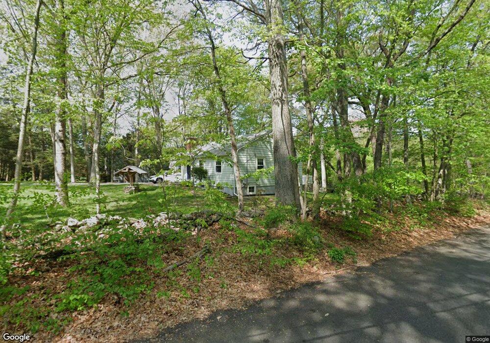
2832 North St Fairfield, CT 06824
Greenfield Hill NeighborhoodEstimated Value: $779,707 - $928,000
3
Beds
3
Baths
1,176
Sq Ft
$724/Sq Ft
Est. Value
About This Home
This home is located at 2832 North St, Fairfield, CT 06824 and is currently estimated at $850,927, approximately $723 per square foot. 2832 North St is a home located in Fairfield County with nearby schools including Burr Elementary School, Tomlinson Middle School, and Fairfield Warde High School.
Ownership History
Date
Name
Owned For
Owner Type
Purchase Details
Closed on
Apr 6, 2018
Sold by
Kay-Glover Cynthia
Bought by
Glover Ronald A and Kay-Glover Cynthia
Current Estimated Value
Purchase Details
Closed on
Sep 27, 1994
Sold by
Back Carl S
Bought by
Glover Ronald A and Glover Cynthia K
Purchase Details
Closed on
Jun 18, 1991
Sold by
Wade Janet L
Bought by
Back Carl S
Create a Home Valuation Report for This Property
The Home Valuation Report is an in-depth analysis detailing your home's value as well as a comparison with similar homes in the area
Home Values in the Area
Average Home Value in this Area
Purchase History
| Date | Buyer | Sale Price | Title Company |
|---|---|---|---|
| Glover Ronald A | -- | -- | |
| Glover Ronald A | -- | -- | |
| Glover Ronald A | $295,000 | -- | |
| Glover Ronald A | $295,000 | -- | |
| Back Carl S | $254,000 | -- |
Source: Public Records
Mortgage History
| Date | Status | Borrower | Loan Amount |
|---|---|---|---|
| Previous Owner | Back Carl S | $100,000 | |
| Previous Owner | Back Carl S | $100,000 |
Source: Public Records
Tax History Compared to Growth
Tax History
| Year | Tax Paid | Tax Assessment Tax Assessment Total Assessment is a certain percentage of the fair market value that is determined by local assessors to be the total taxable value of land and additions on the property. | Land | Improvement |
|---|---|---|---|---|
| 2025 | $9,460 | $333,200 | $272,930 | $60,270 |
| 2024 | $9,296 | $333,200 | $272,930 | $60,270 |
| 2023 | $9,166 | $333,200 | $272,930 | $60,270 |
| 2022 | $9,076 | $333,200 | $272,930 | $60,270 |
| 2021 | $8,990 | $333,200 | $272,930 | $60,270 |
| 2020 | $8,754 | $326,760 | $262,850 | $63,910 |
| 2019 | $8,754 | $326,760 | $262,850 | $63,910 |
| 2018 | $8,613 | $326,760 | $262,850 | $63,910 |
| 2017 | $8,437 | $326,760 | $262,850 | $63,910 |
| 2016 | $8,316 | $326,760 | $262,850 | $63,910 |
| 2015 | $8,475 | $341,880 | $291,410 | $50,470 |
| 2014 | $8,342 | $341,880 | $291,410 | $50,470 |
Source: Public Records
Map
Nearby Homes
- 2775 North St
- 100 E Common Rd
- 180 Catamount Rd
- 76 Burr St
- 111 & 115 Old Easton Turnpike
- 85-95 Old Easton Turnpike
- 80 Gilbert Hwy
- 158 Coventry Ln
- 4800 Congress St
- 22 Brett Rd
- 1375 Westport Turnpike
- 90 Redding Rd
- 102 11 O Clock Rd
- 2425 Merwins Ln
- 0 Old Easton Turnpike
- 3 Mayflower Ln
- 2281 Redding Rd
- 18 Hunt Ln
- 18 Cardinal Rd
- 342 Midlock Rd