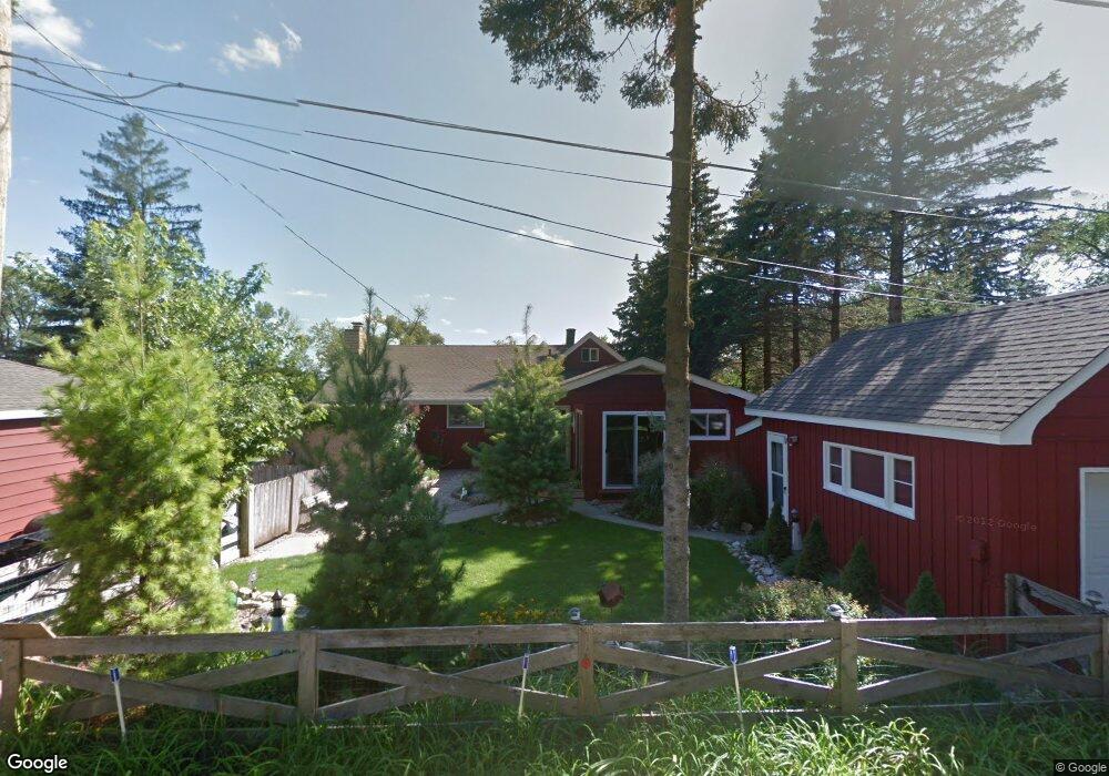
28323 W Stewart Ave Spring Grove, IL 60081
Northeast Fox Lake NeighborhoodEstimated Value: $391,000 - $440,000
4
Beds
2
Baths
1,810
Sq Ft
$227/Sq Ft
Est. Value
About This Home
This home is located at 28323 W Stewart Ave, Spring Grove, IL 60081 and is currently estimated at $410,910, approximately $227 per square foot. 28323 W Stewart Ave is a home located in Lake County with nearby schools including Lotus Elementary School, Stanton Middle School, and Grant Community High School.
Ownership History
Date
Name
Owned For
Owner Type
Purchase Details
Closed on
Jun 28, 2017
Sold by
Smith Michael E and Smith Dawn A
Bought by
Tinsley Stanley R and Tinsley Lorrie A
Current Estimated Value
Home Financials for this Owner
Home Financials are based on the most recent Mortgage that was taken out on this home.
Original Mortgage
$220,000
Outstanding Balance
$150,324
Interest Rate
3.94%
Mortgage Type
New Conventional
Estimated Equity
$260,586
Purchase Details
Closed on
Sep 27, 1996
Sold by
Bloenk Richard Thomas and Bloenk Mona M
Bought by
Smith Michael E and Smith Dawn A
Home Financials for this Owner
Home Financials are based on the most recent Mortgage that was taken out on this home.
Original Mortgage
$110,000
Interest Rate
8%
Create a Home Valuation Report for This Property
The Home Valuation Report is an in-depth analysis detailing your home's value as well as a comparison with similar homes in the area
Home Values in the Area
Average Home Value in this Area
Purchase History
| Date | Buyer | Sale Price | Title Company |
|---|---|---|---|
| Tinsley Stanley R | $275,000 | Chicago Title | |
| Smith Michael E | $190,000 | Greater Illinois Title Compa |
Source: Public Records
Mortgage History
| Date | Status | Borrower | Loan Amount |
|---|---|---|---|
| Open | Tinsley Stanley R | $220,000 | |
| Previous Owner | Smith Michael E | $110,000 |
Source: Public Records
Tax History Compared to Growth
Tax History
| Year | Tax Paid | Tax Assessment Tax Assessment Total Assessment is a certain percentage of the fair market value that is determined by local assessors to be the total taxable value of land and additions on the property. | Land | Improvement |
|---|---|---|---|---|
| 2024 | $7,752 | $117,048 | $15,247 | $101,801 |
| 2023 | $8,059 | $104,806 | $13,652 | $91,154 |
| 2022 | $8,059 | $103,244 | $14,346 | $88,898 |
| 2021 | $7,708 | $96,336 | $13,386 | $82,950 |
| 2020 | $7,575 | $93,675 | $13,016 | $80,659 |
| 2019 | $7,142 | $89,581 | $12,447 | $77,134 |
| 2018 | $6,658 | $91,354 | $14,036 | $77,318 |
| 2017 | $5,780 | $69,446 | $13,361 | $56,085 |
| 2016 | $6,165 | $67,020 | $12,894 | $54,126 |
| 2015 | $6,212 | $65,315 | $12,566 | $52,749 |
| 2014 | $6,279 | $68,925 | $15,590 | $53,335 |
| 2012 | $6,191 | $71,732 | $15,590 | $56,142 |
Source: Public Records
Map
Nearby Homes
- 38480 N 6th Ave
- 28624 W Kendall Ave
- 38236 N Lee Ave
- 37925 N Lake Vista Terrace
- 27849 W Lake Shore Dr
- 38227 N 3rd Ave
- 38265 N State Park Rd
- 61 Aspen Colony Unit 2
- 38581 N Hillandale Dr
- 13 Saint Thomas Colony Unit 7
- 56 Vail Colony Unit 5
- 53 Oak Hill Colony Unit 6
- 40 Bermuda Colony Unit 7
- 16 Saint Thomas Colony Unit 6
- 59 Vail Colony Unit 3
- 7108 Granada Ln Unit 280
- 37714 N Nippersink Place
- 7215 Viscaya Dr
- 37706 N Nippersink Place
- 37682 N US Highway 12
- 28301 W Stewart Ave
- 28289 W Stewart Ave
- 28277 W Stewart Ave
- 38370 N 11th St
- 28357 W Stewart Ave
- 38376 N 11th St
- 38377 N 11th St
- 28265 W Stewart Ave
- 28257 W Stewart Ave
- 38396 N 11th St
- 28247 W Stewart Ave
- 38410 N 11th St
- 38404 N 10th Ave
- 38350 N 9th St
- 28239 W Stewart Ave
- 38414 N 11th St
- 38420 N 11th St
- 38420 N 10th Ave
- 28231 W Stewart Ave
- 38374 N 9th St