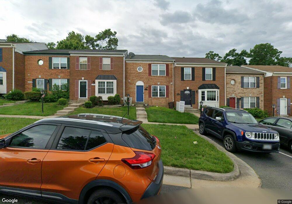
2833 Bowes Ln Woodbridge, VA 22193
Birchdale NeighborhoodEstimated Value: $408,000 - $444,000
3
Beds
2
Baths
1,380
Sq Ft
$306/Sq Ft
Est. Value
About This Home
This home is located at 2833 Bowes Ln, Woodbridge, VA 22193 and is currently estimated at $422,348, approximately $306 per square foot. 2833 Bowes Ln is a home located in Prince William County with nearby schools including Gar-Field High School, Dale City Elementary School, and George M. Hampton Middle School.
Ownership History
Date
Name
Owned For
Owner Type
Purchase Details
Closed on
Mar 23, 2021
Sold by
Timmer Kelly Ann and Timmer Kelly A
Bought by
Moriggi Amy Marie and Moriggi Erin Michelle
Current Estimated Value
Home Financials for this Owner
Home Financials are based on the most recent Mortgage that was taken out on this home.
Original Mortgage
$290,450
Outstanding Balance
$260,500
Interest Rate
2.73%
Mortgage Type
New Conventional
Estimated Equity
$161,848
Create a Home Valuation Report for This Property
The Home Valuation Report is an in-depth analysis detailing your home's value as well as a comparison with similar homes in the area
Home Values in the Area
Average Home Value in this Area
Purchase History
| Date | Buyer | Sale Price | Title Company |
|---|---|---|---|
| Moriggi Amy Marie | $300,000 | First American Title Ins Co |
Source: Public Records
Mortgage History
| Date | Status | Borrower | Loan Amount |
|---|---|---|---|
| Open | Moriggi Amy Marie | $290,450 |
Source: Public Records
Tax History Compared to Growth
Tax History
| Year | Tax Paid | Tax Assessment Tax Assessment Total Assessment is a certain percentage of the fair market value that is determined by local assessors to be the total taxable value of land and additions on the property. | Land | Improvement |
|---|---|---|---|---|
| 2025 | $3,758 | $400,600 | $102,700 | $297,900 |
| 2024 | $3,758 | $377,900 | $96,900 | $281,000 |
| 2023 | $3,637 | $349,500 | $88,900 | $260,600 |
| 2022 | $3,811 | $335,400 | $84,600 | $250,800 |
| 2021 | $3,570 | $290,400 | $73,000 | $217,400 |
| 2020 | $3,982 | $256,900 | $69,500 | $187,400 |
| 2019 | $3,900 | $251,600 | $86,400 | $165,200 |
| 2018 | $2,894 | $239,700 | $83,100 | $156,600 |
| 2017 | $2,812 | $225,400 | $77,600 | $147,800 |
| 2016 | $2,645 | $213,600 | $73,200 | $140,400 |
| 2015 | $2,389 | $215,000 | $73,200 | $141,800 |
| 2014 | $2,389 | $188,100 | $63,700 | $124,400 |
Source: Public Records
Map
Nearby Homes
- 14595 Charity Ct
- 14496 Aurora Dr
- 3017 Arkendale St
- 14809 Ashdale Ave
- 3206 Burbank Ln
- 14308 Belleville Ave
- 14404 Birchdale Ave
- 14413 Brook Dr
- 15019 Ashdale Cir
- 14717 Barksdale St
- 14184 Cuddy Loop Unit 101
- 14748 Barksdale St
- 14151 Cuddy Loop Unit 301
- 14154 Cuddy Loop Unit 102
- 14648 Bakersfield St
- 14657 Cloverdale Rd
- 2506 Neabsco Common Place
- 2636 Neabsco Common Place
- 14921 River Walk Way
- 2510 Neabsco Common Place