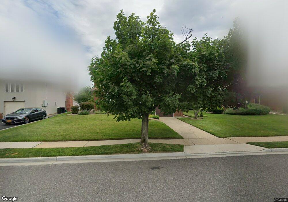
2833 Harbor Rd Merrick, NY 11566
Estimated Value: $906,000 - $948,126
3
Beds
3
Baths
1,335
Sq Ft
$694/Sq Ft
Est. Value
About This Home
This home is located at 2833 Harbor Rd, Merrick, NY 11566 and is currently estimated at $927,063, approximately $694 per square foot. 2833 Harbor Rd is a home located in Nassau County with nearby schools including Merrick Avenue Middle School, John F. Kennedy High School, and Grace Christian Academy.
Ownership History
Date
Name
Owned For
Owner Type
Purchase Details
Closed on
Jun 30, 2023
Sold by
Bracco Anthony
Bought by
Bracco Anthony and Bracco Stephanie
Current Estimated Value
Purchase Details
Closed on
Apr 30, 2021
Sold by
Nemser Kathy Sue and Nemser N
Bought by
Nemser Testamentary Trust and Bracco
Home Financials for this Owner
Home Financials are based on the most recent Mortgage that was taken out on this home.
Original Mortgage
$552,000
Interest Rate
2.9%
Mortgage Type
New Conventional
Purchase Details
Closed on
Mar 25, 2015
Sold by
Nemser Alan and Nemser Selma W
Bought by
Nemser Alan and Nemser Alan
Create a Home Valuation Report for This Property
The Home Valuation Report is an in-depth analysis detailing your home's value as well as a comparison with similar homes in the area
Home Values in the Area
Average Home Value in this Area
Purchase History
| Date | Buyer | Sale Price | Title Company |
|---|---|---|---|
| Bracco Anthony | -- | Judicial Title | |
| Bracco Anthony | -- | Judicial Title | |
| Bracco Anthony | -- | Judicial Title | |
| Bracco Anthony | -- | Judicial Title | |
| Nemser Testamentary Trust | $690,000 | None Available | |
| Nemser Testamentary Trust | $690,000 | None Available | |
| Nemser Testamentary Trust | $690,000 | None Available | |
| Nemser Testamentary Trust | $690,000 | None Available | |
| Nemser Alan | -- | None Available | |
| Nemser Alan | -- | None Available | |
| Nemser Alan | -- | None Available | |
| Nemser Alan | -- | None Available |
Source: Public Records
Mortgage History
| Date | Status | Borrower | Loan Amount |
|---|---|---|---|
| Previous Owner | Nemser Testamentary Trust | $552,000 |
Source: Public Records
Tax History
| Year | Tax Paid | Tax Assessment Tax Assessment Total Assessment is a certain percentage of the fair market value that is determined by local assessors to be the total taxable value of land and additions on the property. | Land | Improvement |
|---|---|---|---|---|
| 2025 | $17,060 | $562 | $253 | $309 |
| 2024 | $3,951 | $552 | $248 | $304 |
| 2023 | $23,339 | $722 | $325 | $397 |
| 2022 | $23,339 | $722 | $325 | $397 |
| 2021 | $29,952 | $694 | $312 | $382 |
| 2020 | $18,964 | $1,273 | $1,111 | $162 |
| 2019 | $5,393 | $1,273 | $1,111 | $162 |
| 2018 | $13,242 | $1,273 | $0 | $0 |
| 2017 | $11,241 | $1,273 | $892 | $381 |
| 2016 | $16,445 | $1,348 | $944 | $404 |
| 2015 | $6,053 | $1,586 | $1,111 | $475 |
| 2014 | $6,053 | $1,586 | $1,111 | $475 |
| 2013 | $5,730 | $1,586 | $1,111 | $475 |
Source: Public Records
Map
Nearby Homes
- 2863 Harbor Rd
- 2884 Bay Dr
- 2845 Whaleneck Dr
- 2070 Beverly Way
- 2729 Shore Dr
- 2066 Holland Way
- 2072 Brighton Way
- 1993 Lowell Ln
- 1903 George Ct
- 110 Hampton Way
- 1864 Cynthia Ln
- 109 Elliot St
- 2074 Ellen Dr
- 2077 Byron Rd
- 2688 Rosebud Ave
- 1841 Stanley Dr
- 2829 Frankel Blvd
- 1981 Cynthia Ln
- 48 Rosebud Ave
- 2994 Lonni Ln
Your Personal Tour Guide
Ask me questions while you tour the home.