2833 Robin Hood Dr Stevensville, MI 49127
Estimated Value: $290,000 - $387,000
3
Beds
2
Baths
1,690
Sq Ft
$194/Sq Ft
Est. Value
About This Home
This home is located at 2833 Robin Hood Dr, Stevensville, MI 49127 and is currently estimated at $327,596, approximately $193 per square foot. 2833 Robin Hood Dr is a home located in Berrien County with nearby schools including Lakeshore High School and St. Paul's Lutheran School.
Ownership History
Date
Name
Owned For
Owner Type
Purchase Details
Closed on
Jun 30, 2021
Sold by
Castle Connie S and Kyncl Connie S
Bought by
Castle John W and Castle Connie S
Current Estimated Value
Purchase Details
Closed on
Mar 11, 2003
Sold by
Kyncl Charles Paul
Bought by
Kyncl Connie Suzanne
Home Financials for this Owner
Home Financials are based on the most recent Mortgage that was taken out on this home.
Original Mortgage
$65,000
Interest Rate
6.18%
Mortgage Type
Purchase Money Mortgage
Create a Home Valuation Report for This Property
The Home Valuation Report is an in-depth analysis detailing your home's value as well as a comparison with similar homes in the area
Home Values in the Area
Average Home Value in this Area
Purchase History
| Date | Buyer | Sale Price | Title Company |
|---|---|---|---|
| Castle John W | -- | None Available | |
| Kyncl Connie Suzanne | -- | -- |
Source: Public Records
Mortgage History
| Date | Status | Borrower | Loan Amount |
|---|---|---|---|
| Closed | Kyncl Connie Suzanne | $65,000 |
Source: Public Records
Tax History Compared to Growth
Tax History
| Year | Tax Paid | Tax Assessment Tax Assessment Total Assessment is a certain percentage of the fair market value that is determined by local assessors to be the total taxable value of land and additions on the property. | Land | Improvement |
|---|---|---|---|---|
| 2025 | $2,784 | $147,100 | $0 | $0 |
| 2024 | $2,030 | $132,900 | $0 | $0 |
| 2023 | $1,934 | $119,600 | $0 | $0 |
| 2022 | $1,832 | $107,900 | $0 | $0 |
| 2021 | $2,436 | $101,600 | $18,000 | $83,600 |
| 2020 | $2,405 | $94,800 | $0 | $0 |
| 2019 | $2,231 | $92,000 | $14,400 | $77,600 |
| 2018 | $2,166 | $92,000 | $0 | $0 |
| 2017 | $2,243 | $94,200 | $0 | $0 |
| 2016 | $2,183 | $89,400 | $0 | $0 |
| 2015 | $2,172 | $84,800 | $0 | $0 |
| 2014 | $1,689 | $86,000 | $0 | $0 |
Source: Public Records
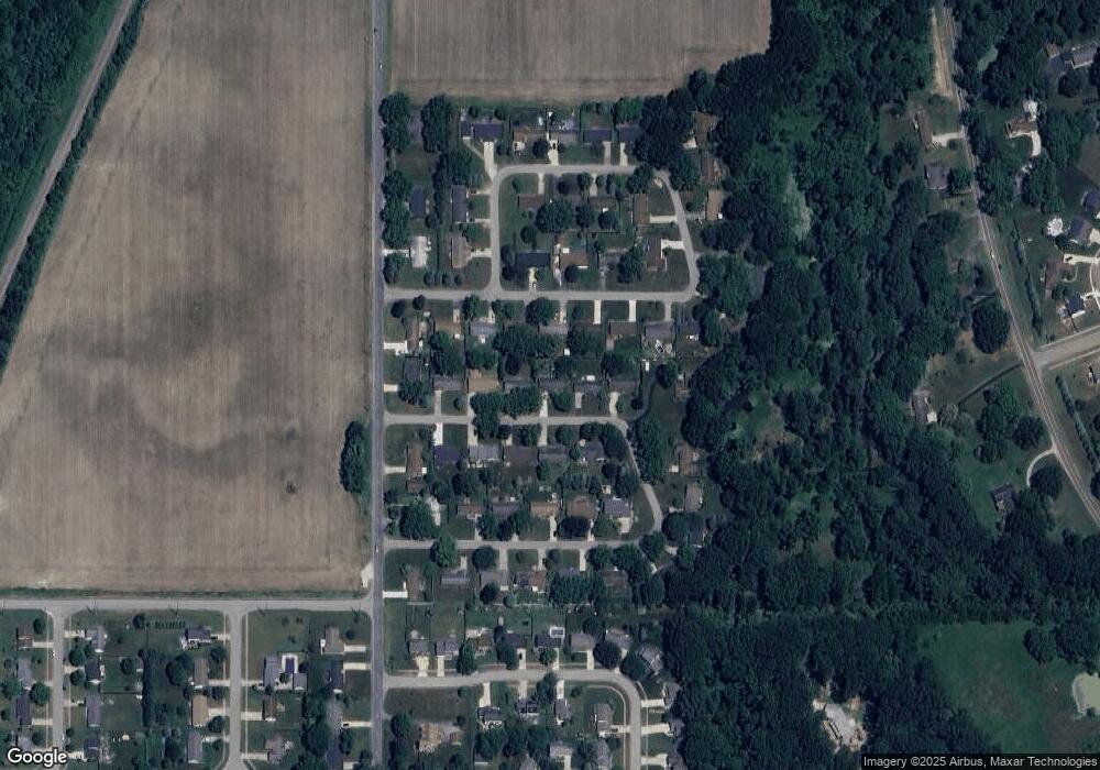
Map
Nearby Homes
- 2600 Bell Cir
- 3856 Jericho Rd
- 2626 Heritage Way
- 2394 Ulrich Ln
- 2430 Ulrich Ln
- 2516 Heritage Way
- 6257 Lara Ln
- 6175 Lara Ln
- 5845 Ridge Rd
- 5853 Ridge Rd
- 5758 St Joseph Ave
- 5363 Red Arrow Hwy
- 0 Red Arrow Hwy Unit 25003360
- 5771 Echo Ridge
- 2434 W John Beers Rd
- 6134 Fullerton Rd
- 6044 Wabash Ln
- 0 Pine St
- 2025 Joni Ln
- 5906 Wacker Dr
- 2821 Robin Hood Dr
- 2847 Robin Hood Dr
- 2830 Crownpoint Rd
- 2844 Crownpoint Rd
- 2816 Crownpoint Rd
- 2803 Robin Hood Dr
- 2861 Robin Hood Dr
- 2830 Robin Hood Dr
- 2844 Robin Hood Dr
- 2858 Crown Point Rd
- 2858 Crownpoint Rd
- 2818 Robin Hood Dr
- 2802 Crown Point Rd
- 2802 Crownpoint Rd
- 2839 Crownpoint Rd
- 2858 Robin Hood Dr
- 2875 Robin Hood Dr
- 2872 Crown Point Rd
- 2872 Crownpoint Rd
- 2786 Crownpoint Rd