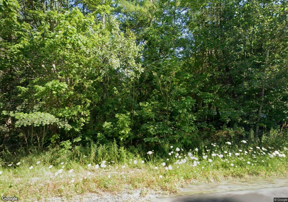
2833 Route 2 Hermon, ME 04401
Estimated Value: $413,000 - $462,000
3
Beds
2
Baths
2,376
Sq Ft
$185/Sq Ft
Est. Value
About This Home
This home is located at 2833 Route 2, Hermon, ME 04401 and is currently estimated at $438,794, approximately $184 per square foot. 2833 Route 2 is a home located in Penobscot County with nearby schools including Patricia A Duran School, Hermon Middle School, and Hermon High School.
Ownership History
Date
Name
Owned For
Owner Type
Purchase Details
Closed on
Jul 27, 2017
Sold by
Holodick Carol J
Bought by
Brydon Malcolm P and Brydon Cynthia A
Current Estimated Value
Home Financials for this Owner
Home Financials are based on the most recent Mortgage that was taken out on this home.
Original Mortgage
$224,677
Outstanding Balance
$187,222
Interest Rate
3.91%
Mortgage Type
Commercial
Estimated Equity
$251,572
Create a Home Valuation Report for This Property
The Home Valuation Report is an in-depth analysis detailing your home's value as well as a comparison with similar homes in the area
Home Values in the Area
Average Home Value in this Area
Purchase History
| Date | Buyer | Sale Price | Title Company |
|---|---|---|---|
| Brydon Malcolm P | -- | -- |
Source: Public Records
Mortgage History
| Date | Status | Borrower | Loan Amount |
|---|---|---|---|
| Open | Brydon Malcolm P | $224,677 |
Source: Public Records
Tax History Compared to Growth
Tax History
| Year | Tax Paid | Tax Assessment Tax Assessment Total Assessment is a certain percentage of the fair market value that is determined by local assessors to be the total taxable value of land and additions on the property. | Land | Improvement |
|---|---|---|---|---|
| 2024 | $3,220 | $295,400 | $47,100 | $248,300 |
| 2023 | $3,442 | $292,900 | $41,500 | $251,400 |
| 2022 | $2,806 | $235,800 | $36,900 | $198,900 |
| 2021 | $2,761 | $230,300 | $35,700 | $194,600 |
| 2020 | $2,715 | $226,400 | $34,900 | $191,500 |
| 2019 | $2,553 | $212,900 | $34,000 | $178,900 |
| 2018 | $2,470 | $212,900 | $34,000 | $178,900 |
| 2017 | $2,657 | $237,800 | $35,700 | $202,100 |
| 2016 | $2,734 | $227,800 | $34,400 | $193,400 |
| 2015 | $2,674 | $222,800 | $33,100 | $189,700 |
| 2014 | $2,602 | $216,801 | $33,100 | $183,701 |
Source: Public Records
Map
Nearby Homes
- 36 Munn Dr
- 558 Blackstream Rd
- 202 Orchard Dr
- 7 Beech Ridge Dr
- 22 Stoneybrook Way
- 555 Westwood Dr
- Lot 15 Hemlock Ridge Dr
- 41 Wendy Acres Dr
- 91 Wendy Acres Dr
- Lot11 Boxwood
- 649 Streamside Ave
- 633 Streamside Ave
- 148 Mountain View Dr
- 204 Edenfield Dr
- 2425- U S 2
- 106 Amberside Dr
- 17 Brad Dr
- 905 Blackstream Rd
- 37 Hunter Dr
- 37 Hunter Dr Unit 37
- 40 Higgins Dr
- 2834 Route 2
- 2826 Route 2
- 2827 Route 2
- 2822 Route 2
- 2817 Route 2
- 43 Higgins Dr
- 36 Higgins Dr
- 39 Higgins Dr
- 35 Higgins Dr
- 2814 Route 2
- 2814 U S 2
- 32 Higgins Dr
- 2858 Route 2
- 2805 Route 2
- 00 Hermon Highlands
- 0 Hermon Heights Unit Lot17 754674
- 0 Hermon Heights Unit 1310119
- 2019 Spruce St
- 27 Higgins Dr
