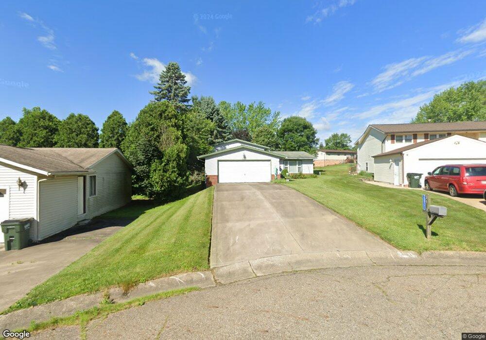
2833 Wayland Cir SW Canton, OH 44706
Estimated Value: $163,905 - $226,000
3
Beds
1
Bath
1,144
Sq Ft
$179/Sq Ft
Est. Value
About This Home
This home is located at 2833 Wayland Cir SW, Canton, OH 44706 and is currently estimated at $204,726, approximately $178 per square foot. 2833 Wayland Cir SW is a home located in Stark County with nearby schools including Pfeiffer Intermediate School, Edison Middle School, and Perry High School.
Ownership History
Date
Name
Owned For
Owner Type
Purchase Details
Closed on
Mar 23, 2018
Bought by
Cook Meilani
Current Estimated Value
Purchase Details
Closed on
Nov 29, 2005
Sold by
Estate Of George E Starks
Bought by
Starks Sharon A
Purchase Details
Closed on
Aug 14, 1991
Purchase Details
Closed on
May 18, 1990
Create a Home Valuation Report for This Property
The Home Valuation Report is an in-depth analysis detailing your home's value as well as a comparison with similar homes in the area
Home Values in the Area
Average Home Value in this Area
Purchase History
| Date | Buyer | Sale Price | Title Company |
|---|---|---|---|
| Cook Meilani | -- | -- | |
| Starks Sharon A | -- | -- | |
| -- | $71,300 | -- | |
| -- | $56,100 | -- |
Source: Public Records
Tax History Compared to Growth
Tax History
| Year | Tax Paid | Tax Assessment Tax Assessment Total Assessment is a certain percentage of the fair market value that is determined by local assessors to be the total taxable value of land and additions on the property. | Land | Improvement |
|---|---|---|---|---|
| 2025 | -- | $39,170 | $12,500 | $26,670 |
| 2024 | -- | $39,170 | $12,500 | $26,670 |
| 2023 | $1,961 | $39,100 | $9,660 | $29,440 |
| 2022 | $1,972 | $39,100 | $9,660 | $29,440 |
| 2021 | $2,100 | $39,100 | $9,660 | $29,440 |
| 2020 | $2,054 | $36,680 | $8,960 | $27,720 |
| 2019 | $1,852 | $36,680 | $8,960 | $27,720 |
| 2018 | $1,830 | $36,680 | $8,960 | $27,720 |
| 2017 | $1,698 | $31,510 | $7,880 | $23,630 |
| 2016 | $1,707 | $31,510 | $7,880 | $23,630 |
| 2015 | $1,722 | $31,510 | $7,880 | $23,630 |
| 2014 | $1,566 | $28,210 | $7,070 | $21,140 |
| 2013 | $747 | $28,210 | $7,070 | $21,140 |
Source: Public Records
Map
Nearby Homes
- 2840 Farmington Cir SW
- 2935 Farmington Cir SW
- 2670 Lombardi Ave SW
- 5528 Oakcliff St SW
- 3060 Leonard Ave SW
- 5960 Perry Hills Dr SW
- 2593 Barnstone Ave SW Unit 2593
- 5822 Longview St SW
- 5241 Dolores St SW
- 6014 Wentworth Rd SW
- 5910 Navarre Rd SW
- 6212 Hadleigh St SW
- 2667 Ashwell Ave SW
- 5001 Piccadilly St SW
- 0 Navarre Rd SW Unit 5093073
- 3834 Clark St SW
- 0 Clark St SW Unit 5126336
- V/L Groveland Ave SW
- 4400 Eddie Ave SW
- 4111 Harbrook St SW
- 2829 Wayland Cir SW
- 5463 Perry Hills Dr SW
- 5447 Perry Hills Dr SW
- 2823 Wayland Cir SW
- 5483 Perry Hills Dr SW
- 2854 Farmington Cir SW
- 2816 Wayland Cir SW
- 2866 Farmington Cir SW
- 5435 Perry Hills Dr SW
- 2822 Wayland Cir SW
- 2826 Wayland Cir SW
- 2844 Farmington Cir SW
- 5421 Perry Hills Dr SW
- 5484 Perry Hills Dr SW
- 2936 Farmington Cir SW
- 5490 Perry Hills Dr SW
- 2942 Farmington Cir SW
- 2883 Farmington Cir SW
- 2871 Farmington Cir SW
- 2948 Farmington Cir SW