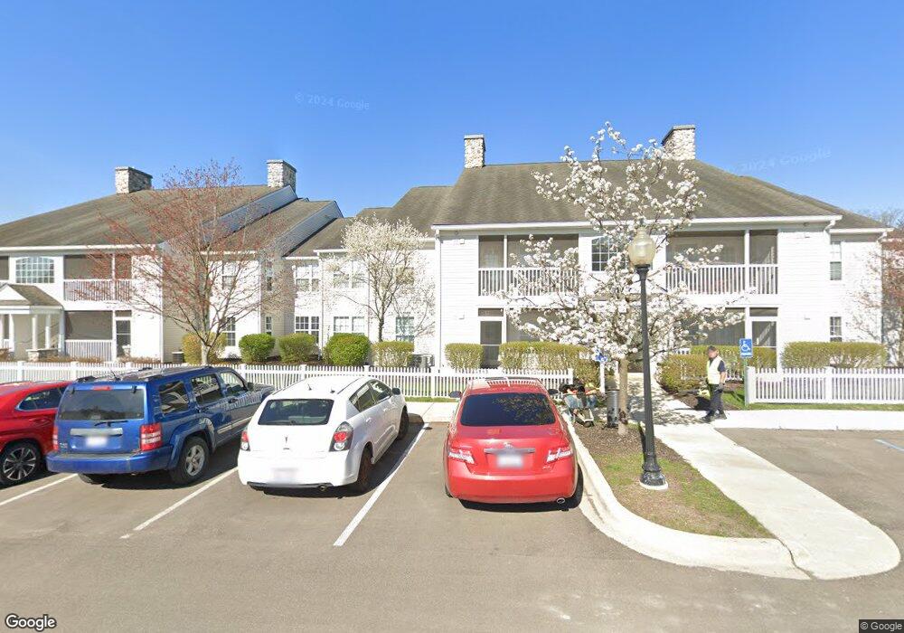
2834 S Knightsbridge Cir Unit 109 Ann Arbor, MI 48105
Northern Ann Arbor NeighborhoodEstimated Value: $294,294 - $349,000
2
Beds
2
Baths
1,094
Sq Ft
$291/Sq Ft
Est. Value
About This Home
This home is located at 2834 S Knightsbridge Cir Unit 109, Ann Arbor, MI 48105 and is currently estimated at $318,074, approximately $290 per square foot. 2834 S Knightsbridge Cir Unit 109 is a home located in Washtenaw County with nearby schools including Ann Arbor STEAM at Northside, Clague Middle School, and Skyline High School.
Ownership History
Date
Name
Owned For
Owner Type
Purchase Details
Closed on
May 14, 2004
Sold by
Ndc Of Northside Commons Ltd
Bought by
Gretzema Jennifer L
Current Estimated Value
Home Financials for this Owner
Home Financials are based on the most recent Mortgage that was taken out on this home.
Original Mortgage
$157,950
Outstanding Balance
$68,816
Interest Rate
4.5%
Mortgage Type
Unknown
Estimated Equity
$249,258
Create a Home Valuation Report for This Property
The Home Valuation Report is an in-depth analysis detailing your home's value as well as a comparison with similar homes in the area
Home Values in the Area
Average Home Value in this Area
Purchase History
| Date | Buyer | Sale Price | Title Company |
|---|---|---|---|
| Gretzema Jennifer L | $166,305 | Liberty Title Agency |
Source: Public Records
Mortgage History
| Date | Status | Borrower | Loan Amount |
|---|---|---|---|
| Open | Gretzema Jennifer L | $157,950 |
Source: Public Records
Tax History Compared to Growth
Tax History
| Year | Tax Paid | Tax Assessment Tax Assessment Total Assessment is a certain percentage of the fair market value that is determined by local assessors to be the total taxable value of land and additions on the property. | Land | Improvement |
|---|---|---|---|---|
| 2025 | $4,460 | $120,200 | $0 | $0 |
| 2024 | $4,350 | $108,500 | $0 | $0 |
| 2023 | $4,011 | $105,300 | $0 | $0 |
| 2022 | $4,371 | $115,500 | $0 | $0 |
| 2021 | $4,268 | $115,900 | $0 | $0 |
| 2020 | $4,182 | $108,400 | $0 | $0 |
| 2019 | $3,980 | $104,000 | $104,000 | $0 |
| 2018 | $3,924 | $93,700 | $0 | $0 |
| 2017 | $3,817 | $92,900 | $0 | $0 |
| 2016 | $3,682 | $76,324 | $0 | $0 |
| 2015 | $3,507 | $76,096 | $0 | $0 |
| 2014 | $3,507 | $73,719 | $0 | $0 |
| 2013 | -- | $73,719 | $0 | $0 |
Source: Public Records
Map
Nearby Homes
- 2994 Montana Way
- 2768 S Knightsbridge Cir
- 2678 S Knightsbridge Cir Unit 24
- 2768 Bristol Ridge Dr Unit 33
- 2776 Bristol Ridge Dr Unit 37
- 2772 Bristol Ridge Dr Unit 35
- 2774 Bristol Ridge Dr Unit 36
- 2778 Bristol Ridge Dr Unit 38
- 2757 Polson St
- 2865 Dillon Dr
- 3500 Pontiac Trail
- Morenci Plan at Barton Ridge
- Brant Plan at Barton Ridge
- Haslett Plan at Barton Ridge
- Alma Plan at Barton Ridge
- Decker Plan at Barton Ridge
- 3415 Maple Ridge Dr
- 3440 Maple Ridge Dr
- 244 Barton Shore Dr
- 3470 Maple Ridge Dr
- 2826 S Knightsbridge Cir Unit 101
- 2828 S Knightsbridge Cir
- 2830 S Knightsbridge Cir Unit Bldg-Unit
- 2830 S Knightsbridge Cir Unit 103
- 2838 S Knightsbridge Cir Unit 111
- 2836 S Knightsbridge Cir Unit 110
- 2832 S Knightsbridge Cir Unit 104
- 2840 S Knightsbridge Cir Unit 112
- 2816 S Knightsbridge Cir Unit 105
- 2808 S Knightsbridge Cir Unit 97
- 2820 S Knightsbridge Cir Unit 107
- 2812 S Knightsbridge Cir Unit 99
- 2810 S Knightsbridge Cir Unit 98
- 2814 S Knightsbridge Cir Unit 100
- 2818 S Knightsbridge Cir Unit 106
- 2822 S Knightsbridge Cir
- 2660 S Knightsbridge Cir
- 2656 S Knightsbridge Cir Unit 14
- 2648 S Knightsbridge Cir Unit 10
- 2652 S Knightsbridge Cir Unit 12