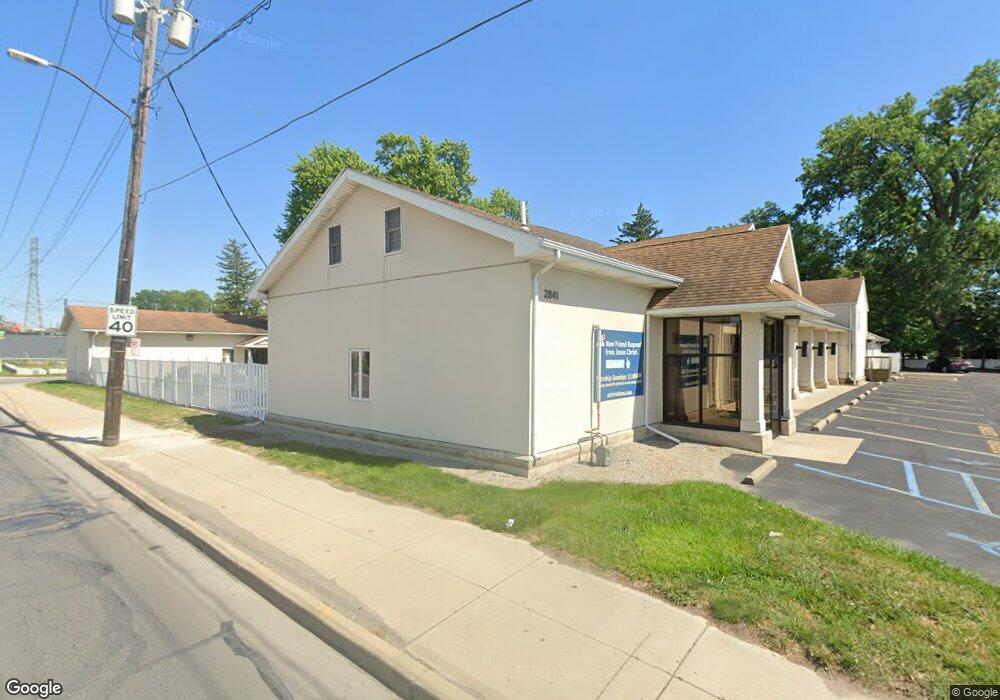
2835 Dorr St Toledo, OH 43607
Scott Park NeighborhoodEstimated Value: $60,000
3
Beds
1
Bath
870
Sq Ft
$69/Sq Ft
Est. Value
About This Home
This home is located at 2835 Dorr St, Toledo, OH 43607 and is currently priced at $60,000, approximately $68 per square foot. 2835 Dorr St is a home located in Lucas County with nearby schools including Keyser Elementary School, Rogers High School, and Victory Academy of Toledo.
Ownership History
Date
Name
Owned For
Owner Type
Purchase Details
Closed on
Nov 4, 1998
Sold by
Wagoner Lawrence L
Bought by
University Bible Fellowship Church
Current Estimated Value
Purchase Details
Closed on
Oct 9, 1998
Sold by
Curtis Charles S and Curtis Janice
Bought by
Wagoner Ii Lawrence L
Purchase Details
Closed on
Sep 30, 1998
Sold by
Wagoner Edna
Bought by
Wagoner Ii Lawrence L
Purchase Details
Closed on
Jun 11, 1998
Sold by
Estate Of Emma Hogrefe Mackinlay
Bought by
Curtis Charles S and Wagoner Edna
Create a Home Valuation Report for This Property
The Home Valuation Report is an in-depth analysis detailing your home's value as well as a comparison with similar homes in the area
Home Values in the Area
Average Home Value in this Area
Purchase History
| Date | Buyer | Sale Price | Title Company |
|---|---|---|---|
| University Bible Fellowship Church | $32,000 | -- | |
| Wagoner Ii Lawrence L | $8,666 | -- | |
| Wagoner Ii Lawrence L | $8,666 | -- | |
| Curtis Charles S | -- | -- |
Source: Public Records
Tax History
| Year | Tax Paid | Tax Assessment Tax Assessment Total Assessment is a certain percentage of the fair market value that is determined by local assessors to be the total taxable value of land and additions on the property. | Land | Improvement |
|---|---|---|---|---|
| 2025 | -- | $22,890 | $2,205 | $20,685 |
| 2024 | $73 | $22,890 | $2,205 | $20,685 |
| 2023 | $141 | $16,240 | $1,785 | $14,455 |
| 2022 | $138 | $16,240 | $1,785 | $14,455 |
| 2021 | $128 | $16,240 | $1,785 | $14,455 |
| 2020 | $153 | $13,790 | $3,325 | $10,465 |
| 2019 | $138 | $13,790 | $3,325 | $10,465 |
| 2018 | $145 | $13,790 | $3,325 | $10,465 |
| 2017 | $137 | $11,935 | $2,870 | $9,065 |
| 2016 | $151 | $34,100 | $8,200 | $25,900 |
| 2015 | $151 | $34,100 | $8,200 | $25,900 |
| 2014 | -- | $11,940 | $2,870 | $9,070 |
| 2013 | -- | $11,940 | $2,870 | $9,070 |
Source: Public Records
Map
Nearby Homes
- 914 Turner Ave
- 834 Broer Ave
- 2925 Avondale Ave
- 1408 Roosevelt Ave
- 714 Brookley Blvd
- 638 Broer Ave
- 820 MacKow Dr
- 712 Underwood Ave
- 1814 Alvin St
- 1901 Alvin St
- 1917 Alvin St
- 508 Ascot Ave
- 1125 Secor Rd
- 1732 Evansdale Ave
- 1011 Alldays Ave
- 2035 Alvin St
- 913 Coventry Ave
- 3155 Kylemore Rd
- 3205 Kylemore Rd
- 2547 Greenway St
- 1215 Elysian Ave
- 1213 Elysian Ave
- 1210 Turner Ave
- 1205 Elysian Ave
- 1206 Turner Ave
- 1216 Elysian Ave
- 1212 Elysian Ave
- 1202 Turner Ave
- 1129 Elysian Ave
- 1210 Elysian Ave
- 1130 Turner Ave
- 1206 Elysian Ave
- 1127 Elysian Ave
- 1202 Elysian Ave
- 1126 Turner Ave
- 1215 Bowlus Ave
- 2801 Dorr St
- 1213 Bowlus Ave
- 1123 Elysian Ave
- 1209 Bowlus Ave
Your Personal Tour Guide
Ask me questions while you tour the home.