2835 Rivers Edge Path Saint Joseph, MI 49085
Vineland NeighborhoodEstimated Value: $701,000 - $1,212,159
3
Beds
5
Baths
5,460
Sq Ft
$174/Sq Ft
Est. Value
About This Home
This home is located at 2835 Rivers Edge Path, Saint Joseph, MI 49085 and is currently estimated at $952,386, approximately $174 per square foot. 2835 Rivers Edge Path is a home located in Berrien County with nearby schools including Upton Middle School, St. Joseph High School, and Brookview Montessori School.
Ownership History
Date
Name
Owned For
Owner Type
Purchase Details
Closed on
Aug 10, 2007
Sold by
Lunsford Philip T and Lunsford Joyce L
Bought by
Fandozzi Kevin B and Fandozzi Ann M
Current Estimated Value
Home Financials for this Owner
Home Financials are based on the most recent Mortgage that was taken out on this home.
Original Mortgage
$848,000
Outstanding Balance
$537,734
Interest Rate
6.69%
Mortgage Type
Purchase Money Mortgage
Estimated Equity
$414,652
Create a Home Valuation Report for This Property
The Home Valuation Report is an in-depth analysis detailing your home's value as well as a comparison with similar homes in the area
Home Values in the Area
Average Home Value in this Area
Purchase History
| Date | Buyer | Sale Price | Title Company |
|---|---|---|---|
| Fandozzi Kevin B | -- | None Available |
Source: Public Records
Mortgage History
| Date | Status | Borrower | Loan Amount |
|---|---|---|---|
| Open | Fandozzi Kevin B | $848,000 |
Source: Public Records
Tax History Compared to Growth
Tax History
| Year | Tax Paid | Tax Assessment Tax Assessment Total Assessment is a certain percentage of the fair market value that is determined by local assessors to be the total taxable value of land and additions on the property. | Land | Improvement |
|---|---|---|---|---|
| 2025 | $16,367 | $609,500 | $0 | $0 |
| 2024 | $10,464 | $524,400 | $0 | $0 |
| 2023 | $15,324 | $493,600 | $0 | $0 |
| 2022 | $14,680 | $481,900 | $0 | $0 |
| 2021 | $14,377 | $452,800 | $91,700 | $361,100 |
| 2020 | $13,455 | $446,500 | $0 | $0 |
| 2019 | $12,952 | $492,400 | $107,800 | $384,600 |
| 2018 | $13,271 | $492,400 | $0 | $0 |
| 2017 | $13,079 | $489,400 | $0 | $0 |
| 2016 | $12,748 | $479,200 | $0 | $0 |
| 2015 | $12,559 | $460,100 | $0 | $0 |
| 2014 | $8,557 | $435,100 | $0 | $0 |
Source: Public Records
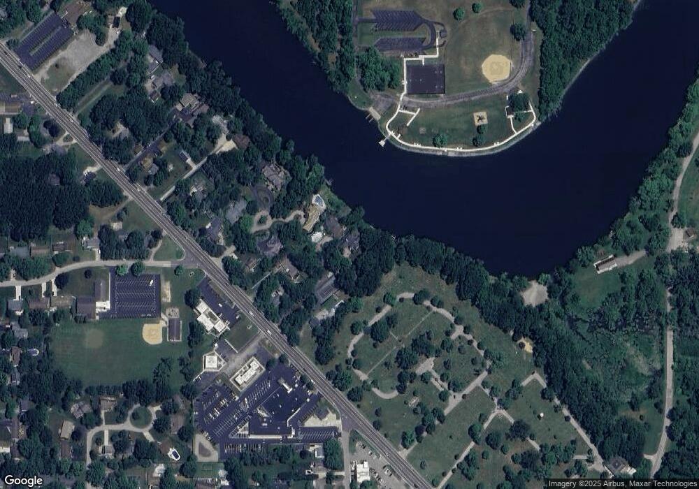
Map
Nearby Homes
- 2841 Niles Rd
- 649 Grant Ave
- 2960 Niles Rd
- 398121 Anchors Way
- 985 Jean Ann Dr
- 2705 Oakwood Ln
- 753 Lattimer Dr
- 1050 Jean Ann Dr
- 2510 Bay Pointe Dr
- 3215 Meade Ct
- 631 Marvin Ave
- 2401 Bay Pointe Dr
- 2500 Bay Pointe Dr
- 670 Marvin Ave
- 2317 S Pointe Way Unit 5
- 530 Manitou Rd
- V/L Niles Rd
- 944 Eagle Point Dr
- 924 Eagle Point Dr
- 275 Benjamin St
- 2831 Rivers Edge Path
- 662 Ashley Ln Unit 6
- 2801 Niles Rd
- 676 Ashley Ln Unit 5
- 2821 Niles Rd
- 692 Ashley Ln
- 661 Ashley Ln Unit 3
- 675 Ashley Ln
- 691 Ashley Ln Unit 1
- 2757 Niles Rd
- 2800 Niles Rd
- 2755 Niles Rd
- 2820 Niles Rd
- 1 Niles Road Hwy Unit B
- 1 Niles Road Hwy Unit A
- 1 Niles Road Hwy Unit C
- 1 Niles Road Hwy
- 2751 Niles Rd
- 2747 Niles Rd
- 2739 Riverfront Path