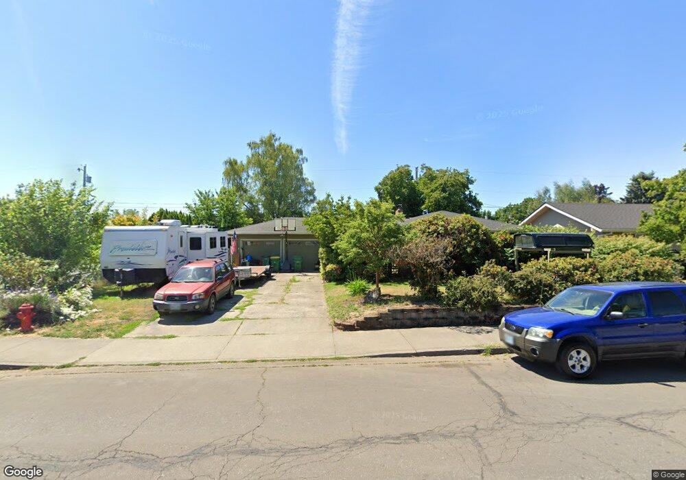
2836 18th Ave Unit 1 Forest Grove, OR 97116
Estimated Value: $430,000 - $491,000
3
Beds
2
Baths
1,358
Sq Ft
$347/Sq Ft
Est. Value
About This Home
This home is located at 2836 18th Ave Unit 1, Forest Grove, OR 97116 and is currently estimated at $471,587, approximately $347 per square foot. 2836 18th Ave Unit 1 is a home located in Washington County with nearby schools including Joseph Gale Elementary School, Neil Armstrong Middle School, and Tom McCall Upper Elementary School.
Ownership History
Date
Name
Owned For
Owner Type
Purchase Details
Closed on
Jul 1, 2019
Sold by
Flory James B and Flory Jean A
Bought by
Lowe Jarod Dean
Current Estimated Value
Home Financials for this Owner
Home Financials are based on the most recent Mortgage that was taken out on this home.
Original Mortgage
$351,919
Outstanding Balance
$306,856
Interest Rate
3.8%
Mortgage Type
New Conventional
Estimated Equity
$164,731
Purchase Details
Closed on
Mar 22, 2005
Sold by
Posey Gregory S and Posey Hollie K
Bought by
Flory James B and Flory Jean A
Home Financials for this Owner
Home Financials are based on the most recent Mortgage that was taken out on this home.
Original Mortgage
$141,600
Interest Rate
5.53%
Mortgage Type
Unknown
Create a Home Valuation Report for This Property
The Home Valuation Report is an in-depth analysis detailing your home's value as well as a comparison with similar homes in the area
Home Values in the Area
Average Home Value in this Area
Purchase History
| Date | Buyer | Sale Price | Title Company |
|---|---|---|---|
| Lowe Jarod Dean | $349,000 | First Amer Eqt Loan Svcs Inc | |
| Flory James B | $177,000 | Ticor Title Insurance Compan |
Source: Public Records
Mortgage History
| Date | Status | Borrower | Loan Amount |
|---|---|---|---|
| Open | Lowe Jarod Dean | $351,919 | |
| Previous Owner | Flory James B | $141,600 | |
| Closed | Flory James B | $35,400 |
Source: Public Records
Tax History Compared to Growth
Tax History
| Year | Tax Paid | Tax Assessment Tax Assessment Total Assessment is a certain percentage of the fair market value that is determined by local assessors to be the total taxable value of land and additions on the property. | Land | Improvement |
|---|---|---|---|---|
| 2026 | $4,141 | $232,520 | -- | -- |
| 2025 | $4,141 | $225,750 | -- | -- |
| 2024 | $3,995 | $219,180 | -- | -- |
| 2023 | $3,995 | $212,800 | $0 | $0 |
| 2022 | $3,493 | $212,800 | $0 | $0 |
| 2021 | $3,448 | $200,600 | $0 | $0 |
| 2020 | $3,429 | $194,760 | $0 | $0 |
| 2019 | $3,353 | $189,090 | $0 | $0 |
| 2018 | $2,996 | $169,210 | $0 | $0 |
| 2017 | $2,903 | $164,290 | $0 | $0 |
| 2016 | $2,821 | $159,510 | $0 | $0 |
| 2015 | $2,713 | $154,870 | $0 | $0 |
| 2014 | $2,700 | $150,360 | $0 | $0 |
Source: Public Records
Map
Nearby Homes
- 2815 18th Ave
- 2824 19th Ave
- 2902 19th Ave
- 1615 Kingwood St
- 1822 Hawthorne St
- 2743 15th Place
- 1813 Filbert St
- 3128 Brittany Dr
- 0 Crescent Dr
- 3213 Maple Place
- 2828 22nd Ave Unit 3
- 2828 22nd Ave Unit 5
- 0 Kingwood St
- 3404 19th Ave Unit 103
- 3404 19th Ave Unit 215
- 2366 Kingwood St
- 2323 19th Ave
- 1118 Hampton Ct
- 1119 Hawthorne St
- 2321 Annie Lou Ct