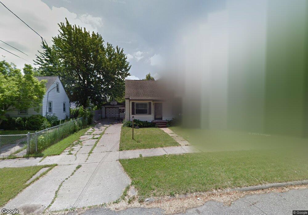
2837 Brandon St Flint, MI 48503
Chevrolet NeighborhoodEstimated Value: $92,000 - $107,000
3
Beds
1
Bath
1,302
Sq Ft
$75/Sq Ft
Est. Value
About This Home
This home is located at 2837 Brandon St, Flint, MI 48503 and is currently estimated at $97,156, approximately $74 per square foot. 2837 Brandon St is a home located in Genesee County with nearby schools including Durant-Tuuri-Mott Elementary School, Flint Southwestern Classical Academy, and St. Paul Lutheran School.
Ownership History
Date
Name
Owned For
Owner Type
Purchase Details
Closed on
Mar 9, 2016
Sold by
Judd Orlin V
Bought by
Jamison Juanisha
Current Estimated Value
Purchase Details
Closed on
Feb 8, 2008
Sold by
Snooks Samuel
Bought by
The Bank Of New York and Jpmorgan Chase Bank Na
Purchase Details
Closed on
Feb 4, 2005
Sold by
Badour David G
Bought by
Snooks Samuel
Home Financials for this Owner
Home Financials are based on the most recent Mortgage that was taken out on this home.
Original Mortgage
$81,500
Interest Rate
9%
Mortgage Type
Stand Alone First
Create a Home Valuation Report for This Property
The Home Valuation Report is an in-depth analysis detailing your home's value as well as a comparison with similar homes in the area
Home Values in the Area
Average Home Value in this Area
Purchase History
| Date | Buyer | Sale Price | Title Company |
|---|---|---|---|
| Jamison Juanisha | $21,000 | None Available | |
| The Bank Of New York | $89,331 | None Available | |
| Snooks Samuel | $81,500 | Rels Title |
Source: Public Records
Mortgage History
| Date | Status | Borrower | Loan Amount |
|---|---|---|---|
| Previous Owner | Snooks Samuel | $81,500 |
Source: Public Records
Tax History
| Year | Tax Paid | Tax Assessment Tax Assessment Total Assessment is a certain percentage of the fair market value that is determined by local assessors to be the total taxable value of land and additions on the property. | Land | Improvement |
|---|---|---|---|---|
| 2025 | $1,505 | $37,700 | $0 | $0 |
| 2024 | $1,345 | $35,600 | $0 | $0 |
| 2023 | $1,311 | $28,800 | $0 | $0 |
| 2022 | $0 | $24,500 | $0 | $0 |
| 2021 | $1,374 | $24,200 | $0 | $0 |
| 2020 | $1,221 | $23,700 | $0 | $0 |
| 2019 | $1,179 | $22,000 | $0 | $0 |
| 2018 | $1,218 | $21,400 | $0 | $0 |
| 2017 | $1,279 | $0 | $0 | $0 |
| 2016 | $1,171 | $0 | $0 | $0 |
| 2015 | -- | $0 | $0 | $0 |
| 2014 | -- | $0 | $0 | $0 |
| 2012 | -- | $23,500 | $0 | $0 |
Source: Public Records
Map
Nearby Homes
- 2729 Chicago Blvd
- 1555 Bradley Ave
- 3205 Clairmont St
- 3217 Arlene Ave
- 3310 Larchmont St
- 3102 Westwood Pkwy
- 3317 Arlene Ave
- 1114 Clancy Ave
- 3402 Brandon St
- 2618 Brown St
- 1122 Stocker Ave
- 2805 Reynolds St
- 3510 Hogarth Ave
- 1308 Barney Ave
- 3506 Chicago Blvd
- 2537 Swayze St
- 1017 Stocker Ave
- 3413 Augusta St
- 1412 S Ballenger Hwy
- 3609 Whitney Ave
- 2833 Brandon St
- 2841 Brandon St
- 2829 Brandon St
- 1709 Knight Ave
- 2838 Yale St
- 2842 Yale St
- 2834 Yale St
- 2830 Yale St
- 2846 Yale St
- 2844 Brandon St
- 2821 Brandon St
- 2826 Yale St
- 2830 Brandon St
- 1611 Knight Ave
- 2837 Chicago Blvd
- 2826 Brandon St
- 2822 Yale St
- 1716 Knight Ave
- 2817 Brandon St
- 2822 Brandon St
Your Personal Tour Guide
Ask me questions while you tour the home.