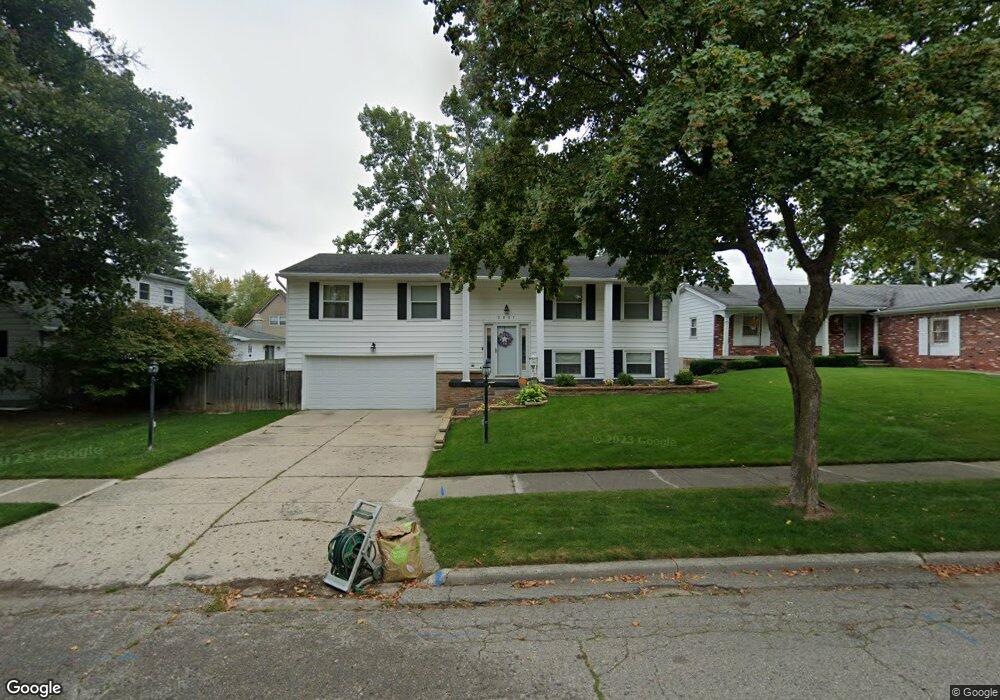
2837 Sunderland Rd Lansing, MI 48911
Averill Woods NeighborhoodEstimated Value: $202,138 - $261,000
--
Bed
2
Baths
1,924
Sq Ft
$120/Sq Ft
Est. Value
About This Home
This home is located at 2837 Sunderland Rd, Lansing, MI 48911 and is currently estimated at $230,785, approximately $119 per square foot. 2837 Sunderland Rd is a home located in Ingham County with nearby schools including Averill Elementary School, Attwood School, and J.W. Sexton High School.
Ownership History
Date
Name
Owned For
Owner Type
Purchase Details
Closed on
Jan 29, 2015
Sold by
Ross Bernadine A
Bought by
Ross Ameina R and Ross John D
Current Estimated Value
Purchase Details
Closed on
Jul 2, 2014
Sold by
Ross John D
Bought by
Ross Bernadine A
Purchase Details
Closed on
Nov 1, 1993
Bought by
Ross Jd and Ross Bernadine A
Create a Home Valuation Report for This Property
The Home Valuation Report is an in-depth analysis detailing your home's value as well as a comparison with similar homes in the area
Home Values in the Area
Average Home Value in this Area
Purchase History
| Date | Buyer | Sale Price | Title Company |
|---|---|---|---|
| Ross Ameina R | -- | None Available | |
| Ross Bernadine A | -- | None Available | |
| Ross Jd | $104,000 | -- |
Source: Public Records
Tax History Compared to Growth
Tax History
| Year | Tax Paid | Tax Assessment Tax Assessment Total Assessment is a certain percentage of the fair market value that is determined by local assessors to be the total taxable value of land and additions on the property. | Land | Improvement |
|---|---|---|---|---|
| 2025 | $3,308 | $89,500 | $12,200 | $77,300 |
| 2024 | $26 | $78,400 | $12,200 | $66,200 |
| 2023 | $3,101 | $72,500 | $12,200 | $60,300 |
| 2022 | $2,795 | $67,400 | $10,700 | $56,700 |
| 2021 | $2,737 | $66,000 | $10,400 | $55,600 |
| 2020 | $2,720 | $57,700 | $10,400 | $47,300 |
| 2019 | $2,608 | $55,700 | $10,400 | $45,300 |
| 2018 | $2,444 | $49,600 | $10,400 | $39,200 |
| 2017 | $2,340 | $49,600 | $10,400 | $39,200 |
| 2016 | $2,237 | $43,800 | $10,400 | $33,400 |
| 2015 | $2,237 | $40,600 | $20,800 | $19,800 |
| 2014 | $2,237 | $39,800 | $20,800 | $19,000 |
Source: Public Records
Map
Nearby Homes
- 3510 Christine Dr
- 3600 Sandhurst Dr
- 3425 Cooley Dr
- 3421 Troon Cir Unit 29
- 2710 Bedford Rd
- 3614 Cooley Dr
- 4.5 Locust Ln
- 3200 Lawdor Rd
- 2905 S Catherine St
- 3811 Cooley Dr
- 3508 Muirfield Dr
- 2 Locust Ln
- 2800 S Waverly Hwy
- 3601 Muirfield Dr
- 0 S Deerfield Ave
- 3701 Starlight Ln
- 3700 W Holmes Rd
- 3212 Ingham St
- 2201 Pamela Place
- 2200 Rossiter Place
- 3343 Brisbane Dr
- 3333 Brisbane Dr
- 2847 Sunderland Rd
- 3327 Brisbane Dr
- 3322 Gingersnap Ln
- 2905 Sunderland Rd
- 3328 Gingersnap Ln
- 3322 Ginger Snap Ln
- 3401 Brisbane Dr
- 3344 Brisbane Dr
- 2844 Sunderland Rd
- 3316 Gingersnap Ln
- 3334 Brisbane Dr
- 3317 Brisbane Dr
- 3340 Gingersnap Ln
- 3400 Brisbane Dr
- 2811 Sunderland Rd
- 3328 Brisbane Dr
- 3413 Brisbane Dr
- 3312 Gingersnap Ln