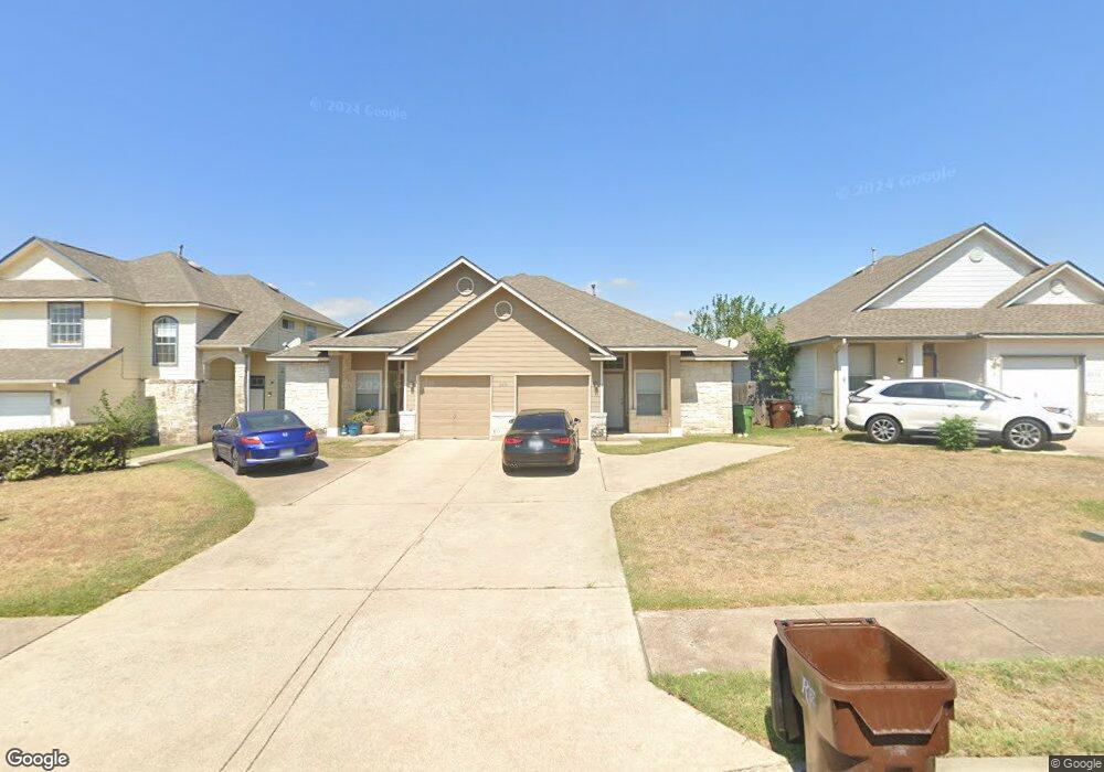
2838 Southampton Way Unit B Round Rock, TX 78664
Forest Creek NeighborhoodEstimated Value: $316,203 - $633,000
--
Bed
3
Baths
2,542
Sq Ft
$188/Sq Ft
Est. Value
About This Home
This home is located at 2838 Southampton Way Unit B, Round Rock, TX 78664 and is currently estimated at $477,301, approximately $187 per square foot. 2838 Southampton Way Unit B is a home located in Travis County with nearby schools including Gattis Elementary School, Ridgeview Middle School, and Cedar Ridge High School.
Ownership History
Date
Name
Owned For
Owner Type
Purchase Details
Closed on
May 10, 2012
Sold by
Le Hoa Thoai
Bought by
Odjob 1 & 4 Ventures Llc
Current Estimated Value
Purchase Details
Closed on
Jul 6, 2007
Sold by
Shoemaker Johnny B and Shoemaker Sharon D
Bought by
Le Hoa Thoai
Home Financials for this Owner
Home Financials are based on the most recent Mortgage that was taken out on this home.
Original Mortgage
$163,100
Interest Rate
6.41%
Mortgage Type
Purchase Money Mortgage
Create a Home Valuation Report for This Property
The Home Valuation Report is an in-depth analysis detailing your home's value as well as a comparison with similar homes in the area
Home Values in the Area
Average Home Value in this Area
Purchase History
| Date | Buyer | Sale Price | Title Company |
|---|---|---|---|
| Odjob 1 & 4 Ventures Llc | -- | Independence Title | |
| Le Hoa Thoai | -- | Atc |
Source: Public Records
Mortgage History
| Date | Status | Borrower | Loan Amount |
|---|---|---|---|
| Previous Owner | Le Hoa Thoai | $163,100 |
Source: Public Records
Tax History Compared to Growth
Tax History
| Year | Tax Paid | Tax Assessment Tax Assessment Total Assessment is a certain percentage of the fair market value that is determined by local assessors to be the total taxable value of land and additions on the property. | Land | Improvement |
|---|---|---|---|---|
| 2025 | $138 | $437,107 | $63,992 | $373,115 |
| 2023 | $134 | $346,167 | $60,000 | $286,167 |
| 2022 | $1,214 | $346,167 | $60,000 | $286,167 |
| 2021 | $109 | $340,581 | $40,000 | $300,581 |
| 2020 | $113 | $348,042 | $40,000 | $308,042 |
| 2018 | $117 | $339,325 | $40,000 | $299,325 |
| 2017 | $118 | $40,000 | $40,000 | $223,778 |
| 2016 | $118 | $40,000 | $40,000 | $227,439 |
| 2015 | $41 | $40,000 | $40,000 | $43,628 |
| 2014 | $41 | $40,000 | $0 | $0 |
Source: Public Records
Map
Nearby Homes
- 3225 Elizabeth Anne Ln
- 2880 Donnell Dr Unit 503
- 2880 Donnell Dr Unit 702
- 2880 Donnell Dr Unit 2003
- 2727 High Point Dr
- 2801 Adelen Ln
- 2639 Tandi Trail
- 2703 Vinson Ct
- Lavaca Plan at Center 45
- 18909 Schultz Ln
- 18909 Schultz Ln Unit 1102
- Frio Plan at Center 45
- Pecos Plan at Center 45
- Aspen Plan at Center 45
- 18909 Schultz Ln Unit 1002
- Comal Plan at Center 45
- 3403 Kelsey Cove
- 2508 Eastwood Ln
- 228 Timothy John Dr
- 2012 Charlotte Way
- 2838 Southampton Way Unit A
- 2838 Southampton Way Unit B
- 2838 Southampton Way Unit A
- 2840 Southampton Way Unit B
- 2840 Southampton Way Unit A
- 2840 Southampton Way
- 2836 Southampton Way Unit B
- 2836 Southampton Way Unit A
- 2709B Westhampton Ct
- 2842 Southampton Way Unit B
- 2842 Southampton Way Unit A
- 2709 Westhampton Ct Unit B
- 2709 Westhampton Ct Unit A
- 2709 Westhampton Ct
- 2711 Westhampton Ct Unit A&B
- 2711 Westhampton Ct Unit B
- 2711 Westhampton Ct Unit A
- 2711 Westhampton Ct
- 2707B Westhampton Ct
- 2828 Southampton Way Unit B