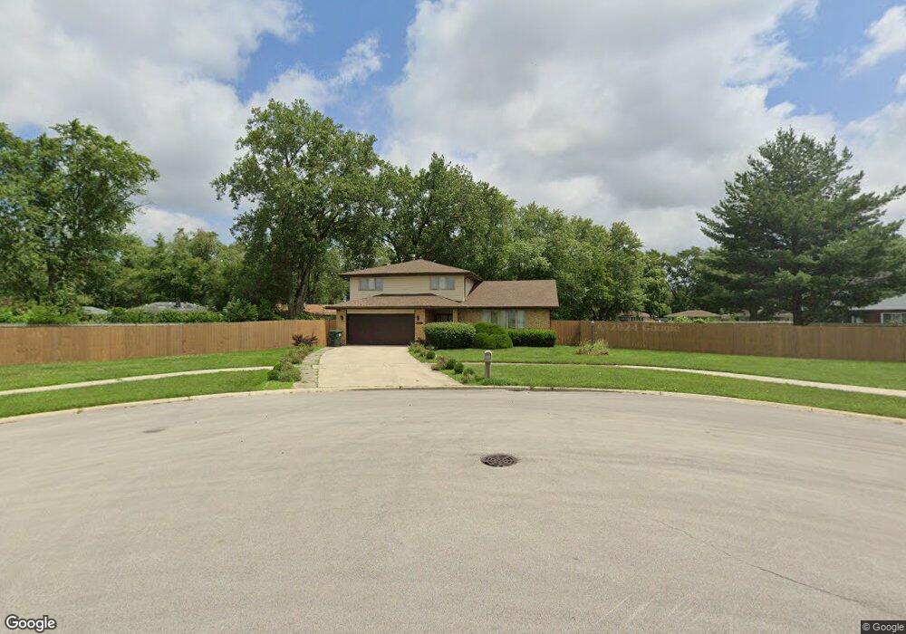
2838 W 163rd Place Unit 201 Markham, IL 60428
Estimated Value: $227,000 - $324,000
5
Beds
3
Baths
2,375
Sq Ft
$112/Sq Ft
Est. Value
About This Home
This home is located at 2838 W 163rd Place Unit 201, Markham, IL 60428 and is currently estimated at $267,047, approximately $112 per square foot. 2838 W 163rd Place Unit 201 is a home located in Cook County with nearby schools including Nob Hill Elementary School, Prairie-Hills Junior High School, and Hillcrest High School.
Ownership History
Date
Name
Owned For
Owner Type
Purchase Details
Closed on
Jan 28, 2004
Sold by
Wright Gus
Bought by
Payne Shirley and Austin Carol
Current Estimated Value
Home Financials for this Owner
Home Financials are based on the most recent Mortgage that was taken out on this home.
Original Mortgage
$169,000
Interest Rate
7.75%
Mortgage Type
Stand Alone First
Create a Home Valuation Report for This Property
The Home Valuation Report is an in-depth analysis detailing your home's value as well as a comparison with similar homes in the area
Home Values in the Area
Average Home Value in this Area
Purchase History
| Date | Buyer | Sale Price | Title Company |
|---|---|---|---|
| Payne Shirley | $169,000 | Multiple |
Source: Public Records
Mortgage History
| Date | Status | Borrower | Loan Amount |
|---|---|---|---|
| Previous Owner | Payne Shirley | $169,000 |
Source: Public Records
Tax History Compared to Growth
Tax History
| Year | Tax Paid | Tax Assessment Tax Assessment Total Assessment is a certain percentage of the fair market value that is determined by local assessors to be the total taxable value of land and additions on the property. | Land | Improvement |
|---|---|---|---|---|
| 2024 | $7,724 | $20,000 | $2,679 | $17,321 |
| 2023 | $5,565 | $20,000 | $2,679 | $17,321 |
| 2022 | $5,565 | $13,656 | $2,381 | $11,275 |
| 2021 | $5,536 | $13,655 | $2,381 | $11,274 |
| 2020 | $6,241 | $13,655 | $2,381 | $11,274 |
| 2019 | $8,986 | $18,353 | $2,083 | $16,270 |
| 2018 | $8,686 | $18,353 | $2,083 | $16,270 |
| 2017 | $8,294 | $18,353 | $2,083 | $16,270 |
| 2016 | $12,119 | $17,725 | $1,785 | $15,940 |
| 2015 | $11,172 | $17,725 | $1,785 | $15,940 |
| 2014 | $11,193 | $17,725 | $1,785 | $15,940 |
| 2013 | $11,296 | $19,654 | $1,785 | $17,869 |
Source: Public Records
Map
Nearby Homes
- 2756 Lancaster Dr
- 16352 California Ave
- 16364 California Ave
- 16218 Sussex Ct
- 2711 Lancaster Dr
- 16133 Cambridge Dr
- 2751 Oxford Dr
- 16101 Richmond Ave
- 16501 Oxford Dr
- 16537 California Ave
- 3043 Sussex Ave
- 3114 W 163rd St
- 16552 Oxford Dr
- 16029 Circle Dr
- 3025 Sherwood Ave
- 16614 Plymouth Dr
- 2956 Sherwood Ave
- 2758 Oxford Dr
- 3048 Sherwood Ave
- 2708 Oxford Dr
- 2823 Stafford Dr
- 2817 Stafford Dr
- 2829 Stafford Dr
- 16308 California Ave
- 2830 Berkshire Dr
- 16312 California Ave
- 2830 Berkshire St
- 2844 W 163rd Place
- 2835 Stafford Dr
- 16316 California Ave
- 16262 Sussex Ave
- 2841 Stafford Dr
- 2845 W 163rd Place
- 2850 W 163rd Place
- 2850 W 163rd Place
- 16320 California Ave
- 2816 Stafford Dr
- 2847 Stafford Dr
- 2806 Lancaster Dr
- 2847 W 163rd Place