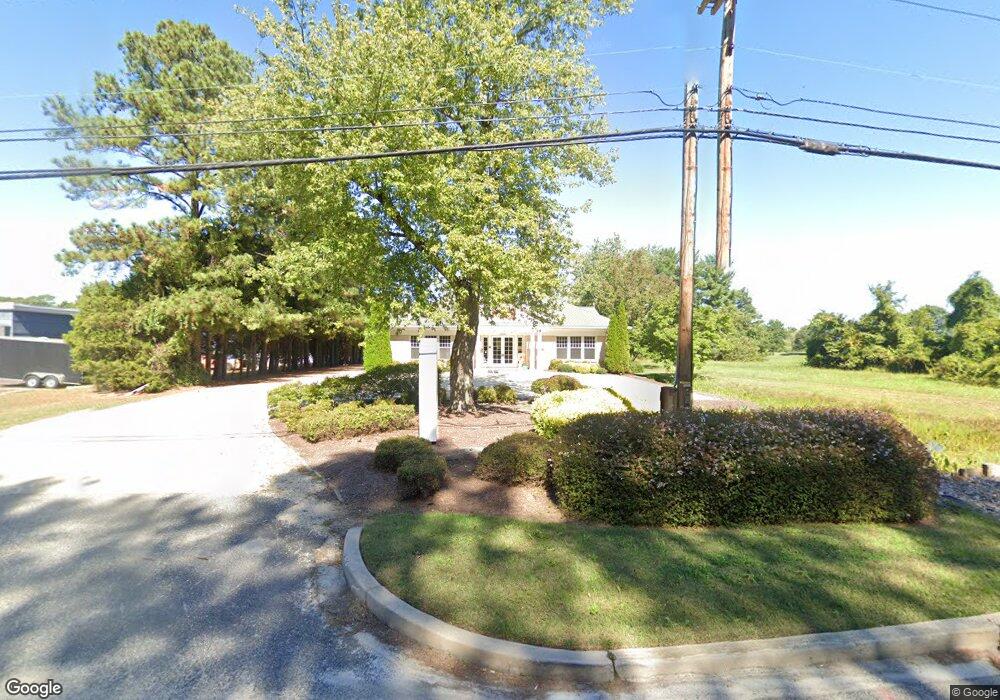
28380 Saint Michaels Rd Easton, MD 21601
--
Bed
--
Bath
2,711
Sq Ft
0.55
Acres
About This Home
This home is located at 28380 Saint Michaels Rd, Easton, MD 21601. 28380 Saint Michaels Rd is a home located in Talbot County with nearby schools including St. Michaels Elementary School, St. Michaels Middle/High School, and Easton High School.
Ownership History
Date
Name
Owned For
Owner Type
Purchase Details
Closed on
Dec 15, 2021
Sold by
Provident State Bank Inc
Bought by
Dhw Landholdings Llc
Home Financials for this Owner
Home Financials are based on the most recent Mortgage that was taken out on this home.
Original Mortgage
$552,000
Outstanding Balance
$506,805
Interest Rate
2.98%
Mortgage Type
Future Advance Clause Open End Mortgage
Purchase Details
Closed on
Jul 11, 2008
Sold by
Combs George W
Bought by
Provident State Bank Inc
Purchase Details
Closed on
Jul 10, 2008
Sold by
Combs George W
Bought by
Provident State Bank Inc
Purchase Details
Closed on
Oct 10, 2000
Sold by
Turner Carole Magee
Bought by
Combs George W
Purchase Details
Closed on
Sep 9, 1994
Sold by
Defranceaux George W and Defranceaux Ada M
Bought by
Turner Carole Magee
Create a Home Valuation Report for This Property
The Home Valuation Report is an in-depth analysis detailing your home's value as well as a comparison with similar homes in the area
Home Values in the Area
Average Home Value in this Area
Purchase History
| Date | Buyer | Sale Price | Title Company |
|---|---|---|---|
| Dhw Landholdings Llc | $700,000 | Venture Title Company Llc | |
| Provident State Bank Inc | $811,000 | -- | |
| Provident State Bank Inc | $811,000 | -- | |
| Combs George W | $210,000 | -- | |
| Turner Carole Magee | $159,500 | -- |
Source: Public Records
Mortgage History
| Date | Status | Borrower | Loan Amount |
|---|---|---|---|
| Open | Dhw Landholdings Llc | $552,000 |
Source: Public Records
Tax History Compared to Growth
Tax History
| Year | Tax Paid | Tax Assessment Tax Assessment Total Assessment is a certain percentage of the fair market value that is determined by local assessors to be the total taxable value of land and additions on the property. | Land | Improvement |
|---|---|---|---|---|
| 2025 | $4,998 | $686,267 | $0 | $0 |
| 2024 | $4,998 | $654,700 | $345,900 | $308,800 |
| 2023 | $4,690 | $654,700 | $345,900 | $308,800 |
| 2022 | $4,292 | $654,700 | $345,900 | $308,800 |
| 2021 | $8,297 | $658,200 | $345,900 | $312,300 |
| 2020 | $4,017 | $657,233 | $0 | $0 |
| 2019 | $4,011 | $656,267 | $0 | $0 |
| 2018 | $3,803 | $655,300 | $345,900 | $309,400 |
| 2017 | $3,448 | $655,300 | $0 | $0 |
| 2016 | $3,466 | $655,300 | $0 | $0 |
| 2015 | $3,106 | $678,400 | $0 | $0 |
| 2014 | $3,106 | $678,400 | $0 | $0 |
Source: Public Records
Map
Nearby Homes
- 28309 Village Lake Way
- 28298 Ayres Square
- 66 Johnson St
- 0 Lot 16 N Unit MDTA2012070
- 295 Bay St Unit 7
- 8061 N Fork Blvd
- 220 W Dover St
- 305 Port St
- 133 N Washington St
- 202 Tubman Dr
- 365 Glebe Rd
- 304 Wheatley Dr
- 26 S Washington St
- 356 Saint Aubins Terrace
- 227 Bethune Dr
- 328 N Washington St
- 33 S Harrison St
- 28522 Waterview Dr
- 224 Wye Ave
- 27843 Saint Michaels Rd
- 0 St Michaels Rd Unit 1008181770
- 0 St Michaels Rd Unit 1007874366
- 0 St Michaels Rd Unit 1007873832
- 0 St Michaels Rd Unit 1007869836
- 0 St Michaels Rd Unit 1007869756
- 0 St Michaels Rd Unit 1000181883
- 0 St Michaels Rd Unit 1006478458
- 0 St Michaels Rd Unit 1006331538
- 0 St Michaels Rd Unit 1006297630
- 0 St Michaels Rd Unit TA8578617
- 0 St Michaels Rd Unit TA9647202
- 0 St Michaels Rd Unit MDTA2004330
- 0 St Michaels Rd Unit MDTA2003022
- 0 St Michaels Rd Unit MDTA137306
- 0 St Michaels Rd Unit 1000049945
- 28412 Marlboro Ave
- 28320 Saint Michaels Rd
- 28410 Marlboro Ave
- 28414 Marlboro Ave
- 28291 Village Lake Way