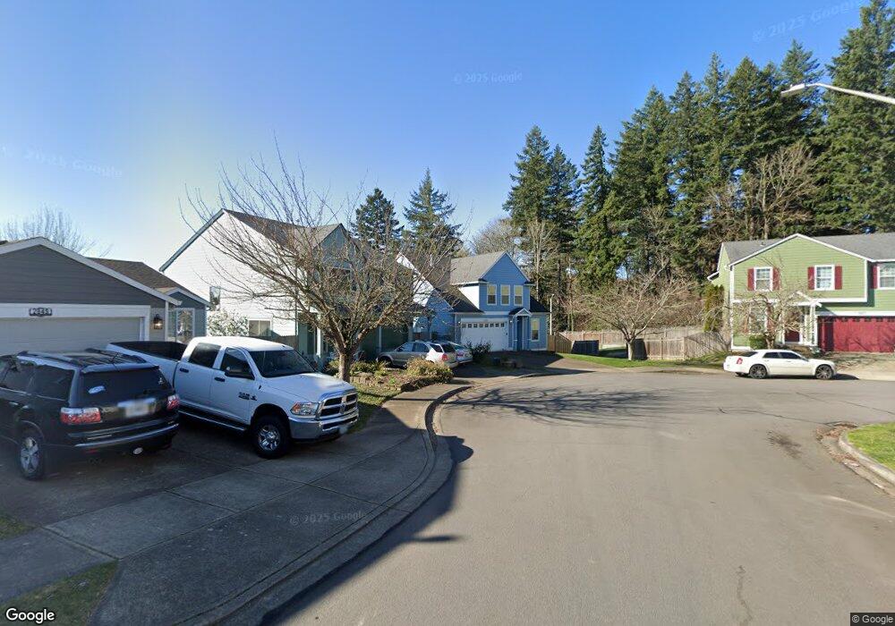
2839 SE Robin Cir Gresham, OR 97080
Mount Hood NeighborhoodEstimated Value: $472,000 - $515,724
4
Beds
2
Baths
1,975
Sq Ft
$252/Sq Ft
Est. Value
About This Home
This home is located at 2839 SE Robin Cir, Gresham, OR 97080 and is currently estimated at $497,931, approximately $252 per square foot. 2839 SE Robin Cir is a home located in Multnomah County with nearby schools including Hogan Cedars Elementary School, West Orient Middle School, and Sam Barlow High School.
Ownership History
Date
Name
Owned For
Owner Type
Purchase Details
Closed on
May 2, 2025
Sold by
Stover Marvin J and Stover Cathy D
Bought by
Stover Living Trust and Stover
Current Estimated Value
Purchase Details
Closed on
Feb 1, 2000
Sold by
Raze & Standring Llc
Bought by
Stover Marvin J and Stover Cathy D
Home Financials for this Owner
Home Financials are based on the most recent Mortgage that was taken out on this home.
Original Mortgage
$159,800
Interest Rate
6.91%
Mortgage Type
Purchase Money Mortgage
Create a Home Valuation Report for This Property
The Home Valuation Report is an in-depth analysis detailing your home's value as well as a comparison with similar homes in the area
Home Values in the Area
Average Home Value in this Area
Purchase History
| Date | Buyer | Sale Price | Title Company |
|---|---|---|---|
| Stover Living Trust | -- | None Listed On Document | |
| Stover Marvin J | $199,810 | Chicago Title Insurance Co |
Source: Public Records
Mortgage History
| Date | Status | Borrower | Loan Amount |
|---|---|---|---|
| Previous Owner | Stover Marvin J | $159,800 |
Source: Public Records
Tax History
| Year | Tax Paid | Tax Assessment Tax Assessment Total Assessment is a certain percentage of the fair market value that is determined by local assessors to be the total taxable value of land and additions on the property. | Land | Improvement |
|---|---|---|---|---|
| 2025 | $5,695 | $279,840 | -- | -- |
| 2024 | $5,451 | $271,690 | -- | -- |
| 2023 | $5,451 | $263,780 | -- | -- |
| 2022 | $4,828 | $256,100 | $0 | $0 |
| 2021 | $4,706 | $248,650 | $0 | $0 |
| 2020 | $4,428 | $241,410 | $0 | $0 |
| 2019 | $4,312 | $234,380 | $0 | $0 |
| 2018 | $4,112 | $227,560 | $0 | $0 |
| 2017 | $3,945 | $220,940 | $0 | $0 |
| 2016 | $3,478 | $214,510 | $0 | $0 |
| 2015 | $3,403 | $208,270 | $0 | $0 |
| 2014 | $3,320 | $202,210 | $0 | $0 |
Source: Public Records
Map
Nearby Homes
- 2910 SE Hillyard Rd
- 2624 SE Hale Way
- 3169 SE 34th St
- 3122 SE 23rd St
- 3259 SE 36th St
- 2073 SE Kane Ave
- 3788 SE 25th St
- 7326 SE 252nd Ave
- 2846 SE 18th Cir
- 3780 SE 21st Dr
- 2925 SE Cleveland Dr
- 2125 SE 18th Aly
- 2037 SE Centurion Way
- 2245 SE Wendy Dr
- 2392 SE 16th Aly
- 2678 SE Myrtlewood Way
- 2240 SE 16th St
- 1696 SE 26th Dr
- 2696 SE Palmquist Rd
- 2293 SE 15th Aly
- 2843 SE Robin Cir
- 2833 SE Robin Cir
- 2849 SE Robin Cir
- 2834 SE Robin Cir
- 2829 SE Robin Cir
- 2853 SE Robin Cir
- 2830 SE Robin Cir
- 2830 SE Robin Cir
- 2859 SE Robin Cir
- 2823 SE Robin Cir
- 2922 SE Hillyard Relisted
- 2828 SE Robin Cir
- 2816 SE Robin Cir
- 2863 SE Robin Cir
- 2938 SE Hillyard Rd
- 2819 SE Robin Ct
- 2855 SE Robin Way
- 2855 SE Robin Cir
- 2819 SE Robin Cir
- 2812 SE Robin Cir
Your Personal Tour Guide
Ask me questions while you tour the home.