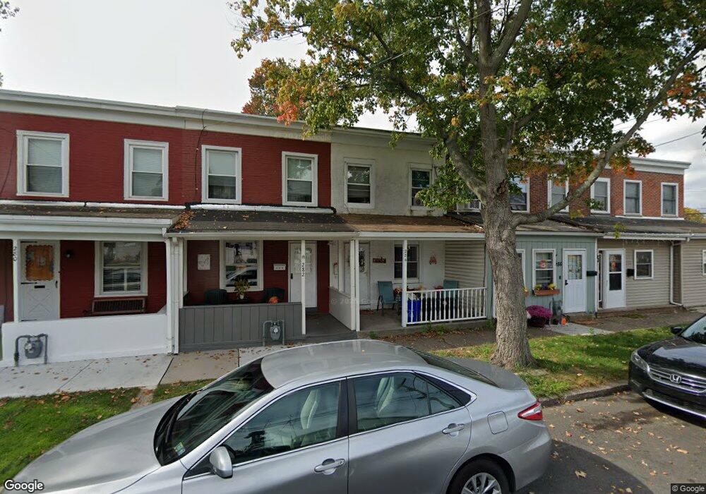
284 Hayes St Bristol, PA 19007
Estimated Value: $201,000 - $265,825
3
Beds
1
Bath
1,092
Sq Ft
$218/Sq Ft
Est. Value
About This Home
This home is located at 284 Hayes St, Bristol, PA 19007 and is currently estimated at $238,456, approximately $218 per square foot. 284 Hayes St is a home located in Bucks County with nearby schools including Snyder-Girotti Elementary School, Bristol High School, and First Presbyterian Church School.
Ownership History
Date
Name
Owned For
Owner Type
Purchase Details
Closed on
Aug 7, 2023
Sold by
Hay Investment Properties Llc
Bought by
Hay Jamie and Hay Jill L
Current Estimated Value
Home Financials for this Owner
Home Financials are based on the most recent Mortgage that was taken out on this home.
Original Mortgage
$108,000
Outstanding Balance
$98,181
Interest Rate
6.06%
Mortgage Type
New Conventional
Estimated Equity
$140,275
Purchase Details
Closed on
Sep 27, 2002
Sold by
Mosco Francis and Mosco Tammy R
Bought by
Hay Investment Properties
Home Financials for this Owner
Home Financials are based on the most recent Mortgage that was taken out on this home.
Original Mortgage
$59,500
Interest Rate
6.24%
Purchase Details
Closed on
Jul 6, 1995
Sold by
Michaels Lawrence R
Bought by
Federal Home Loan Mortgage Corporation
Create a Home Valuation Report for This Property
The Home Valuation Report is an in-depth analysis detailing your home's value as well as a comparison with similar homes in the area
Home Values in the Area
Average Home Value in this Area
Purchase History
| Date | Buyer | Sale Price | Title Company |
|---|---|---|---|
| Hay Jamie | -- | World Wide Land Transfer | |
| Hay Investment Properties | $70,000 | -- | |
| Federal Home Loan Mortgage Corporation | $870 | -- |
Source: Public Records
Mortgage History
| Date | Status | Borrower | Loan Amount |
|---|---|---|---|
| Open | Hay Jamie | $108,000 | |
| Previous Owner | Hay Investment Properties | $59,500 |
Source: Public Records
Tax History Compared to Growth
Tax History
| Year | Tax Paid | Tax Assessment Tax Assessment Total Assessment is a certain percentage of the fair market value that is determined by local assessors to be the total taxable value of land and additions on the property. | Land | Improvement |
|---|---|---|---|---|
| 2025 | $2,980 | $12,800 | $2,160 | $10,640 |
| 2024 | $2,980 | $12,800 | $2,160 | $10,640 |
| 2023 | $2,955 | $12,800 | $2,160 | $10,640 |
| 2022 | $2,955 | $12,800 | $2,160 | $10,640 |
| 2021 | $2,955 | $12,800 | $2,160 | $10,640 |
| 2020 | $3,038 | $12,800 | $2,160 | $10,640 |
| 2019 | $3,025 | $12,800 | $2,160 | $10,640 |
| 2018 | $3,025 | $12,800 | $2,160 | $10,640 |
| 2017 | $3,009 | $12,800 | $2,160 | $10,640 |
| 2016 | $3,009 | $12,800 | $2,160 | $10,640 |
| 2015 | -- | $12,800 | $2,160 | $10,640 |
| 2014 | -- | $12,800 | $2,160 | $10,640 |
Source: Public Records
Map
Nearby Homes
- 221 Cleveland St
- 243 Monroe St
- 321 Taft St
- 314 Railroad Ave
- 61 Green Ln
- 2285 Seabird Dr Unit 14
- 16434 River View Cir
- 16442 River View Cir
- 16422 River View Cir
- 16352 River View Cir
- 16242 River View Cir
- 16344 River View Cir
- 16342 River View Cir
- 16322 River View Cir
- 16332 River View Cir
- 16131 River View Cir
- 16241 River View Cir
- 16232 River View Cir
- 16251 River View Cir
- 16453 River View Cir