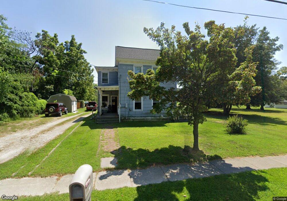
284 Landing Rd Newport, NJ 08345
Estimated Value: $265,000 - $331,000
--
Bed
--
Bath
1,502
Sq Ft
$194/Sq Ft
Est. Value
About This Home
This home is located at 284 Landing Rd, Newport, NJ 08345 and is currently estimated at $291,440, approximately $194 per square foot. 284 Landing Rd is a home located in Cumberland County with nearby schools including Downe Township Elementary School.
Ownership History
Date
Name
Owned For
Owner Type
Purchase Details
Closed on
May 24, 2023
Sold by
Kopakowski Thomas
Bought by
Walder Jacob and Harris Shelbi
Current Estimated Value
Purchase Details
Closed on
Sep 25, 2002
Sold by
Blizzard Kenneth
Bought by
Kosek Eugenia and Kopakowski Thomas
Create a Home Valuation Report for This Property
The Home Valuation Report is an in-depth analysis detailing your home's value as well as a comparison with similar homes in the area
Home Values in the Area
Average Home Value in this Area
Purchase History
| Date | Buyer | Sale Price | Title Company |
|---|---|---|---|
| Walder Jacob | $20,000 | None Listed On Document | |
| Kosek Eugenia | $25,000 | -- |
Source: Public Records
Tax History Compared to Growth
Tax History
| Year | Tax Paid | Tax Assessment Tax Assessment Total Assessment is a certain percentage of the fair market value that is determined by local assessors to be the total taxable value of land and additions on the property. | Land | Improvement |
|---|---|---|---|---|
| 2025 | $5,283 | $183,200 | $32,000 | $151,200 |
| 2024 | $5,283 | $183,200 | $32,000 | $151,200 |
| 2023 | $4,818 | $183,200 | $32,000 | $151,200 |
| 2022 | $4,697 | $183,200 | $32,000 | $151,200 |
| 2021 | $4,465 | $183,200 | $32,000 | $151,200 |
| 2020 | $4,406 | $183,200 | $32,000 | $151,200 |
| 2019 | $4,333 | $183,200 | $32,000 | $151,200 |
| 2018 | $4,389 | $183,200 | $32,000 | $151,200 |
| 2017 | $4,215 | $183,200 | $32,000 | $151,200 |
| 2016 | $4,212 | $183,200 | $32,000 | $151,200 |
| 2015 | $3,950 | $183,200 | $32,000 | $151,200 |
| 2014 | $3,659 | $183,200 | $32,000 | $151,200 |
Source: Public Records
Map
Nearby Homes
- 13 Hall St
- 184 Landing Rd
- 91 Landis Ave
- 281 Fortescue Rd
- 442 Shaws Mill Rd
- 0 Relm Ave Unit NJCB2022890
- 0 Keln Ave Unit NJCB2022904
- 554 Old Beaver Dam Rd
- 297 Factory Rd
- 377 Main St
- 73 Maple Ave
- 348 Main St
- 0 Lawn Ave Unit NJCB2022888
- 0 Lawn Ave Unit NJCB2022906
- 0 Forn Unit NJCB2022896
- 0 W Forn Unit NJCB2022892
- 0 Nark-Lawn Ave Unit NJCB2022900
- 0 Nark-Lawn Ave Unit NJCB2022902
- 0 Nark-Lawn Ave Unit NJCB2022898
- 0 Sawn Unit NJCB2022894
- 288 Landing Rd
- 287 Landing Rd
- 290 Landing Rd
- 289 Landing Rd
- 292 Landing Rd
- 274 Landing Rd
- 293 Landing Rd
- 281 Landing Rd
- 294 Landing Rd Unit 296
- 272 Landing Rd
- 277 Landing Rd
- 6 Fortescue Rd
- 297 Landing Rd
- 297 Landing Rd Unit 299
- 273 Landing Rd
- 0 Fortescue Rd Unit 356222
- 0 Fortescue Rd Unit 5922828
- 0 Fortescue Rd Unit 1004772505
- 0 Fortescue Rd Unit 1009322670
- 12 Fortescue Rd