284 Palisades Cir Stoughton, MA 02072
Estimated Value: $822,000 - $897,000
4
Beds
3
Baths
3,030
Sq Ft
$282/Sq Ft
Est. Value
About This Home
This home is located at 284 Palisades Cir, Stoughton, MA 02072 and is currently estimated at $854,515, approximately $282 per square foot. 284 Palisades Cir is a home located in Norfolk County with nearby schools including Joseph H. Gibbons Elementary School, Dr. Robert G. O'Donnell Middle School, and Stoughton High School.
Ownership History
Date
Name
Owned For
Owner Type
Purchase Details
Closed on
Dec 12, 2011
Sold by
Goulston Gerald D and Goulston Ruth J
Bought by
Ruth J Goulston Ft and Goulston
Current Estimated Value
Create a Home Valuation Report for This Property
The Home Valuation Report is an in-depth analysis detailing your home's value as well as a comparison with similar homes in the area
Home Values in the Area
Average Home Value in this Area
Purchase History
| Date | Buyer | Sale Price | Title Company |
|---|---|---|---|
| Ruth J Goulston Ft | -- | -- | |
| Ruth J Goulston Ft | -- | -- |
Source: Public Records
Mortgage History
| Date | Status | Borrower | Loan Amount |
|---|---|---|---|
| Previous Owner | Ruth J Goulston Ft | $175,000 | |
| Previous Owner | Ruth J Goulston Ft | $190,000 | |
| Previous Owner | Ruth J Goulston Ft | $60,000 |
Source: Public Records
Tax History Compared to Growth
Tax History
| Year | Tax Paid | Tax Assessment Tax Assessment Total Assessment is a certain percentage of the fair market value that is determined by local assessors to be the total taxable value of land and additions on the property. | Land | Improvement |
|---|---|---|---|---|
| 2025 | $9,457 | $763,900 | $297,900 | $466,000 |
| 2024 | $9,222 | $724,400 | $272,400 | $452,000 |
| 2023 | $8,862 | $654,000 | $230,000 | $424,000 |
| 2022 | $8,263 | $573,400 | $200,200 | $373,200 |
| 2021 | $8,583 | $568,400 | $194,600 | $373,800 |
| 2020 | $8,739 | $586,900 | $194,600 | $392,300 |
| 2019 | $8,773 | $571,900 | $194,600 | $377,300 |
| 2018 | $8,534 | $576,200 | $198,900 | $377,300 |
| 2017 | $7,991 | $551,500 | $198,900 | $352,600 |
| 2016 | $7,596 | $507,400 | $194,600 | $312,800 |
| 2015 | $7,612 | $503,100 | $190,300 | $312,800 |
| 2014 | $7,403 | $470,300 | $190,300 | $280,000 |
Source: Public Records
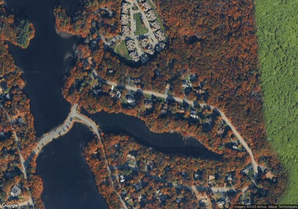
Map
Nearby Homes
- 93 Palisades Cir
- 1600 West St
- 175 N Main St
- 12 Holmes St
- 4 Eagle Rock Rd
- 15 King Ave
- 8 Hobart Way
- 14 Marshall Rd
- 11 Olde Stable Ln
- 79 Lucas Dr
- 2 Palace Ct
- 93 McEachron Dr
- 1 Whittier Ln Unit 1
- 18 Prudence Crandall Ln Unit 18
- 86 Union St
- 110 Union St
- Lot 4 West St
- Lot 8 Cooper Ln
- Lot 1 Winterberry Ln
- Lot 2 Winterberry Ln
- 266 Palisades Cir
- 294 Palisades Cir
- 93-L Palisades Cir
- 0 Palisades Cir
- 301 Palisades Cir
- 250 Palisades Cir
- 319 Palisades Cir
- 310 Palisades Cir
- 265 Palisades Cir
- 234 Palisades Cir
- 34 Conservation Way
- 33 Conservation Way
- 22 Palisades Cir
- 36 Palisades Cir
- 52 Lake Dr
- 37 Conservation Way
- 36 Conservation Way
- 35 Conservation Way
- 38 Conservation Way
- 247 Palisades Cir