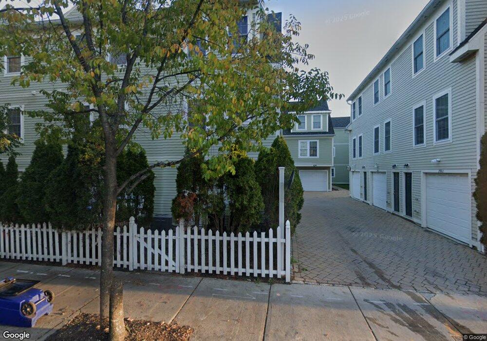
284 River St Unit 1 Cambridge, MA 02139
Cambridgeport NeighborhoodEstimated Value: $948,000 - $1,202,000
2
Beds
2
Baths
1,071
Sq Ft
$996/Sq Ft
Est. Value
About This Home
This home is located at 284 River St Unit 1, Cambridge, MA 02139 and is currently estimated at $1,066,377, approximately $995 per square foot. 284 River St Unit 1 is a home located in Middlesex County with nearby schools including St. Paul's Choir School, St Herman Of Alaska Christian School, and Boston University Academy.
Ownership History
Date
Name
Owned For
Owner Type
Purchase Details
Closed on
Jan 5, 2016
Sold by
Durand Kevin
Bought by
Durand Kevin and Deslauriers David F
Current Estimated Value
Purchase Details
Closed on
Oct 5, 2007
Sold by
Commonwealth Commons L
Bought by
Durand Kevin
Home Financials for this Owner
Home Financials are based on the most recent Mortgage that was taken out on this home.
Original Mortgage
$331,000
Interest Rate
6.59%
Mortgage Type
Purchase Money Mortgage
Create a Home Valuation Report for This Property
The Home Valuation Report is an in-depth analysis detailing your home's value as well as a comparison with similar homes in the area
Home Values in the Area
Average Home Value in this Area
Purchase History
| Date | Buyer | Sale Price | Title Company |
|---|---|---|---|
| Durand Kevin | -- | -- | |
| Durand Kevin | $481,000 | -- |
Source: Public Records
Mortgage History
| Date | Status | Borrower | Loan Amount |
|---|---|---|---|
| Previous Owner | Durand Kevin | $331,000 |
Source: Public Records
Tax History
| Year | Tax Paid | Tax Assessment Tax Assessment Total Assessment is a certain percentage of the fair market value that is determined by local assessors to be the total taxable value of land and additions on the property. | Land | Improvement |
|---|---|---|---|---|
| 2025 | $6,533 | $1,028,800 | $0 | $1,028,800 |
| 2024 | $5,799 | $979,600 | $0 | $979,600 |
| 2023 | $5,587 | $953,400 | $0 | $953,400 |
| 2022 | $5,380 | $908,800 | $0 | $908,800 |
| 2021 | $5,021 | $870,600 | $0 | $870,600 |
| 2020 | $4,832 | $840,400 | $0 | $840,400 |
| 2019 | $4,593 | $781,800 | $0 | $781,800 |
| 2018 | $4,529 | $720,000 | $0 | $720,000 |
| 2017 | $4,322 | $665,900 | $0 | $665,900 |
| 2016 | $4,123 | $589,900 | $0 | $589,900 |
| 2015 | $3,747 | $479,200 | $0 | $479,200 |
| 2014 | $3,448 | $411,400 | $0 | $411,400 |
Source: Public Records
Map
Nearby Homes
- 13 Howard St Unit 1
- 2 Hingham St
- 65 Howard St Unit 1
- 151 Magazine St Unit 2
- 39 Cottage St
- 174 Hamilton St
- 10 Corporal McTernan St Unit 406
- 180 Magazine St Unit 3
- 527 Franklin St
- 300 Franklin St Unit 5
- 300 Franklin St Unit 1
- 172-174 Auburn St Unit 3
- 49-51 Putnam Ave
- 860 Massachusetts Ave Unit 852-3
- 872 Massachusetts Ave Unit 303
- 260 Brookline St Unit 1
- 950 Massachusetts Ave Unit 307
- 950 Massachusetts Ave Unit 418
- 950 Massachusetts Ave Unit 504
- 950 Massachusetts Ave Unit C3B
- 284 River St Unit 3
- 284 River St Unit 2
- 284 River St Unit A
- 284 River St Unit C
- 290 River St Unit 3
- 290 River St Unit 2
- 290 River St Unit 1
- 290 River St Unit C
- 290 River St Unit 4
- 290 River St Unit 19
- 290 River St Unit 9
- 290 River St Unit 5
- 290 River St Unit 20
- 290 River St Unit B
- 290 River St Unit 7
- 290 River St Unit 17
- 286 River St
- 286 River St Unit 4
- 286 River St Unit 5
- 286 River St Unit 3
Your Personal Tour Guide
Ask me questions while you tour the home.