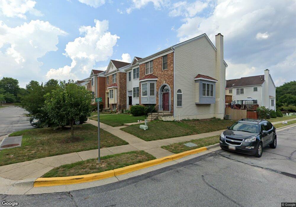
284 Saint Michaels Cir Odenton, MD 21113
Estimated Value: $390,913 - $446,000
--
Bed
4
Baths
1,558
Sq Ft
$275/Sq Ft
Est. Value
About This Home
This home is located at 284 Saint Michaels Cir, Odenton, MD 21113 and is currently estimated at $428,228, approximately $274 per square foot. 284 Saint Michaels Cir is a home located in Anne Arundel County with nearby schools including Seven Oaks Elementary School, MacArthur Middle School, and Meade High School.
Ownership History
Date
Name
Owned For
Owner Type
Purchase Details
Closed on
Jun 12, 2002
Sold by
Fierro Brian J
Bought by
Phifer Anthony and Phifer Davette
Current Estimated Value
Purchase Details
Closed on
Jun 10, 1994
Sold by
Grinstead Michael M
Bought by
Fierro Brian J
Purchase Details
Closed on
Jul 22, 1992
Sold by
Crestwood Homes Inc
Bought by
Grinstead Michael M
Home Financials for this Owner
Home Financials are based on the most recent Mortgage that was taken out on this home.
Original Mortgage
$153,150
Interest Rate
8.09%
Create a Home Valuation Report for This Property
The Home Valuation Report is an in-depth analysis detailing your home's value as well as a comparison with similar homes in the area
Home Values in the Area
Average Home Value in this Area
Purchase History
| Date | Buyer | Sale Price | Title Company |
|---|---|---|---|
| Phifer Anthony | $173,000 | -- | |
| Fierro Brian J | $159,000 | -- | |
| Grinstead Michael M | $161,200 | -- |
Source: Public Records
Mortgage History
| Date | Status | Borrower | Loan Amount |
|---|---|---|---|
| Previous Owner | Grinstead Michael M | $153,150 | |
| Closed | Phifer Anthony | -- |
Source: Public Records
Tax History Compared to Growth
Tax History
| Year | Tax Paid | Tax Assessment Tax Assessment Total Assessment is a certain percentage of the fair market value that is determined by local assessors to be the total taxable value of land and additions on the property. | Land | Improvement |
|---|---|---|---|---|
| 2025 | $3,005 | $362,800 | $150,000 | $212,800 |
| 2024 | $3,005 | $344,000 | $0 | $0 |
| 2023 | $2,909 | $325,200 | $0 | $0 |
| 2022 | $3,202 | $306,400 | $130,000 | $176,400 |
| 2021 | $5,323 | $302,133 | $0 | $0 |
| 2020 | $2,578 | $297,867 | $0 | $0 |
| 2019 | $4,968 | $293,600 | $115,000 | $178,600 |
| 2018 | $2,869 | $282,967 | $0 | $0 |
| 2017 | $2,389 | $272,333 | $0 | $0 |
| 2016 | -- | $261,700 | $0 | $0 |
| 2015 | -- | $260,900 | $0 | $0 |
| 2014 | -- | $260,100 | $0 | $0 |
Source: Public Records
Map
Nearby Homes
- 116 Langdon Farm Cir
- 146 Langdon Farm Cir
- 330 Timberbrook Ct
- 322 Timberbrook Ct
- 2008 Bunker Hill Ct
- 2240 Canteen Cir
- 2104 Commissary Cir
- 319-F Eagles Landing Ct Unit 319F
- 2242 Commissary Cir
- 2110 Commodore Ct
- 2139 Commissary Cir
- 224 Arcadia Shores Cir
- 313 3 Sirens Ct
- 106 Pinecove Ave
- 302 Assembly Point Ct
- 178 Pinecove Ave
- 1520 Annapolis Rd
- 1454 Berger St
- 156 Goldsborough Dr
- 1747 Glebe Creek Way
- 286 Saint Michaels Cir
- 282 Saint Michaels Cir
- 286 St Michaels Cir Unit 24
- 288 Saint Michaels Cir Unit 23
- 280 Saint Michaels Cir
- 280 Saint Michaels Cir Unit 27
- 290 Saint Michaels Cir
- 290 Saint Michaels Cir Unit 22
- 292 Saint Michaels Cir Unit 21
- 292 St Michaels Cir Unit 21
- 210 Commodore Way
- 212 Commodore Way
- 208 Commodore Way
- 206 Commodore Way
- 214 Commodore Way
- 294 St Michaels Cir Unit 20
- 294 Saint Michaels Cir
- 294 Saint Michaels Cir Unit 20
- 204 Commodore Way
- 202 Commodore Way