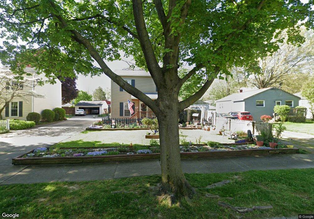
2840 Burnside St Akron, OH 44312
Ellet NeighborhoodEstimated Value: $142,000 - $185,000
3
Beds
1
Bath
1,144
Sq Ft
$147/Sq Ft
Est. Value
About This Home
This home is located at 2840 Burnside St, Akron, OH 44312 and is currently estimated at $168,241, approximately $147 per square foot. 2840 Burnside St is a home located in Summit County with nearby schools including Ellet High School, Summit Academy Akron Elementary School, and Hatton Community Learning Center.
Ownership History
Date
Name
Owned For
Owner Type
Purchase Details
Closed on
Jun 13, 1994
Sold by
Hohlbaugh Darrell A
Bought by
Groves Wallace W and Groves Leonora D
Current Estimated Value
Home Financials for this Owner
Home Financials are based on the most recent Mortgage that was taken out on this home.
Original Mortgage
$76,483
Interest Rate
8.45%
Mortgage Type
FHA
Create a Home Valuation Report for This Property
The Home Valuation Report is an in-depth analysis detailing your home's value as well as a comparison with similar homes in the area
Home Values in the Area
Average Home Value in this Area
Purchase History
| Date | Buyer | Sale Price | Title Company |
|---|---|---|---|
| Groves Wallace W | $83,000 | -- |
Source: Public Records
Mortgage History
| Date | Status | Borrower | Loan Amount |
|---|---|---|---|
| Closed | Groves Wallace W | $76,483 |
Source: Public Records
Tax History
| Year | Tax Paid | Tax Assessment Tax Assessment Total Assessment is a certain percentage of the fair market value that is determined by local assessors to be the total taxable value of land and additions on the property. | Land | Improvement |
|---|---|---|---|---|
| 2024 | $2,547 | $47,933 | $7,917 | $40,016 |
| 2023 | $2,547 | $47,933 | $7,917 | $40,016 |
| 2022 | $2,579 | $38,189 | $6,234 | $31,955 |
| 2021 | $2,582 | $38,189 | $6,234 | $31,955 |
| 2020 | $2,543 | $38,190 | $6,230 | $31,960 |
| 2019 | $2,241 | $30,420 | $6,230 | $24,190 |
| 2018 | $2,211 | $30,420 | $6,230 | $24,190 |
| 2017 | $2,246 | $30,420 | $6,230 | $24,190 |
| 2016 | $2,248 | $30,420 | $6,230 | $24,190 |
| 2015 | $2,246 | $30,420 | $6,230 | $24,190 |
| 2014 | $2,228 | $30,420 | $6,230 | $24,190 |
| 2013 | $2,188 | $30,500 | $6,230 | $24,270 |
Source: Public Records
Map
Nearby Homes
- 2834 Burnside St
- 2844 Burnside St
- 2830 Burnside St
- 2833 Morrison St
- 2850 Burnside St
- 2827 Morrison St
- 2849 Morrison St
- 2849 Morrison St
- 2843 Morrison St
- 2843 Morrison St
- 2823 Burnside St
- 2833 Burnside St
- 2839 Burnside St
- 139 High Grove Blvd
- 2860 Burnside St
- 131 High Grove Blvd
- 2853 Burnside St
- 145 High Grove Blvd
- 2864 Burnside St
- 2863 Morrison St
Your Personal Tour Guide
Ask me questions while you tour the home.