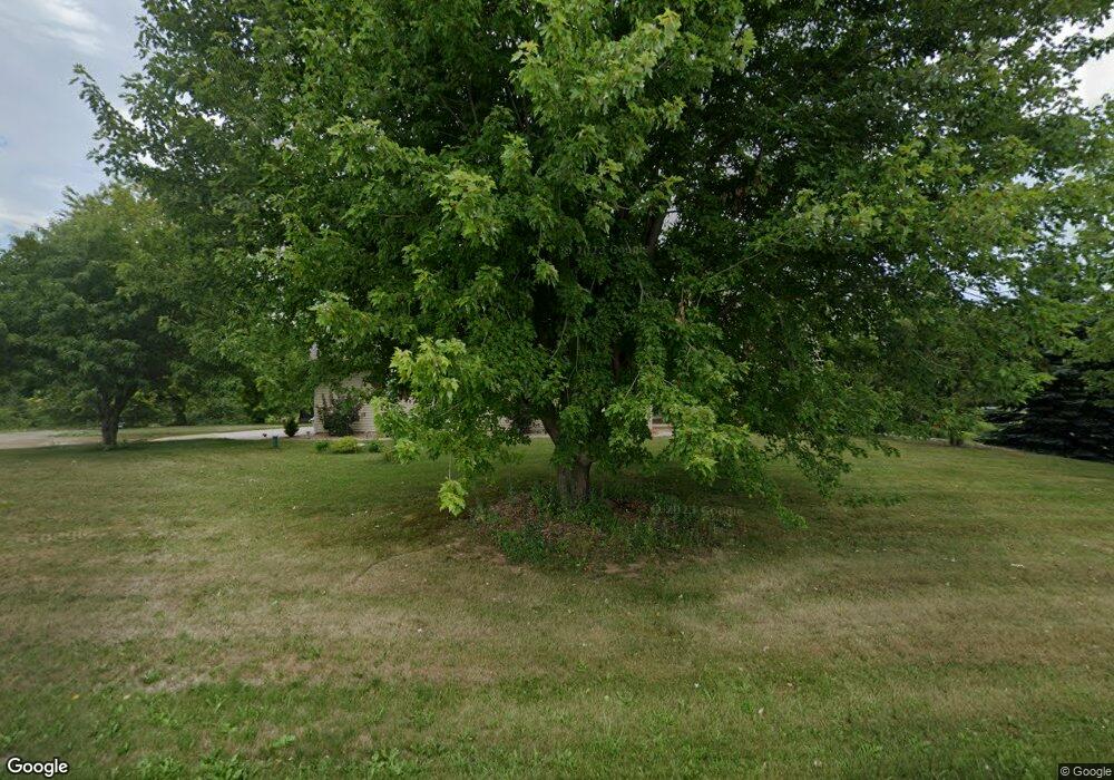
2840 Lawrence Dr de Pere, WI 54115
Estimated Value: $495,000 - $713,114
4
Beds
2
Baths
2,460
Sq Ft
$237/Sq Ft
Est. Value
About This Home
This home is located at 2840 Lawrence Dr, de Pere, WI 54115 and is currently estimated at $582,279, approximately $236 per square foot. 2840 Lawrence Dr is a home located in Brown County with nearby schools including Hemlock Creek Elementary School, West De Pere Middle School, and West De Pere High School.
Ownership History
Date
Name
Owned For
Owner Type
Purchase Details
Closed on
Oct 30, 2019
Sold by
Herrmann Michael and Herrmann Sandra M
Bought by
Neta Chad Douglas and Neta Amber Kristine
Current Estimated Value
Home Financials for this Owner
Home Financials are based on the most recent Mortgage that was taken out on this home.
Original Mortgage
$253,750
Outstanding Balance
$223,235
Interest Rate
3.6%
Mortgage Type
VA
Estimated Equity
$359,044
Create a Home Valuation Report for This Property
The Home Valuation Report is an in-depth analysis detailing your home's value as well as a comparison with similar homes in the area
Home Values in the Area
Average Home Value in this Area
Purchase History
| Date | Buyer | Sale Price | Title Company |
|---|---|---|---|
| Neta Chad Douglas | $300,000 | None Available |
Source: Public Records
Mortgage History
| Date | Status | Borrower | Loan Amount |
|---|---|---|---|
| Open | Neta Chad Douglas | $253,750 |
Source: Public Records
Tax History Compared to Growth
Tax History
| Year | Tax Paid | Tax Assessment Tax Assessment Total Assessment is a certain percentage of the fair market value that is determined by local assessors to be the total taxable value of land and additions on the property. | Land | Improvement |
|---|---|---|---|---|
| 2024 | $4,852 | $333,700 | $150,700 | $183,000 |
| 2023 | $4,463 | $333,700 | $150,700 | $183,000 |
| 2022 | $4,485 | $333,700 | $150,700 | $183,000 |
| 2021 | $4,509 | $333,700 | $150,700 | $183,000 |
| 2020 | $4,223 | $224,000 | $85,600 | $138,400 |
| 2019 | $4,163 | $224,000 | $85,600 | $138,400 |
| 2018 | $3,980 | $224,000 | $85,600 | $138,400 |
| 2017 | $4,040 | $224,000 | $85,600 | $138,400 |
| 2016 | $4,084 | $224,000 | $85,600 | $138,400 |
| 2015 | $4,144 | $224,000 | $85,600 | $138,400 |
| 2014 | $4,356 | $224,000 | $85,600 | $138,400 |
| 2013 | $4,356 | $224,000 | $85,600 | $138,400 |
Source: Public Records
Map
Nearby Homes
- 3133 Toad Island Trail
- 0 Sabal Oak Dr Unit 50212865
- 0 Sabal Oak Dr Unit 50212858
- 0 Tambour Trail Unit 50212878
- 0 Tambour Trail Unit 50212876
- 0 Tambour Trail Unit 50212793
- 0 Tambour Trail Unit 50212791
- 0 Tambour Trail Unit 50212783
- 2835 Tambour Trail
- 726 Tambour Ct
- 726 Tambour Ct Unit 7
- 733 Tambour Ct
- 733 Tambour Ct Unit 10
- 706 Tambour Ct
- 3128 Toad Island Trail
- 3137 Toad Island Trail
- 3141 Toad Island Trail
- 1459 Chickory Ct
- 0 French Rd Unit 50305701
- 0 French Rd Unit 50305165
- 2285 Little Rapids Rd
- 2858 Lawrence Dr
- 0 Toad Island Trail Unit 50302368
- 0 Toad Island Trail Unit 50302277
- 0 Toad Island Trail Unit 50302276
- 3124 Toad Island Trail
- 0 Woodward Way Unit 50302278
- 2911 Sabal Oak Dr
- 2911 Sabal Oak Dr Unit Lot 21
- 2911 Sabal Oak Dr
- 2900 Sabal Oak Dr
- 2919 Sabal Oak Dr
- 2721 Lawrence Dr
- 2800 Tambour Trail
- 2925-2927 Sabal Oak Dr
- 2720 Lawrence Dr
- 2912 Sabal Oak Dr
- 2801 Tambour Trail
- 2931 Sabal Oak Dr
- 2925 Sabal Oak Dr
