28411 N 131st Dr Peoria, AZ 85383
Estimated Value: $625,000 - $692,462
--
Bed
--
Bath
2,615
Sq Ft
$256/Sq Ft
Est. Value
About This Home
This home is located at 28411 N 131st Dr, Peoria, AZ 85383 and is currently estimated at $669,366, approximately $255 per square foot. 28411 N 131st Dr is a home with nearby schools including Lake Pleasant Elementary School and Liberty High School.
Ownership History
Date
Name
Owned For
Owner Type
Purchase Details
Closed on
Oct 25, 2021
Sold by
Tm Homes Of Arizona Inc
Bought by
Douvikas Vicki Lynn and Douvikas Jason Todd
Current Estimated Value
Home Financials for this Owner
Home Financials are based on the most recent Mortgage that was taken out on this home.
Original Mortgage
$462,313
Outstanding Balance
$421,586
Interest Rate
2.8%
Mortgage Type
Purchase Money Mortgage
Estimated Equity
$247,780
Purchase Details
Closed on
Jan 6, 2017
Sold by
Sl Property
Bought by
Davis Charles Scott
Create a Home Valuation Report for This Property
The Home Valuation Report is an in-depth analysis detailing your home's value as well as a comparison with similar homes in the area
Home Values in the Area
Average Home Value in this Area
Purchase History
| Date | Buyer | Sale Price | Title Company |
|---|---|---|---|
| Douvikas Vicki Lynn | $543,898 | Inspired Title Services Llc | |
| Tm Homes Of Arizona Inc | -- | New Title Company Name | |
| Davis Charles Scott | $900 | Accommodation |
Source: Public Records
Mortgage History
| Date | Status | Borrower | Loan Amount |
|---|---|---|---|
| Open | Douvikas Vicki Lynn | $462,313 |
Source: Public Records
Tax History Compared to Growth
Tax History
| Year | Tax Paid | Tax Assessment Tax Assessment Total Assessment is a certain percentage of the fair market value that is determined by local assessors to be the total taxable value of land and additions on the property. | Land | Improvement |
|---|---|---|---|---|
| 2025 | $2,341 | $29,745 | -- | -- |
| 2024 | $2,320 | $28,328 | -- | -- |
| 2023 | $2,320 | $40,660 | $8,130 | $32,530 |
| 2022 | $2,233 | $38,350 | $7,670 | $30,680 |
| 2021 | $178 | $2,730 | $2,730 | $0 |
| 2020 | $0 | $2 | $2 | $0 |
Source: Public Records
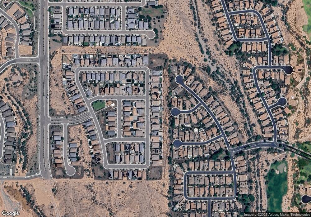
Map
Nearby Homes
- 28375 N 130th Dr
- 28273 N 132nd Ln
- 28755 N 131st Dr
- 28266 N 132nd Ln
- 12903 W Brookhart Way
- 13055 W Eagle Talon Trail
- 13473 W Roy Rogers Rd
- 13144 W Roy Rogers Rd
- 13317 W Dale Ln
- 12920 W Roy Rogers Rd
- 13059 W Steed Ridge
- 13179 W Steed Ridge Rd
- 12780 W Desert Vista Trail
- 12773 W Desert Vista Trail
- 28831 N 128th Dr
- 12988 W Kokopelli Dr
- 28881 N 134th Dr
- 12725 W Dale Ln
- 12726 W Dale Ln
- 27711 N 130th Ave
- 28389 N 131st Dr
- 28433 N 131st Dr
- 28455 N 131st Dr
- 28367 N 131st Dr
- 28398 N 131st Dr
- 28422 N 131st Dr
- 28345 N 131st Dr
- 13056 W Lucia Dr
- 28499 N 131st Dr
- 28350 N 131st Dr
- 28323 N 131st Dr
- 13140 W Cordia Ln
- 13048 W Lucia Dr
- 13073 W Lucia Dr
- 28411 N 132nd Ave
- 13156 W Cordia Ln
- 28432 N 130th Dr
- 28429 N 132nd Ave
- 28393 N 132nd Ave
- 28326 N 131st Dr