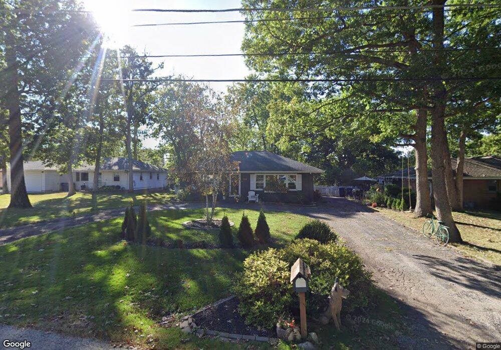
2842 W Bonnie Brook Ln Waukegan, IL 60087
Bonnie Brook NeighborhoodEstimated Value: $216,000 - $241,000
3
Beds
2
Baths
1,499
Sq Ft
$155/Sq Ft
Est. Value
About This Home
This home is located at 2842 W Bonnie Brook Ln, Waukegan, IL 60087 and is currently estimated at $231,747, approximately $154 per square foot. 2842 W Bonnie Brook Ln is a home located in Lake County with nearby schools including H R McCall Elementary School, Jack Benny Middle School, and Waukegan High School.
Ownership History
Date
Name
Owned For
Owner Type
Purchase Details
Closed on
Mar 25, 2015
Sold by
Gourley David and Boone Terry
Bought by
Lee Veronica and Bernstein Dovid
Current Estimated Value
Home Financials for this Owner
Home Financials are based on the most recent Mortgage that was taken out on this home.
Original Mortgage
$99,857
Outstanding Balance
$78,057
Interest Rate
4.25%
Mortgage Type
FHA
Estimated Equity
$153,690
Purchase Details
Closed on
Oct 11, 2014
Sold by
Peretick Brian and Estate Of Matthew J Peretick
Bought by
Gourley David and Boone Terry
Create a Home Valuation Report for This Property
The Home Valuation Report is an in-depth analysis detailing your home's value as well as a comparison with similar homes in the area
Home Values in the Area
Average Home Value in this Area
Purchase History
| Date | Buyer | Sale Price | Title Company |
|---|---|---|---|
| Lee Veronica | $101,700 | Ct | |
| Gourley David | $50,000 | None Available |
Source: Public Records
Mortgage History
| Date | Status | Borrower | Loan Amount |
|---|---|---|---|
| Open | Lee Veronica | $99,857 |
Source: Public Records
Tax History Compared to Growth
Tax History
| Year | Tax Paid | Tax Assessment Tax Assessment Total Assessment is a certain percentage of the fair market value that is determined by local assessors to be the total taxable value of land and additions on the property. | Land | Improvement |
|---|---|---|---|---|
| 2024 | $4,781 | $65,087 | $15,466 | $49,621 |
| 2023 | $4,901 | $58,700 | $13,948 | $44,752 |
| 2022 | $4,901 | $56,133 | $16,434 | $39,699 |
| 2021 | $4,414 | $48,341 | $14,409 | $33,932 |
| 2020 | $4,425 | $45,036 | $13,424 | $31,612 |
| 2019 | $4,401 | $41,268 | $12,301 | $28,967 |
| 2018 | $5,012 | $45,149 | $16,863 | $28,286 |
| 2017 | $4,828 | $39,944 | $14,919 | $25,025 |
| 2016 | $3,820 | $30,718 | $11,474 | $19,244 |
| 2015 | $3,861 | $27,493 | $10,269 | $17,224 |
| 2014 | $2,703 | $26,130 | $8,051 | $18,079 |
| 2012 | $3,496 | $28,308 | $8,722 | $19,586 |
Source: Public Records
Map
Nearby Homes
- 3101 Country Club Ln
- 12312 W Audrey Ave
- 2708 Dana Ave
- 3211 Rugby Ct
- 2705 Dana Ave
- 2613 N Lewis Ave
- 2713 Varonen Ave
- 1612 Whitney St
- 1636 Rice St
- 2350 N Lewis Ave
- 36955 N Garrick Ave
- 37966 N Cornell Rd
- 3032 W Vermont Ave
- 3411 N Lewis Ave
- 36245 N Green Bay Rd
- 3320 Sunset Ave
- 12535 W Blanchard Rd
- 2928 W Country Club Ave
- 3000 W Country Club Ave
- 2946 W Country Club Ave
- 2515 N Bonnie Brook Ln Unit W
- 2836 W Bonnie Brook Ln
- 2830 W Bonnie Brook Ln
- 2510 N Bonnie Brook Ln Unit W
- 2841 W Bonnie Brook Ln
- 2835 W Bonnie Brook Ln
- 2425 N Bonnie Brook Ln Unit W
- 2824 W Bonnie Brook Ln
- 2829 W Bonnie Brook Ln
- 2912 W Bonnie Brook Ln
- 2420 N Bonnie Brook Ln Unit W
- 2823 W Bonnie Brook Ln
- 2818 W Bonnie Brook Ln
- 2602 N Bonnie Brook Ln Unit W
- 2911 W Bonnie Brook Ln
- 2918 W Bonnie Brook Ln
- 2812 W Bonnie Brook Ln
- 2817 W Bonnie Brook Ln
- 2848 Forest Ln
- 2836 Forest Ln