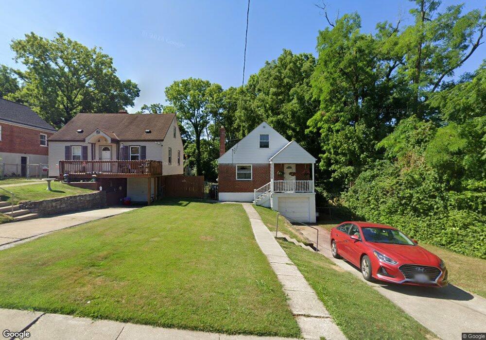
2845 Claypole Ave Cincinnati, OH 45204
East Price Hill NeighborhoodEstimated Value: $95,000 - $129,000
3
Beds
1
Bath
1,172
Sq Ft
$101/Sq Ft
Est. Value
About This Home
This home is located at 2845 Claypole Ave, Cincinnati, OH 45204 and is currently estimated at $118,700, approximately $101 per square foot. 2845 Claypole Ave is a home located in Hamilton County with nearby schools including Robert A. Taft Information Technology High School, Gilbert A. Dater High School, and Western Hills High School.
Ownership History
Date
Name
Owned For
Owner Type
Purchase Details
Closed on
Feb 13, 2006
Sold by
Flesher Charles D and Flesher Mary L
Bought by
Flesher Michael S and Flesher Gary L
Current Estimated Value
Home Financials for this Owner
Home Financials are based on the most recent Mortgage that was taken out on this home.
Original Mortgage
$68,000
Interest Rate
6.3%
Mortgage Type
Fannie Mae Freddie Mac
Create a Home Valuation Report for This Property
The Home Valuation Report is an in-depth analysis detailing your home's value as well as a comparison with similar homes in the area
Home Values in the Area
Average Home Value in this Area
Purchase History
| Date | Buyer | Sale Price | Title Company |
|---|---|---|---|
| Flesher Michael S | -- | None Available |
Source: Public Records
Mortgage History
| Date | Status | Borrower | Loan Amount |
|---|---|---|---|
| Closed | Flesher Michael S | $68,000 |
Source: Public Records
Tax History
| Year | Tax Paid | Tax Assessment Tax Assessment Total Assessment is a certain percentage of the fair market value that is determined by local assessors to be the total taxable value of land and additions on the property. | Land | Improvement |
|---|---|---|---|---|
| 2025 | $1,868 | $30,097 | $3,822 | $26,275 |
| 2023 | $1,852 | $30,097 | $3,822 | $26,275 |
| 2022 | $1,245 | $18,046 | $3,346 | $14,700 |
| 2021 | $1,194 | $18,046 | $3,346 | $14,700 |
| 2020 | $1,228 | $18,046 | $3,346 | $14,700 |
| 2019 | $1,220 | $16,405 | $3,042 | $13,363 |
| 2018 | $1,222 | $16,405 | $3,042 | $13,363 |
| 2017 | $1,160 | $16,405 | $3,042 | $13,363 |
| 2016 | $1,434 | $20,017 | $3,420 | $16,597 |
| 2015 | $1,293 | $20,017 | $3,420 | $16,597 |
| 2014 | $1,302 | $20,017 | $3,420 | $16,597 |
| 2013 | $1,365 | $20,637 | $3,525 | $17,112 |
Source: Public Records
Map
Nearby Homes
- 2832 Claypole Ave
- 1114 Wing St
- 2829 Glenway Ave
- 2540 Ring Place
- 1741 Grand Ave
- 2500 Warsaw Ave
- 2519 Warsaw Ave
- 1030 Considine Ave
- 1646 State Ave
- 3320 Glenway Ave
- 3321 Glenway Ave
- 2425 Glenway Ave
- 2485 Warsaw Ave
- 1015 Purcell Ave
- 922 Summit Ave
- 2360 Wilder Ave
- 1669 State Ave
- 1671 State Ave
- 2182 Grand Ave
- 2358 Glenway Ave
- 2843 Claypole Ave
- 1116 Wing St
- 1118 Wing St
- 1120 Wing St
- 2841 Claypole Ave
- 1110 Wing St
- 2839 Claypole Ave
- 2848 Claypole Ave
- 2840 Sterrett Ave
- 2837 Claypole Ave
- 2846 Claypole Ave
- * Wing St
- 2836 Sterrett Ave
- 1117 Wing St
- 2860 Sterrett Ave
- 2832 Sterrett Ave
- 2844 Claypole Ave
- 2842 Claypole Ave
- 1113 Wing St
- 1121 Wing St
Your Personal Tour Guide
Ask me questions while you tour the home.