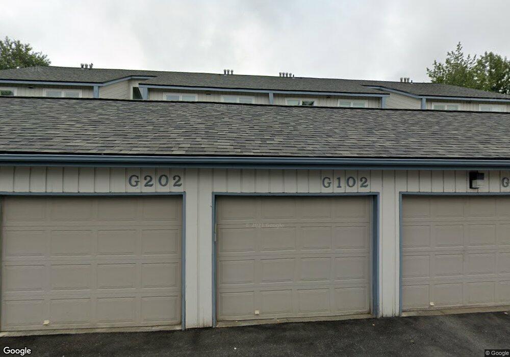
2845 W Intl Airport Rd Anchorage, AK 99502
Spenard NeighborhoodEstimated Value: $118,000 - $234,489
2
Beds
2
Baths
1,002
Sq Ft
$193/Sq Ft
Est. Value
About This Home
This home is located at 2845 W Intl Airport Rd, Anchorage, AK 99502 and is currently estimated at $193,830, approximately $193 per square foot. 2845 W Intl Airport Rd is a home located in Anchorage Municipality with nearby schools including Northwood Elementary School, Romig Middle School, and West High School.
Ownership History
Date
Name
Owned For
Owner Type
Purchase Details
Closed on
Jun 6, 2017
Sold by
The Secretary Of Veterans Affairs
Bought by
Stewart Marilyn
Current Estimated Value
Home Financials for this Owner
Home Financials are based on the most recent Mortgage that was taken out on this home.
Original Mortgage
$151,119
Outstanding Balance
$125,803
Interest Rate
4.05%
Mortgage Type
VA
Estimated Equity
$68,027
Purchase Details
Closed on
Dec 20, 2016
Sold by
Wells Fargo Bank Na
Bought by
Secretary Of Veterans Affairs
Purchase Details
Closed on
Dec 13, 2016
Sold by
Clifton George M and Clifton Jeri L
Bought by
Wells Fargo Bank Na
Purchase Details
Closed on
Jun 29, 2012
Sold by
Clifton George M and Clifton Jeri L
Bought by
Clifton George M and Clifton Jeri L
Home Financials for this Owner
Home Financials are based on the most recent Mortgage that was taken out on this home.
Original Mortgage
$166,250
Interest Rate
3.74%
Mortgage Type
VA
Purchase Details
Closed on
Jan 21, 2011
Sold by
Clifton George M
Bought by
Clifton George M and Clifton Jeri L
Purchase Details
Closed on
May 27, 2010
Sold by
Balangue Bert A and Balangue Teresita A
Bought by
Clifton George M
Home Financials for this Owner
Home Financials are based on the most recent Mortgage that was taken out on this home.
Original Mortgage
$167,526
Interest Rate
5.03%
Mortgage Type
VA
Purchase Details
Closed on
Sep 12, 2002
Sold by
Gerwin Robert B and Gerwin Naomi
Bought by
Balangue Bert A and Balangue Teresita A
Home Financials for this Owner
Home Financials are based on the most recent Mortgage that was taken out on this home.
Original Mortgage
$58,100
Interest Rate
6.37%
Purchase Details
Closed on
Aug 30, 1989
Sold by
Federal National Mortgage Assn
Bought by
Cloninger Paul C
Home Financials for this Owner
Home Financials are based on the most recent Mortgage that was taken out on this home.
Original Mortgage
$47,400
Interest Rate
10%
Mortgage Type
Seller Take Back
Create a Home Valuation Report for This Property
The Home Valuation Report is an in-depth analysis detailing your home's value as well as a comparison with similar homes in the area
Home Values in the Area
Average Home Value in this Area
Purchase History
| Date | Buyer | Sale Price | Title Company |
|---|---|---|---|
| Stewart Marilyn | -- | Sta | |
| Secretary Of Veterans Affairs | -- | None Available | |
| Wells Fargo Bank Na | $126,075 | Accommodation | |
| Clifton George M | -- | Stewart Title Company | |
| Clifton George M | -- | None Available | |
| Clifton George M | -- | Atga | |
| Balangue Bert A | -- | -- | |
| Cloninger Paul C | -- | -- | |
| Cloninger Paul C | -- | -- |
Source: Public Records
Mortgage History
| Date | Status | Borrower | Loan Amount |
|---|---|---|---|
| Open | Stewart Marilyn | $151,119 | |
| Previous Owner | Clifton George M | $166,250 | |
| Previous Owner | Clifton George M | $167,526 | |
| Previous Owner | Balangue Bert A | $58,100 | |
| Previous Owner | Cloninger Paul C | $47,400 |
Source: Public Records
Tax History Compared to Growth
Tax History
| Year | Tax Paid | Tax Assessment Tax Assessment Total Assessment is a certain percentage of the fair market value that is determined by local assessors to be the total taxable value of land and additions on the property. | Land | Improvement |
|---|---|---|---|---|
| 2025 | $3,176 | $228,900 | -- | $228,900 |
| 2024 | $3,176 | $196,700 | $0 | $196,700 |
| 2023 | $2,841 | $166,800 | $0 | $166,800 |
| 2022 | $2,558 | $151,900 | $0 | $151,900 |
| 2021 | $2,881 | $159,900 | $0 | $159,900 |
| 2020 | $2,543 | $149,600 | $0 | $149,600 |
| 2019 | $2,469 | $150,900 | $0 | $150,900 |
| 2018 | $2,565 | $156,400 | $0 | $156,400 |
| 2017 | $2,714 | $173,300 | $0 | $173,300 |
| 2016 | $2,143 | $180,200 | $0 | $180,200 |
| 2015 | $2,143 | $158,500 | $0 | $158,500 |
| 2014 | $2,143 | $148,500 | $0 | $148,500 |
Source: Public Records
Map
Nearby Homes
- 2815 W International Airport Rd Unit B104
- 2891 W Intl Airport Rd Unit C108
- 2808 Iris Dr
- 4302 Forrest Rd
- 2101 W 47th Ave
- 3333 Lakeshore Dr Unit 5
- 3333 Lakeshore Dr Unit 2
- NHN Northwood Dr
- 5000 Northwood Dr
- 2040 Wenmatt Cir
- 3913 Barbara Dr
- 4000 Iowa Dr
- 1808 W 47th Ave
- 2202 Lincoln Ave
- 6017 Collins Way
- 6305 Blackberry St
- 3900 Crosson Dr
- 3223 W 62nd Ave
- 6140 Collins Way
- 2105 Mckinley Ave
- 2845 W Intl Airport Rd
- 2845 W Intl Airport Rd
- 2845 W Intl Airport Rd
- 2845 W Intl Airport Rd
- 2845 W Intl Airport Rd
- 2845 W Intl Airport Rd
- 2845 W Intl Airport Rd
- 2845 W Intl Airport Rd
- 2845 W Intl Airport Rd
- 2845 W Intl Airport Rd
- 2845 W Intl Airport Rd
- 2845 W International Airport Rd Unit G-203
- 2845 W International Airport Rd Unit G304
- 2845 W International Airport Rd Unit G102
- 2845 W International Airport Rd Unit 302
- 2845 W International Airport Rd Unit G101
- 2845 W International Airport Rd Unit G104
- 2845 W International Airport Rd Unit G201
- 2845 W International Airport Rd Unit G204
- 2845 W International Airport Rd Unit G202