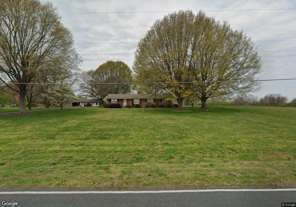
2846 Long Cir Iron Station, NC 28080
Estimated Value: $484,151 - $641,000
4
Beds
3
Baths
2,150
Sq Ft
$261/Sq Ft
Est. Value
About This Home
This home is located at 2846 Long Cir, Iron Station, NC 28080 and is currently estimated at $561,038, approximately $260 per square foot. 2846 Long Cir is a home located in Lincoln County with nearby schools including Iron Station Elementary School, East Lincoln Middle School, and East Lincoln High School.
Ownership History
Date
Name
Owned For
Owner Type
Purchase Details
Closed on
Aug 19, 2021
Sold by
Bailey Carmen Ritchie and Elaine Robinson Ritchie Patricia
Bought by
Bailey Carmen Ritchie and Englert Allison Ritchie
Current Estimated Value
Purchase Details
Closed on
May 25, 2021
Sold by
Ritchie Patricia Blaine Robinson and Bailey Carmen Ritchie
Bought by
Bailey Carmen Ritchie and Englert Allison Ritchie
Create a Home Valuation Report for This Property
The Home Valuation Report is an in-depth analysis detailing your home's value as well as a comparison with similar homes in the area
Home Values in the Area
Average Home Value in this Area
Purchase History
| Date | Buyer | Sale Price | Title Company |
|---|---|---|---|
| Bailey Carmen Ritchie | -- | None Available | |
| Bailey Allison Ritchie | -- | None Listed On Document | |
| Bailey Carmen Ritchie | -- | None Available | |
| Bailey Carmen Ritchie | -- | None Listed On Document |
Source: Public Records
Tax History Compared to Growth
Tax History
| Year | Tax Paid | Tax Assessment Tax Assessment Total Assessment is a certain percentage of the fair market value that is determined by local assessors to be the total taxable value of land and additions on the property. | Land | Improvement |
|---|---|---|---|---|
| 2025 | $1,578 | $357,185 | $165,854 | $191,331 |
| 2024 | $1,558 | $357,185 | $165,854 | $191,331 |
| 2023 | $1,522 | $357,185 | $165,854 | $191,331 |
| 2022 | $1,391 | $259,983 | $116,497 | $143,486 |
| 2021 | $1,391 | $259,983 | $116,497 | $143,486 |
| 2020 | $1,241 | $259,983 | $116,497 | $143,486 |
| 2019 | $1,241 | $259,983 | $116,497 | $143,486 |
| 2018 | $0 | $219,077 | $96,530 | $122,547 |
| 2017 | $1,097 | $219,077 | $96,530 | $122,547 |
| 2016 | $1,097 | $219,077 | $96,530 | $122,547 |
| 2015 | $1,165 | $219,077 | $96,530 | $122,547 |
| 2014 | -- | $251,613 | $119,287 | $132,326 |
Source: Public Records
Map
Nearby Homes
- 222 Oakhill St
- 6 Hager Mountain Ln
- 4394 Mountain Creek Rd
- 4859 Paysour Pond Rd
- 4435 Cornett Dr
- 5486 E Highway 27
- 3960 Orchard Rd
- 1279 Craig Dr
- 3388 Rhyne Forest Rd
- 121 Alexis Forest Dr
- 713 Alexis Lucia Rd
- 1789 Doe Ct
- 1785 Doe Ct
- 3323 Sadler Rd
- 1713 Oak Park Ct
- 0001 Mayberry Rd
- 5038 Arden Gate Dr
- 0 Wolf Rd Unit 8
- 5039 Penn Rd
- 1481 Depot St
- 2872 Long Cir
- 3285 Cinnabar Ln
- 2895 Long Cir
- 2888 Long Cir
- 3269 Cinnabar Ln
- 2817 Long Cir
- 3241 Cinnabar Ln
- 2891 Long Cir
- 3256 Cinnabar Ln
- 2781 Crest Dr
- 3246 Cinnabar Ln
- 2925 Long Cir
- 6275 E Highway 27 Hwy
- 3234 Cinnabar Ln
- 2797 Crest Dr
- 2765 Long Cir
- 3224 Cinnabar Ln
- 2956 Long Cir
- 2933 Long Cir
- 2746 Long Cir