Estimated Value: $365,167 - $409,000
3
Beds
1
Bath
1,448
Sq Ft
$269/Sq Ft
Est. Value
About This Home
This home is located at 2846 Mt Brynion Rd, Kelso, WA 98626 and is currently estimated at $389,792, approximately $269 per square foot. 2846 Mt Brynion Rd is a home located in Cowlitz County with nearby schools including Butler Acres Elementary School, Coweeman Middle School, and Kelso High School.
Ownership History
Date
Name
Owned For
Owner Type
Purchase Details
Closed on
May 19, 2021
Sold by
Krieger John M and Krieger Judy R
Bought by
Krieger John M and Krieger Judy R
Current Estimated Value
Purchase Details
Closed on
Apr 10, 2006
Sold by
Nylund Homes Inc
Bought by
Ennis Robert W and Ennis Tara J
Home Financials for this Owner
Home Financials are based on the most recent Mortgage that was taken out on this home.
Original Mortgage
$107,250
Outstanding Balance
$65,157
Interest Rate
7.37%
Mortgage Type
Fannie Mae Freddie Mac
Estimated Equity
$324,635
Create a Home Valuation Report for This Property
The Home Valuation Report is an in-depth analysis detailing your home's value as well as a comparison with similar homes in the area
Home Values in the Area
Average Home Value in this Area
Purchase History
| Date | Buyer | Sale Price | Title Company |
|---|---|---|---|
| Krieger John M | -- | None Available | |
| Ennis Robert W | $143,000 | Stewart Title |
Source: Public Records
Mortgage History
| Date | Status | Borrower | Loan Amount |
|---|---|---|---|
| Open | Ennis Robert W | $107,250 |
Source: Public Records
Tax History Compared to Growth
Tax History
| Year | Tax Paid | Tax Assessment Tax Assessment Total Assessment is a certain percentage of the fair market value that is determined by local assessors to be the total taxable value of land and additions on the property. | Land | Improvement |
|---|---|---|---|---|
| 2024 | $2,395 | $236,720 | $60,890 | $175,830 |
| 2023 | $2,183 | $202,250 | $51,600 | $150,650 |
| 2022 | $1,977 | $216,850 | $54,680 | $162,170 |
| 2021 | $1,823 | $180,890 | $47,960 | $132,930 |
| 2020 | $1,785 | $154,630 | $45,680 | $108,950 |
| 2019 | $1,727 | $152,456 | $43,502 | $108,954 |
| 2018 | $1,623 | $140,780 | $43,500 | $97,280 |
| 2017 | $1,438 | $120,410 | $41,040 | $79,370 |
| 2016 | $1,307 | $106,740 | $31,540 | $75,200 |
| 2015 | $1,328 | $98,490 | $31,540 | $66,950 |
| 2013 | -- | $91,920 | $28,350 | $63,570 |
Source: Public Records
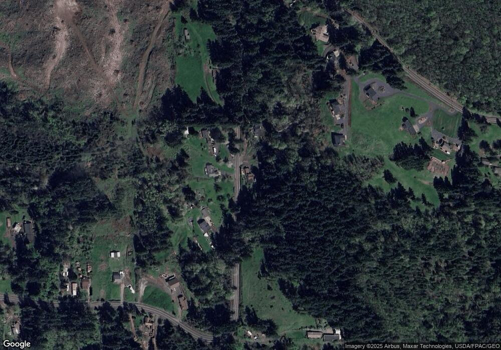
Map
Nearby Homes
- 0 P#61828 Brussat Rd
- 1604 Tara Ct
- 1512 Tara St
- 550 Holcomb Rd
- 1426 Pries Ct
- 1420 Pries Ct
- 937 Edinburgh Ct
- 2409 Sunrise St
- 2411 Bloyd St
- 3149 Harris Street Rd
- 106 Carolyn Dr
- 203 Williams Finney Rd
- 2002 Bloyd St
- 1921 Teresa Way
- 2102 Burcham St
- 260 Crescent Dr
- 2922 Allen St
- 311 Holcomb Spur Rd
- 2734 Allen St
- 55 Veys Dr
- 2847 Mt Brynion Rd
- 2853 Mt Brynion Rd
- 2858 Mount Brynion Rd
- 2741 Mt Brynion Rd
- 140 Nordstrom Ln
- 2865 Mt Brynion Rd
- 130 Nordstrom Ln
- 120 Nordstrom Ln
- 2641 Mt Brynion Rd
- 3320 Mt Brynion Rd
- 110 Nordstrom Ln
- 2625 Mt Brynion Rd
- 3330 Mt Brynion Rd
- 2632 Mt Brynion Rd
- 3000 Mt Brynion Rd
- 3340 Mt Brynion Rd
- 2605 Mt Brynion Rd
- 0 Brussat Rd Unit NWM2155794
- 0 Brussat Rd Unit 10052698
- 0 Brussat Rd Unit 11107388